
TRIP REPORT: Allen Mountain – Adirondacks, NY 10-11-15
Hiking stats at a glance:
~18 miles total
~3800 ft of elevation gain
1 High Peak – Allen 4,347 ft
~8hrs
This past weekend I headed up to the High Peaks on Saturday night to meet up with a member of the ADK High Peaks forum, Alistair for a hike up Allen on Sunday. Generally no one has good things to say about hiking up Allen so its no surprise that I left it as my 45th peak on my quest for the 46 high peaks. Luckily it was a warm autumn day which made up for any of Allen’s negative aspects.
Before I get into the specifics of the day I feel the need to talk about Allen’s fearsome reputation among Adirondack hikers. In my research over the years I have found that Allen tends to end up on peoples top 5 least favorite peak lists quite often but I am not sure that is truly warranted. I think the biggest factor in this is the sheer length of the hike which comes in at about 18 miles and all of that is for just one peak. Although it is a long distance to go for just one mountain, quite a bit of the trail is on old logging roads and although this can be very boring, it is not incredibly hard. Also if you have done longer day hikes in the region such as linking several peaks together, you won’t find this to be astronomically harder. My point here is just to say don’t let the mystique of Allen keep you away because it really isn’t all that people make it out to be!
After meeting up with Alistair bright and early after spending a restful night in the car we geared up and hit the trail at about 7am. We kept a fast and steady pace right out of the gate and were making quick progress down the trail arriving at the suspension bridge crossing over the Hudson river in no time at all.
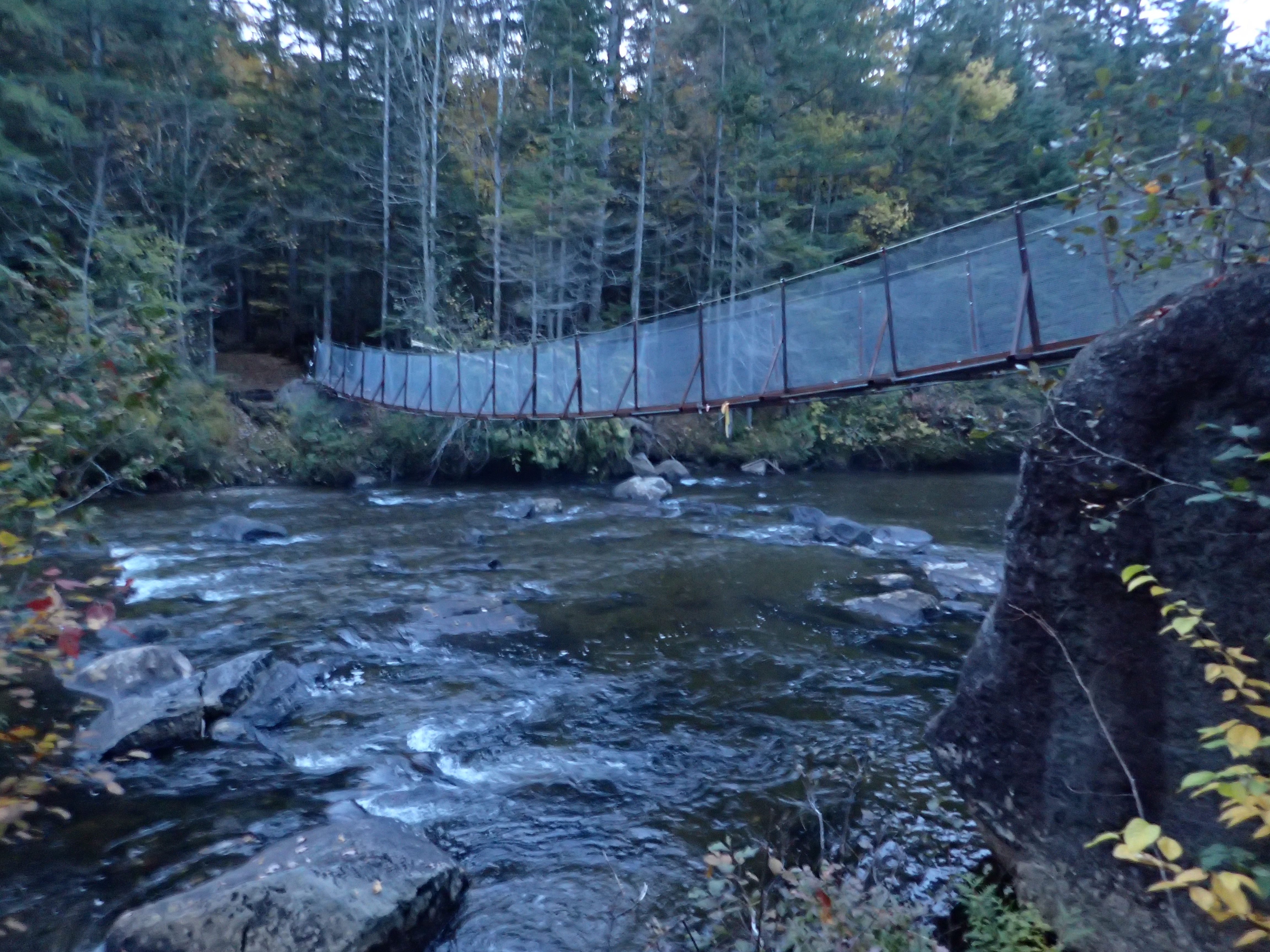
Suspension bridge over the Hudson river.
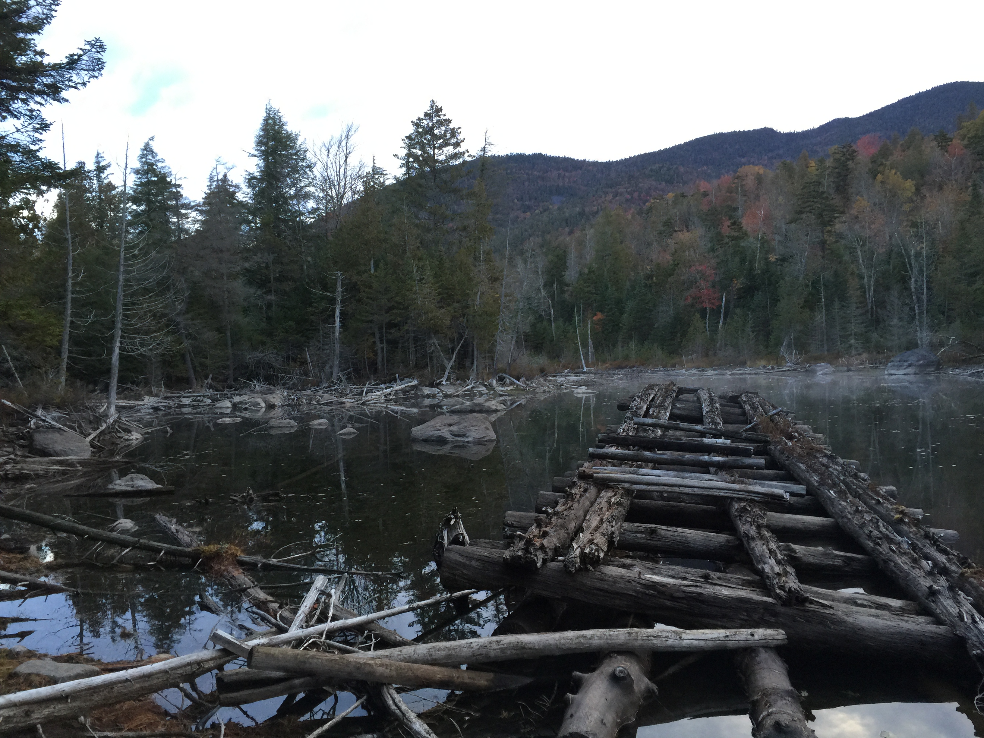
We kept up our pace and continued down the relatively flat and easy to follow trail until we came up on the shore of Lake Jimmy. At this point the old floating bridge over Lake Jimmy is completely gone and instead you have to follow the trail through the woods on your left which works its way around the lake.

Early morning view looking out over Lake Jimmy
Looking towards the left bank of Lake Jimmy

Nearing the end of the trail going around Lake Jimmy.
Once on the other side of Lake Jimmy it is just a short way before you start hiking on one of the many lengths of old mining road you will be following on your way to the summit of Allen. After about 15 minutes or so you will hit the Mt. Adams trail junction in addition to the old Mt Adams watchmen’s cabin.
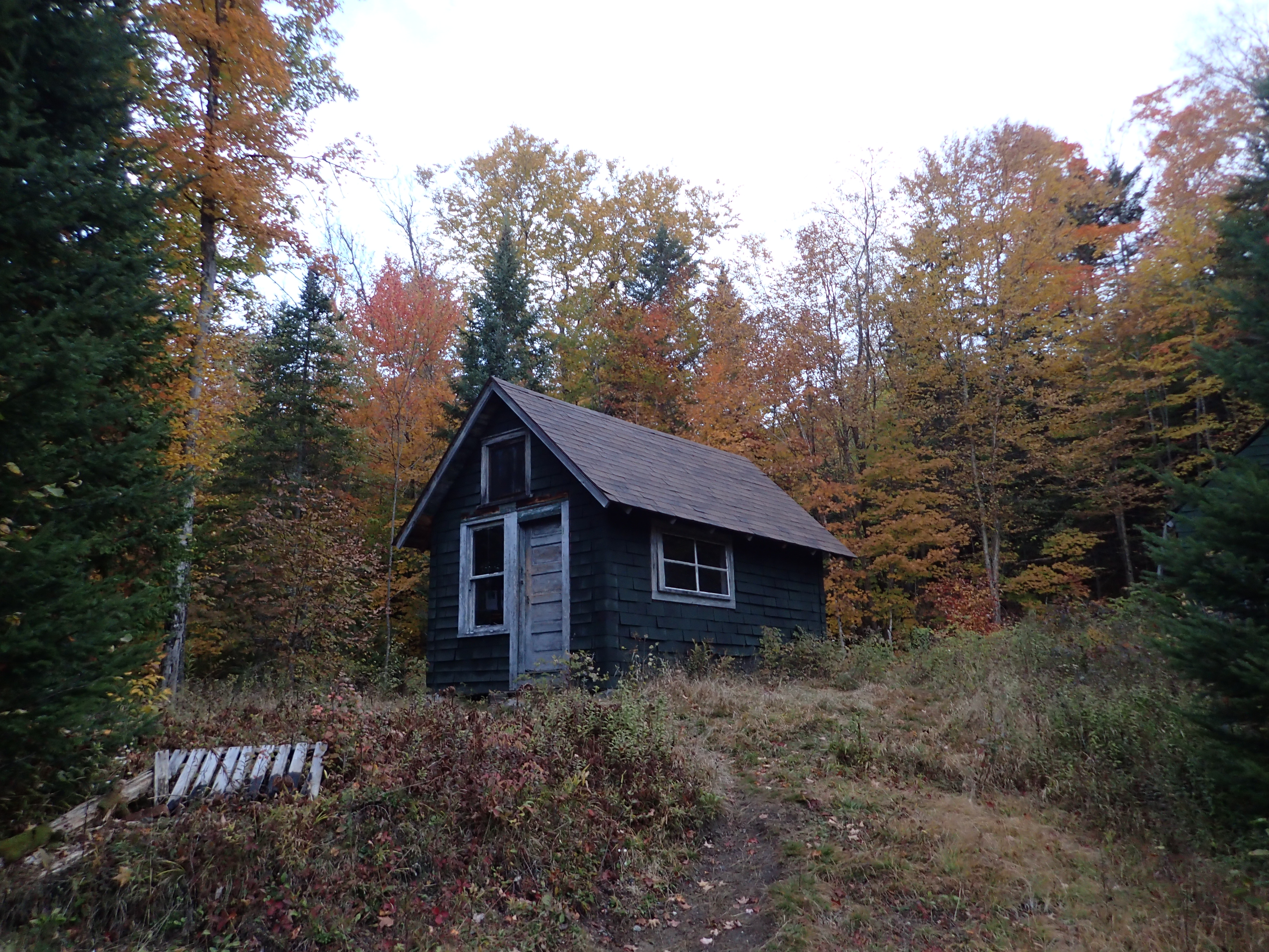
Mt Adams Watchmen’s Cabin

Trail leading towards Mt Adams. This is NOT the way you want to go.
From here a few miles of easy to follow gravel road will lead you to the banks of the Opalescent River for the dreaded water crossing. The road is easy to follow so navigation is not much of an issue along the way.

View down the old road.

More gravel road as you get closer to the Opalescent.
As you get close to the Opalescent the trail actually comes right along the banks of the river and offers some nice views. At this point the sun was starting to make an appearance through the clouds.
First view of the Opalescent up close.
After a total of about 3.8 miles we came to the junction marking the way to the actual water crossing.

Sign marking the river wade location.
There used to be a bridge crossing the river but since it was destroyed in a storm it has never been replaced so you are forced to wade through the river to get across. However, if you work your way up stream it is possible to find a spot where you can hop across some rocks to keep your feet dry, but similarly to my trip up Street and Nye, for the sake of efficiency I decided to just suck it up and go for a walk in the ice cold water.

You can see the cairns on the opposite bank you are aiming for.
On this particular day the water was ice cold and the numbness that set in pretty quickly did not really help eliminate the pain that came from stepping awkwardly on the river rocks. I would also note that some of the larger stones are quite slick so I would stick to walking on the small stuff.

Looking up stream from the center of the crossing.
On this particular day the water ranged from roughly shin to just below knee deep. Although if your selective about your path across the river you can stick to the shallower sections.
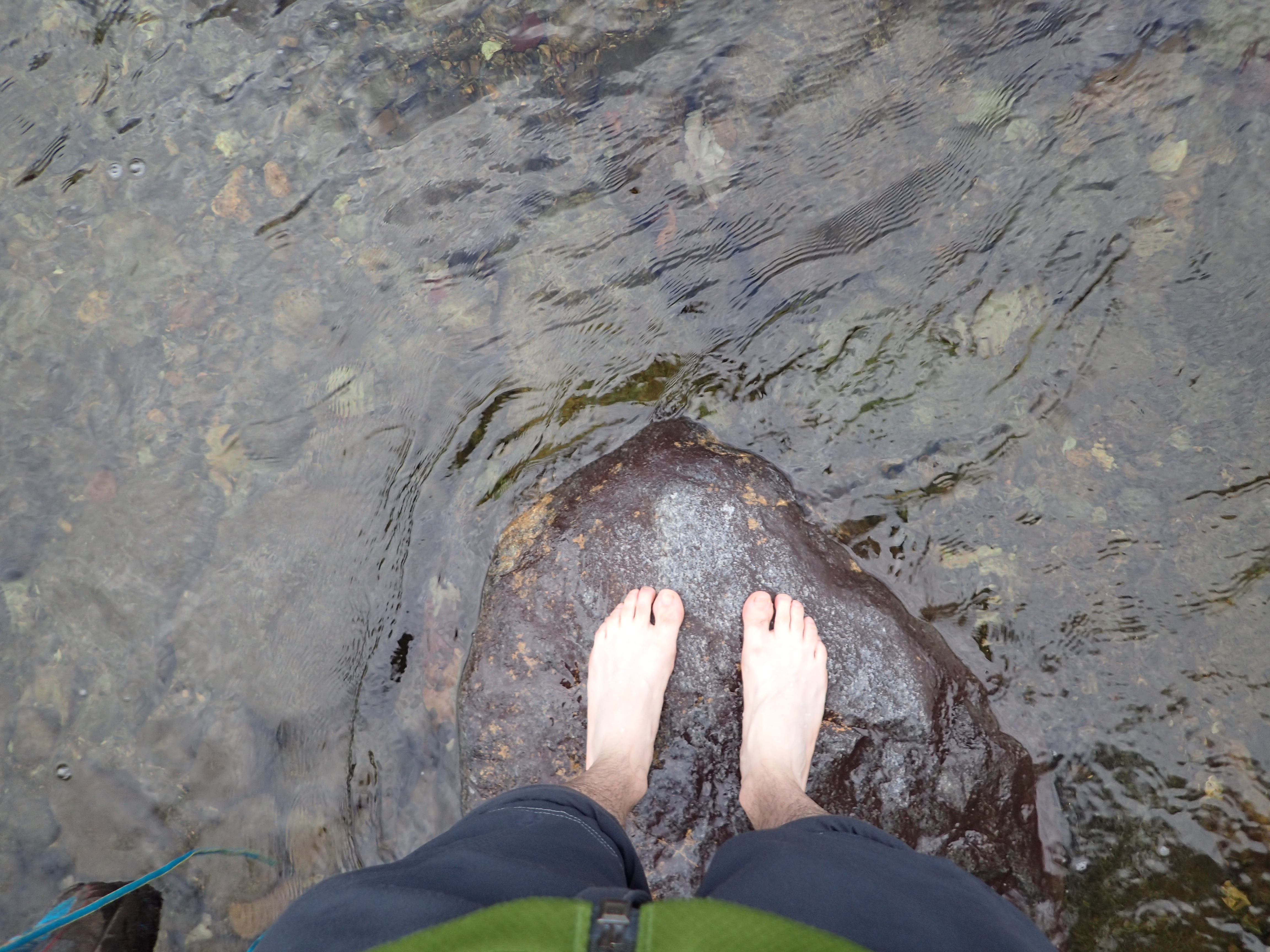
Wet feet getting a respite mid crossing on a small boulder.
All in all I enjoy these crossings and it certainly serves as a good wake up first thing in the morning! After getting my shoes back on we continued back down the trail switching back and fourth between short sections of trail through the woods and logging roads. After crossing the river and entering the meadow beyond we were greeted by our first view of Allen off in the distance.

First view of Allen.
From here there are a few more trail junctions but they are pretty hard to miss as the trail is pretty well worn. At this point the trail is still mostly flat so it was easy for us to make quick progress on our way to the base of Allen. The next major junction comes as you pass the split in the trail leading to either the Allen herd path or off towards Marcy.
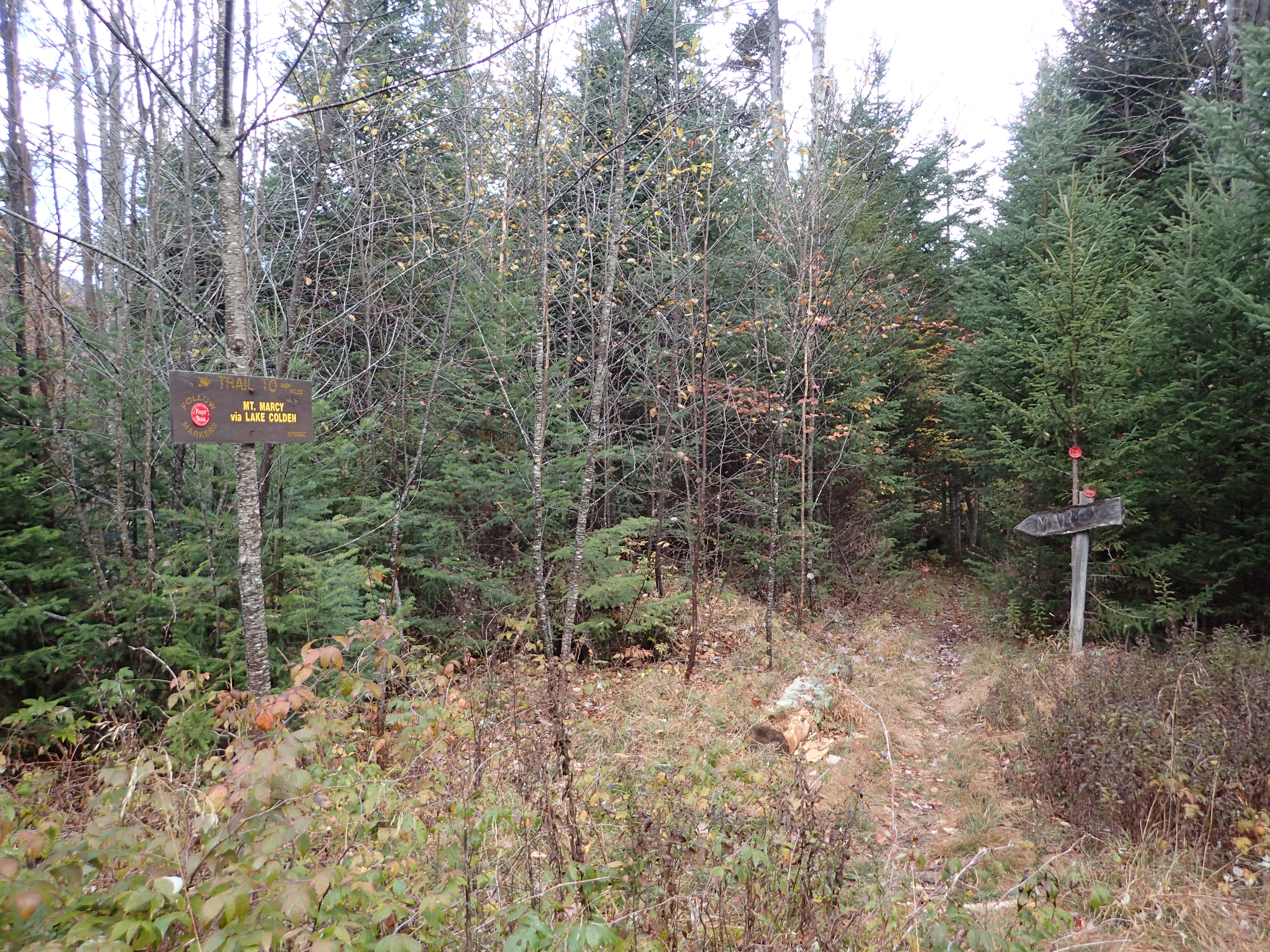
Marked trail leading towards Marcy.
At this point you want to stick to the right and take the herd path leading towards Allen. There is a small sign on a tree marking the way.

Trail junction marking the start of the Allen herd path.
After another section of mixed trail and old logging road we came to what is know as the “gravel pit” it is a rather larger parking lot sized gravel lot which down at the end has another trail register. There was also a stone fire ring in the lot which leads me to believe people have been using this spot as an impromptu camp site. The trail is clearly marked by two cairns and begins right next to the trail register at the back of the lot.

Looking back towards the trail from the trail register in the gravel pit.
At this point you will finally leave the logging roads behind and begin hiking solely in the woods. I have to admit this first section was overall pretty monotonous but it did offer a few highlights such as the Opalescent views and crossing. In addition to a heron we saw flying in the bogs along the road. This was actually the first heron I had ever seen in the High Peaks which was pretty awesome.
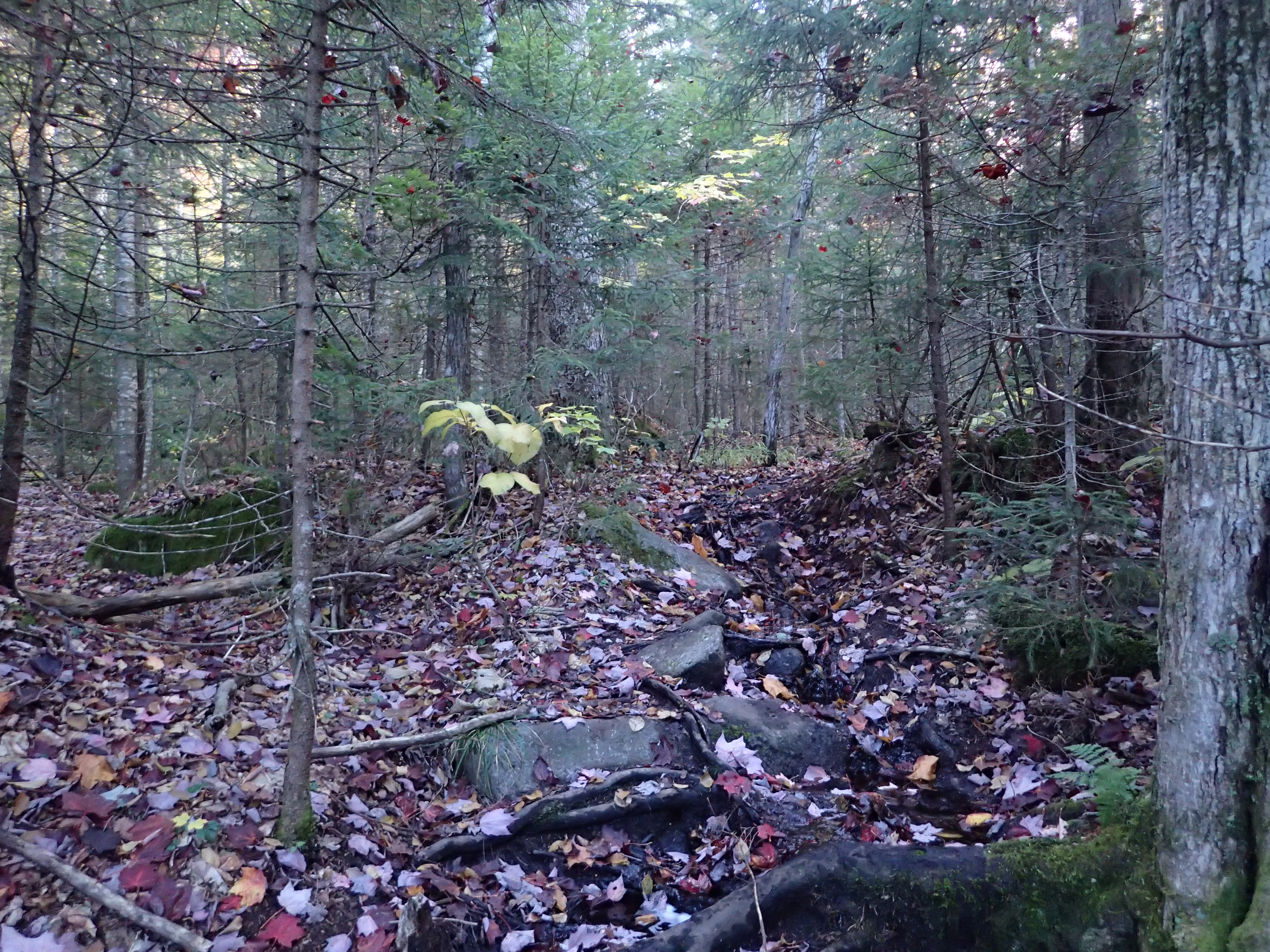
Start of the woods section after leaving the logging roads behind.
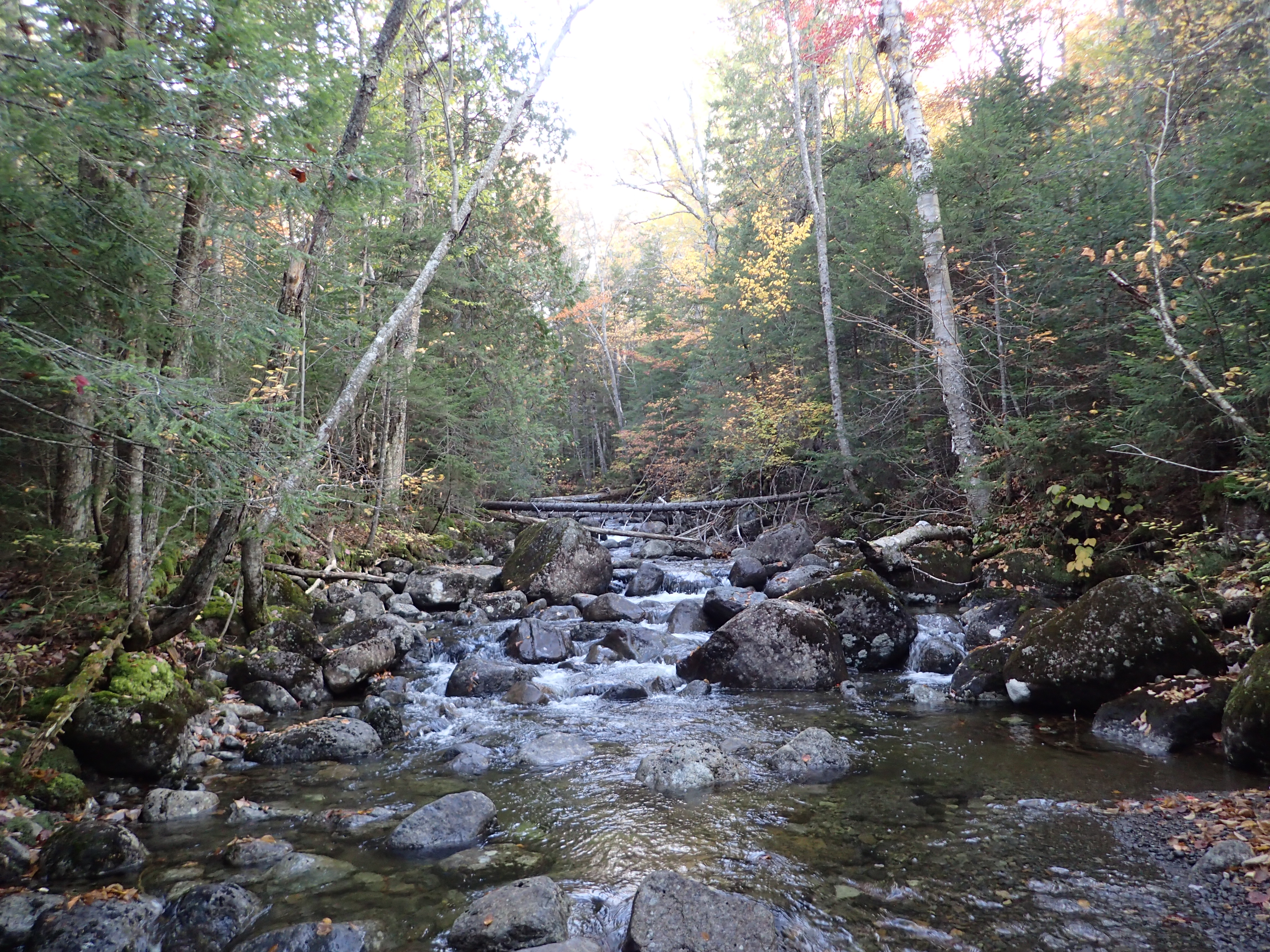
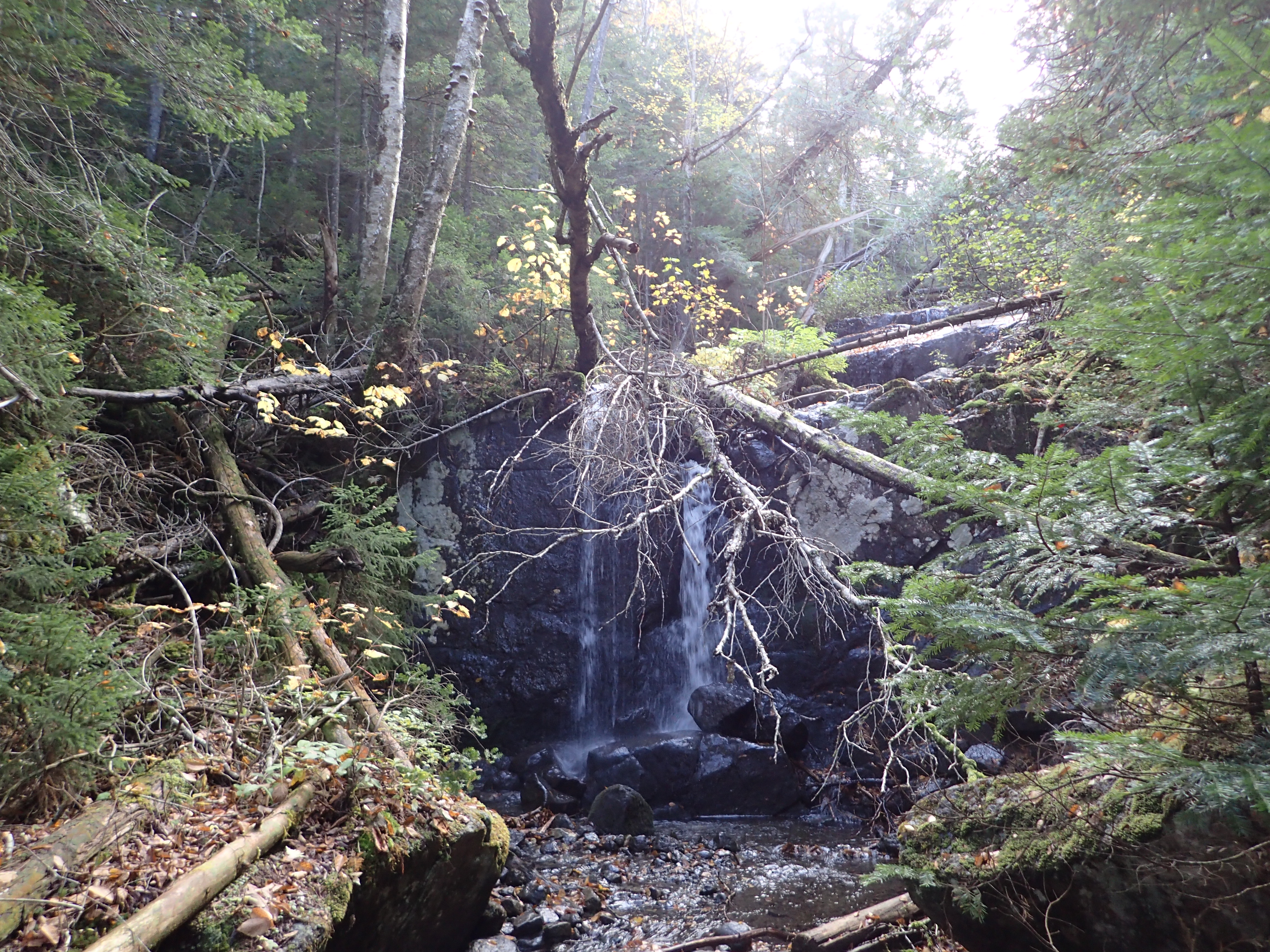
After weaving our way through the woods along slightly inclined trail we came to another crossing over a small brook which included a really beautiful water slide. I believe this would be Twin Brook but I could be mistaken. The crossing here was over a few fallen logs which were thankfully not very slippery.

Water slide along the way.

Fall colors in the brook.
After working our way further up the trail we finally came to the crossing over Skylight Brook which meant we were getting close to the base of Allen Brook and the start of the real climbing.
Skylight Brook crossing.
After crossing the Skylight Brook we followed a few cairns and a fairly obvious path along Allen brook until we reached the base of the Allen slide and source of Allen Brook. We reached the base of the Allen slide in about 4 hrs at a quick pace.
Start of the Allen slide and final stretch to the summit.
From here the first real climbing of the day actually starts. The climb up the slide is not particularly hard to follow but there are a few options for going up so just take your time and find the path of least resistance along the way. As everyone mentions do watch out for the “red slime” which covers some of the slabs making them incredibly slippery. I would just be sure to watch where you step before committing to moving upwards (or downwards on your way back). Even with being careful I still managed to slip once on the way back down, but luckily I was no worse for wear but it still wasn’t particularly fun.

Looking out onto the slide from the trail off to the slide.
At about half way up the steepest section of the slab you reach a small cairn marking a point where you have to cross from the right to left side of the slide. This may seem intimidating but the angle of the slope is low and there are plenty of flat grippy spots to step on along the way. Just be careful of where you are stepping and you shouldn’t have any problem at all.

Alistair making his way across the slab.
At this point up the slab you can also get some nice views if you turn around to take a look and I would highly recommend taking a minute to enjoy the view.

Looking back off the slide.
After cresting over the top of the slide one more short steep section through the trees will lead you to the fully wooded summit ridge of Allen. When we got up there we were mostly in the clouds but luckily it was still quite warm and enjoyable.

Last steep section to the top of the summit ridge.
After only a short hike through the trees we made it to the wooded summit. The summit itself isn’t very impressive as it is essentially just a small clearing in the woods but it did feel good to finally reach the top. On the top there is a small sign marking the summit. Also there is a small trail from the summit which leads to an overlook where you can get some obstructed views of the Great Range beyond.

Allen summit sign.
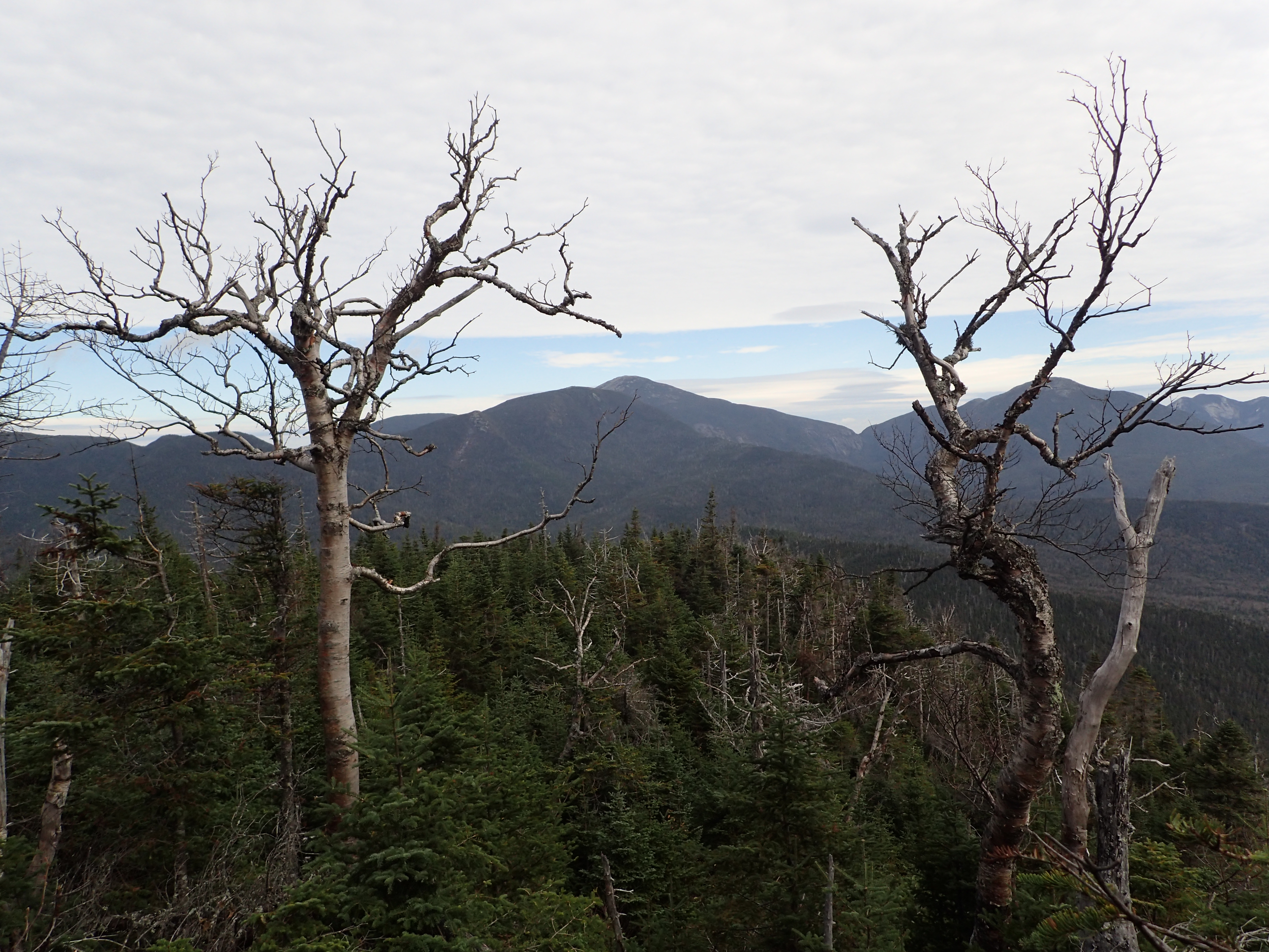
Obstructed view from the overlook.
We only took a short break on the summit before deciding the start heading back down. We actually ended up making really great time back down the slide and minus my one slip near the very base of the slide it wasn’t very eventful. After reaching the base of the slide it was just a long fairly flat walk back to the trailhead. Aside from the endless mud pits along the way it was otherwise enjoyable.
On our way down when we reached the junction to cross the Skylight Brook which was clearly marked by a couple of cairns we still managed to miss the turn and kept walking straight. As a result we ended up on a trail which had clearly been used at some point but not in quite some time. After a few minutes on this leafy trail we realized that we didn’t remember any of it and that we were clearly going the wrong way. This was confirmed by the discovery of an old trail marking post we spotted off to the side. Despite being on the wrong trail we decided to follow the trail a bit further though to see where it might lead. We followed it as far as we could until we reached a point where we lost the obvious path and after consulting a map decided to turn back the way we came and figure out what we did wrong. After only a short detour we realized where we went wrong but it was still fun to discover an old trail which was now out of use. Apparently this was an old route that fell out of use due to private property issues.

Old trail marker we discovered on our unintentional detour.
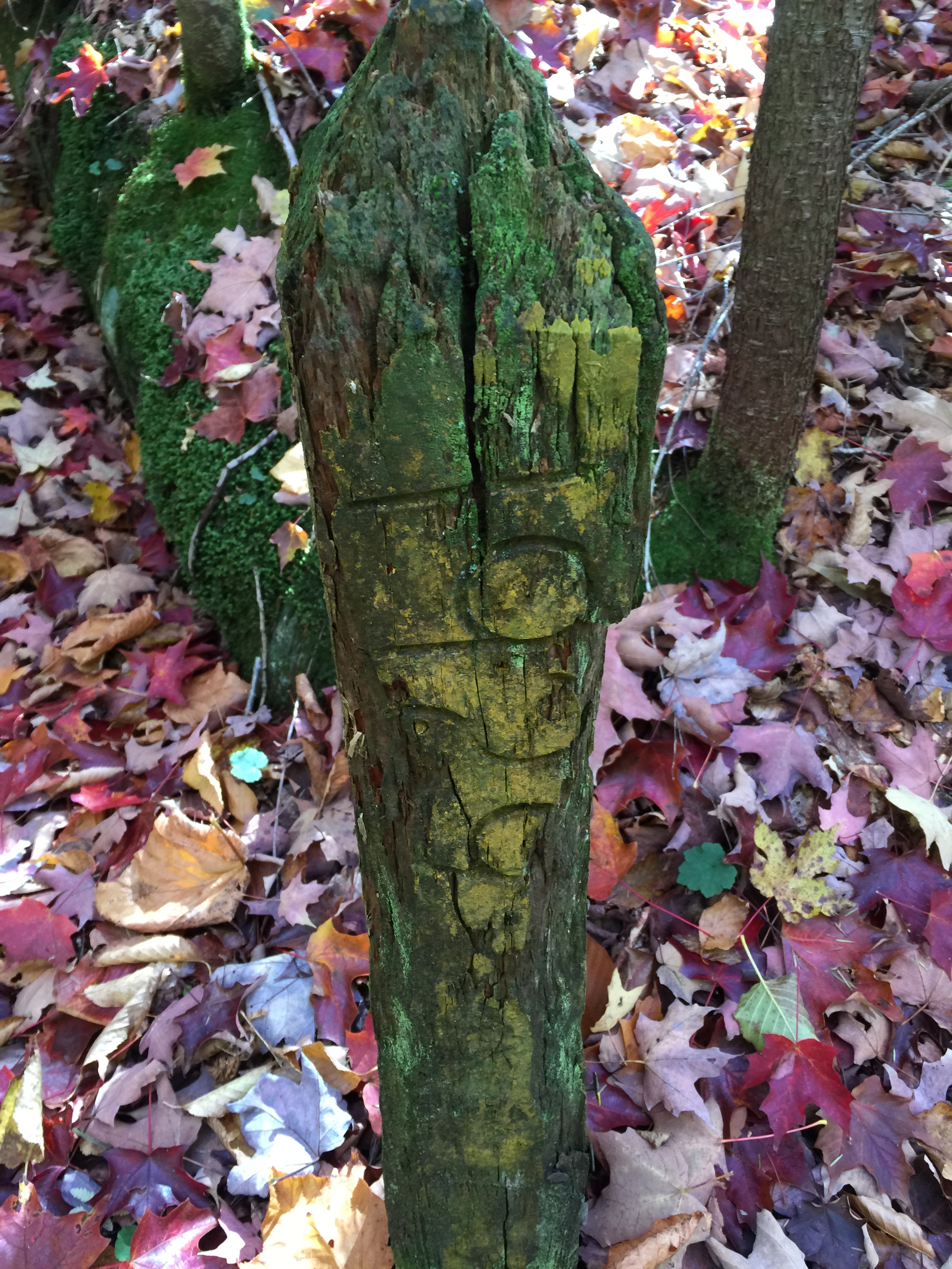
Old trail marker we discovered on our unintentional detour.
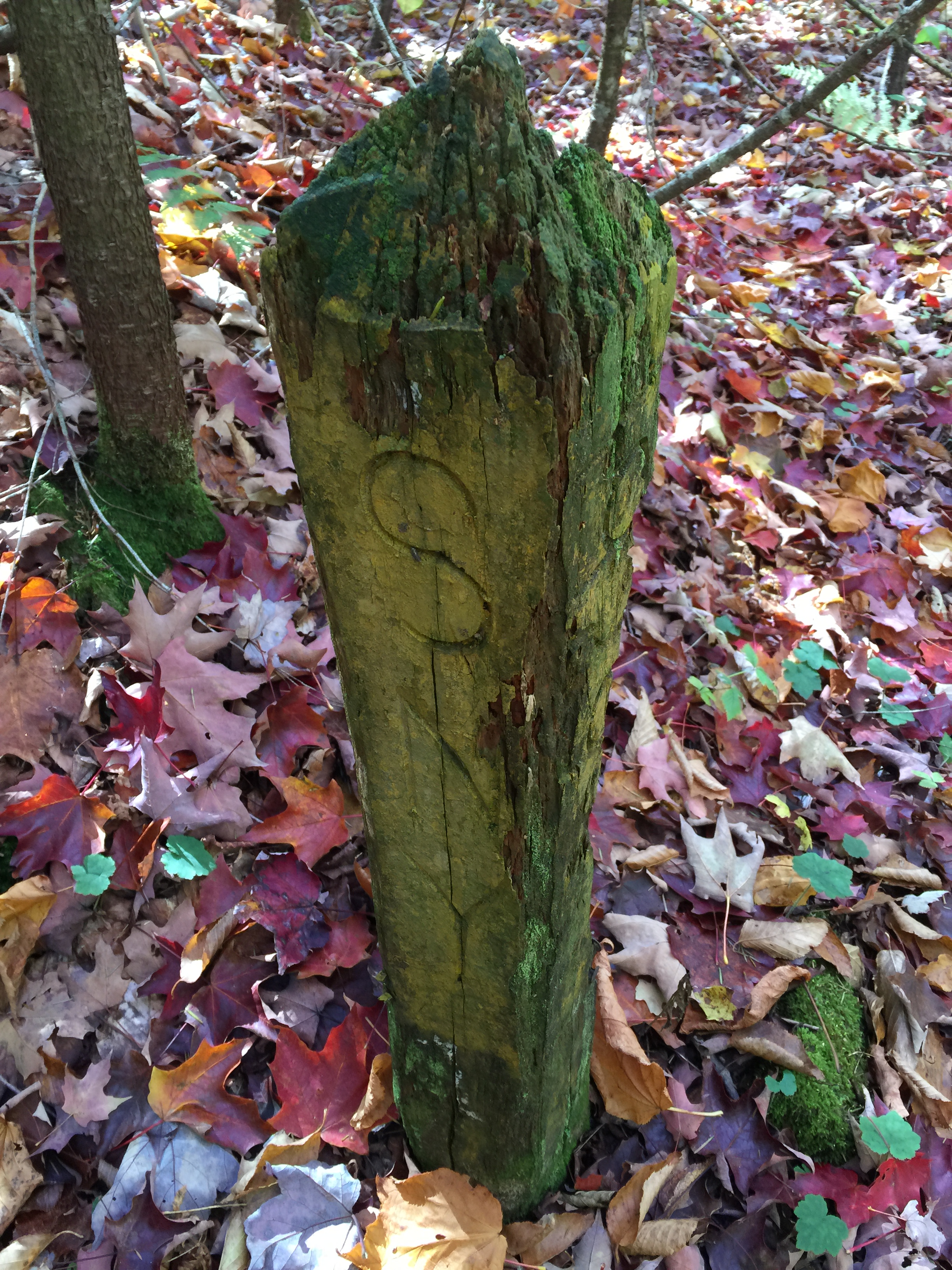
Old trail marker we discovered on our unintentional detour.
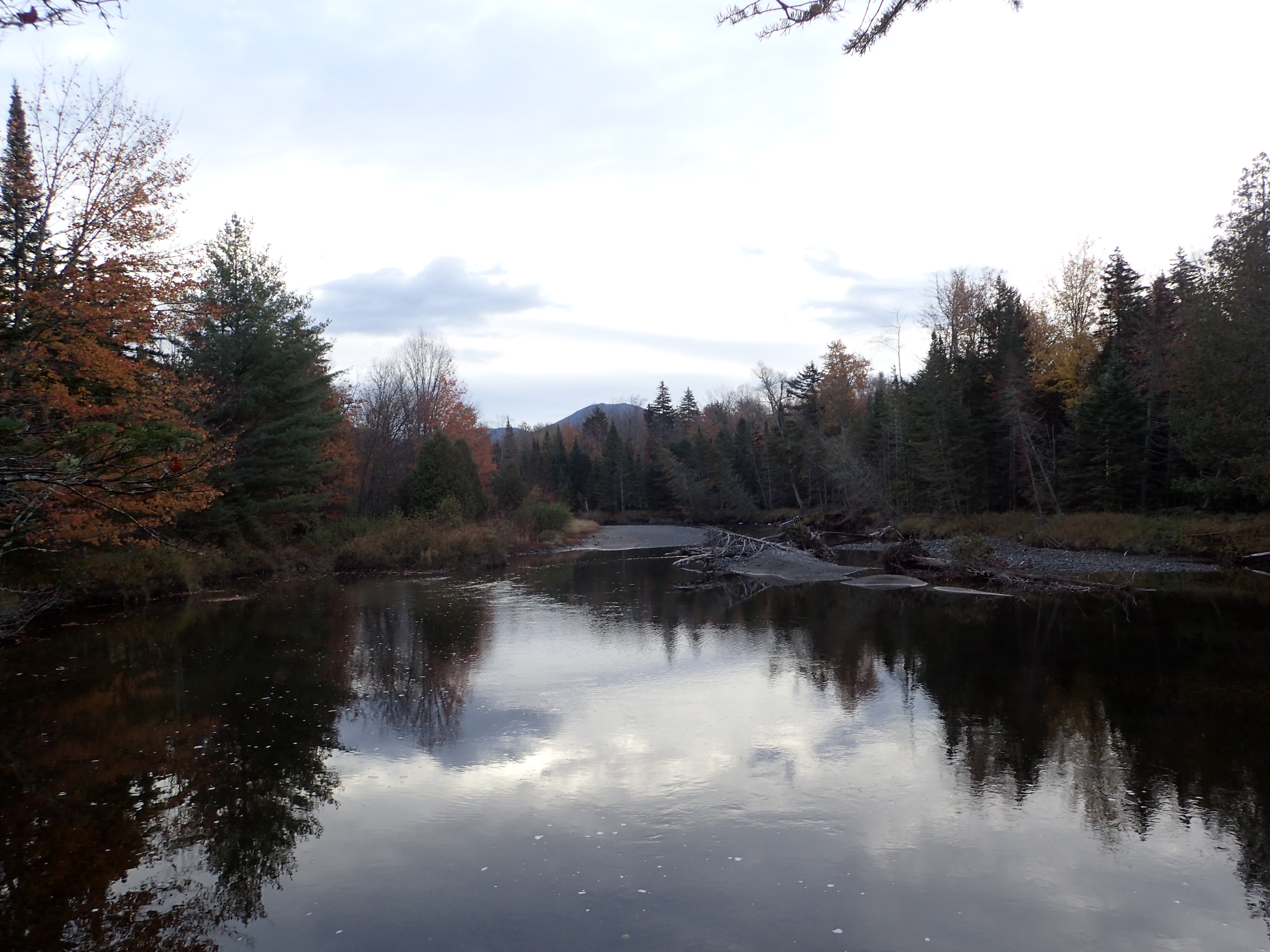
After getting back on the correct trail we made quick work of the walk back without any further detours. We also got to enjoy one more chilly walk through the Opalescent which was slightly more pleasant at this point as the air temperature had warmed up as the sun made an appearance. On the way back out as we neared the Mt Adams junction I noticed a beautiful lake off the side of the trail which I had failed to notice on the way in. I couldn’t find a name for this particular lake on the map which leads me to believe it used to be smaller until the beavers in the area got busy making changes.
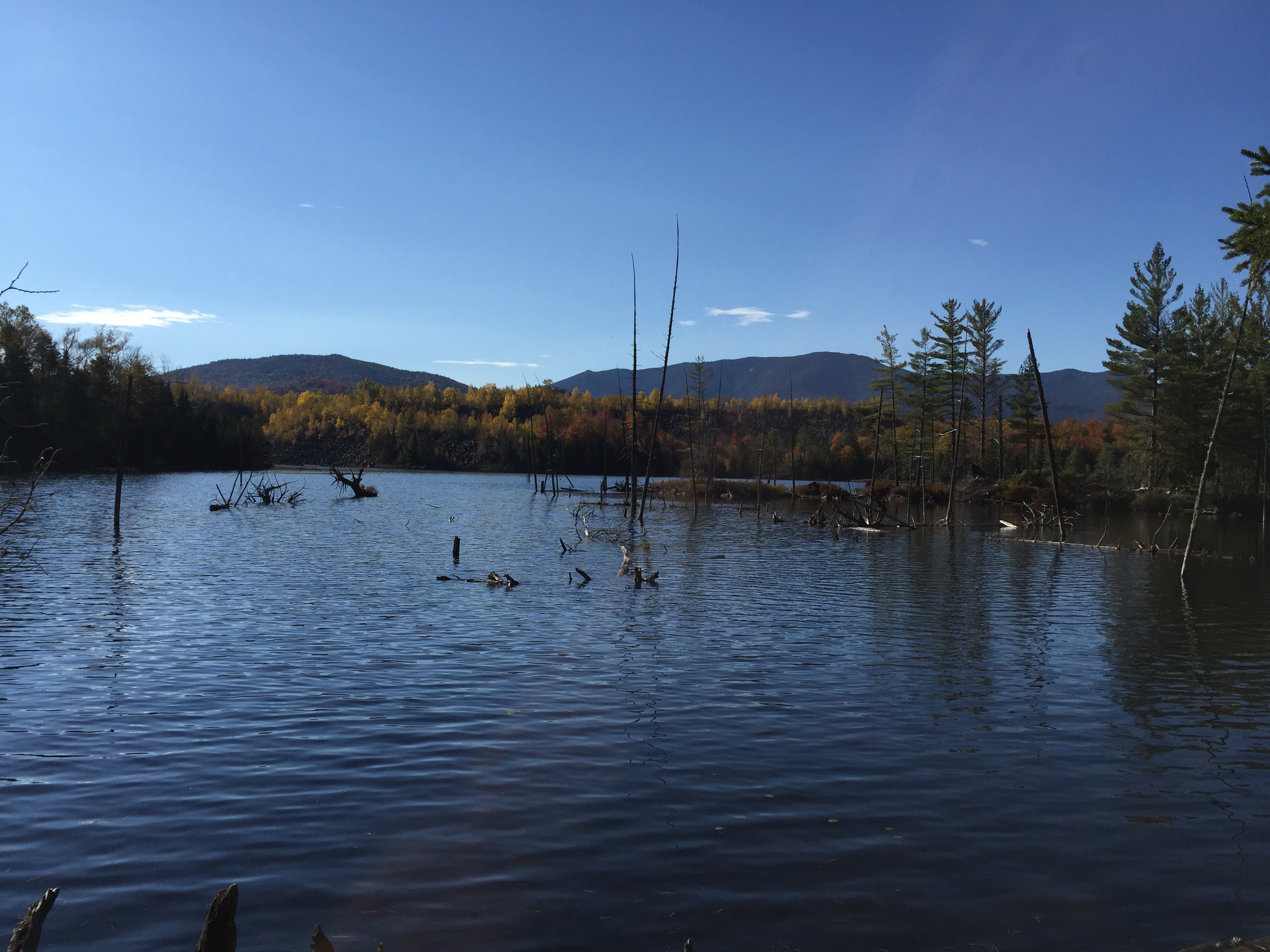
Small lake near the Mt Adams junction.
Once we reached the Mt Adams junction it was just another 15 or so minute walk back to the trail head. We reached the trailhead in almost exactly 4 hrs which made for a total of 8 hrs on the trail. If we had avoid our detour we probably would of made our way down in about 3.5 hrs.
All in all Allen was a good hike overall. It wasn’t my favorite or least favorite hike for any particular reason so I would probably just consider it an average High Peak experience despite the distance. It was also not nearly as arduous as I had built it up to be in my head based on its reputation so, I would recommend just going for it if you have been putting it off for any of those reasons.
Categories: Adirondack High Peaks Region, New York, Trip Reports


I tried to hike Allen on 10/30/15. I made it to the herd path at the second trail register and after about 15 – 20 minutes of hiking along it, I came to what appeared to be a junction. Instead of going straight, I turned right and began heading up a very muddy path which eventually had a posted sign along the side of the path. I was not certain of the proper direction so I went back to my car. Do you happen to remember seeing any posted signs?
LikeLike
Hey Tom. Do you remember what the posted sign said or have a picture of it? When you turned, had you just passed a brook or other feature?
LikeLike
I do not have a picture. I’m pretty sure it was an orange sign. I’m actually assuming that it said posted on it since I didn’t make it directly alongside of it before turning around. Before turning right onto the path with the sign, I could see Lower Twin Brook to my right. Every bit of info that I had on the hike indicated that I had to cross that brook on the herd path but I never did. It seemed like the brook just ended or turned away from the path just before I turned right.
LikeLike
Nice report – very helpful as I plan my own trip. Do you think it is allowable to camp at that trail register? is there water there? what about at the crossing of Lower Twin Brook? on the map that seems like a nice spot.
LikeLiked by 1 person
I am sure people have done it but as per DEC regulations you need to be 150 feet away from any trail, road, stream, pond etc. There are some camping opportunities around Lower Twin Brook and Skylight Brook. Although near Lower Twin Brook is usually where I see people camping.
LikeLike
Cool. That’s where I anticipated there might be good spots. Fortunately the herd path is not technically a “trail” and perhaps these abandoned roads are not “roads”. 😉
LikeLiked by 1 person
I have been told that there is an alternate approach..something about biking in on an old logging road..
any thoughts?
also wondering about the water crossing over the next two weeks, it being part of the ‘dry season’
LikeLike
Great blog posst
LikeLike