TRIP REPORT: Sunfish Pond – Worthington State Forest, NJ 5-28-16
Hiking stats at a glance:
Trailhead: Dunfield Creek Natural Area Trailhead
Miles round trip: ~8
Hike Highlights: Sunfish Pond, Dunfield Creek
Total Time: ~3 hrs
Of all the hikes I have done in my home state of New Jersey, the hike to Sunfish Pond is probably my favorite. It is not very hard, but it is long enough to be interesting, far enough away from civilization to really feel like your somewhere else, and has plenty of beautiful spots along the way to enjoy. The weather on this particular day was hitting close to 90 even at 9am so it was a scorcher, but otherwise we had beautiful blue skies all day. It was nice to finally be able to enjoy the nice hot weather we have been having lately.
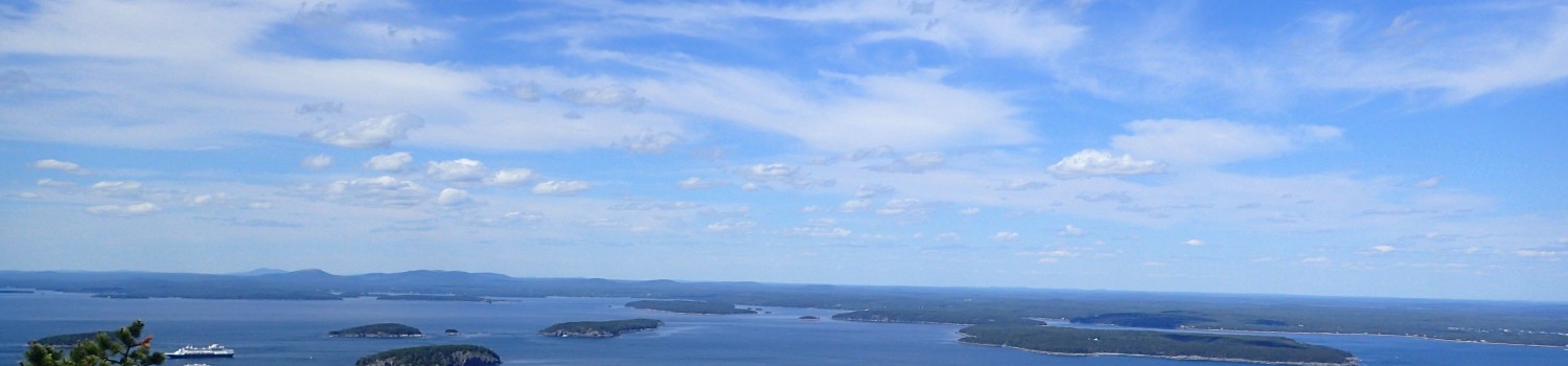
We reached the Dunfield Creek Trailhead at about 9am but the lot was already full and closed so we drove over to the opposite side of the highway along the Delaware River where there are other parking lots. We pulled into one of the small parking lots adjacent to the river and the restrooms and got the very last spot. If we had been even 2 minutes later we would have missed it!

View of the parking lot along the river.
We gathered up our things making sure to take extra water along due to the heat and then worked our way back under the overpass towards the trailhead. On the busy summer weekends there is usually an attendant here along with a NJ Park Police officer so I wouldn’t try to sneak into the parking lot if they have it closed because all it will earn you is a nice hefty ticket.

View of the parking lot at the Dunfield Creek Trailhead.
The trail for Sunfish Pond and the Appalachian Trail start at the end of the lot just behind to the porta-potty. At the trailhead are also maps of Worthington State Forest for your convenience.

Start of the trail.
The trail starts on flat ground and has a large wooden bridge in place to cross Dunfield Creek. From what I hear there are also people who come here to go fly fishing during certain times of year.

Start of the trail along Dunfield Creek.

View of the bridge over Dunfield Creek.
Once we got to the other side of the creek the trail continued along starting to go slowly uphill. A large sign explaining the areas camping rules marks the correct path. The sign states that camping is for Appalachian Trail through hikers only and is limited to one night in the park. Although in the few times I have been up here I think I have only ever seen one person camping in the area, but we did see quite a few people going up with camping gear for the weekend so I’m sure it is quite popular at some times.

Start of the trail and camping regulations.
The trail starts easily enough on a wide and thoroughly worn trail that is slightly muddy in spots but otherwise in good shape.

Start of the trail going upwards.
The hike overall doesn’t have a ton of elevation gain and it moves at a gradual pace so the hike is doable for just about anyone really. Before too long we reached the junction for the Appalachian Trail and the Dunfield Creek Trail. We took a left and continued down the Appalachian Trail heading towards Sunfish Pond. The Dunfield Creek Trail (Blue Trail) is often used primarily as a descent route off Mt. Tamany and near the junction is a small waterfall in the creek and even a nice swimming hole. Many people hike up to this point just to enjoy hanging out in the water although I believe the park regulations do say no swimming is allowed.

Junction of the Appalachian Trail on the left and Dunfield Creek (Blue Trail) on the right.

Sign at the junction marking the way.

View of the creek from the junction.
After the junction the trail began to climb a bit more steeply as we worked our way up to the top of the ridge along the side of the creek. The trail gets a bit rocky along the way but it is pretty comparable to other trails in the area and northeast in general. We kept a steady pace and were making good time on our way up despite the heat.

View of the trail after the junction.
The area surrounding the trail the entire way up was also so lush and green that it made for a really nice experience. It is a nice change of pace from all the hiking we have been doing all winter and early spring.

Everything was lush and green all day long.
After winding our way upwards for a little while we reached a small clearing which marked the junction with the Holly Springs Trail. We kept walking straight ahead and stayed on the Appalachian Trail heading for Sunfish Pond. This spot also marks roughly the halfway point of the hike.

Junction with the Holly Springs Trail

Start of the Holly Springs Trail to hikers right.
After this junction the trail starts to get a lot more rocky but still not too bad. If you are running the trail it is usually no problem to go pretty fast up to this point but after a while the trail gets even more rocky and can be pretty hard to maintain any kind of real speed.

Trail as it starts to get rockier.
Once you get past the rocky section of trail things level off a bit approaching the next trail junction.

Approaching the next trail junction.
The next trail junction is with the Douglas Trail which runs to your left down the hill and towards the Delaware River. We kept heading straight towards the pond which was just one last short hilly section of trail away.

Trail junction with the Douglas Trail.
The last section of trail before the pond is just a slightly rolling hill along the top of the ridge. The top of the ridge also had some stands of dead trees that look to have been damaged in a fire at some point. We covered this last stretch of trail quickly and found ourselves at the Sunfish Pond in no time. The pond is marked by a small sign and also a monument commemorating its place as a Registered Natural Landmark.

Sign describing the Sunfish Pond Natural Area.

Plaque marking Sunfish pond as a Registered Natural Landmark

First glimpse of the pond from the trail.
We walked a bit further along the trail to the left of the pond in order to get better views. Along the trail by the pond we also saw quite a few snakes, both a rattlesnake on the trail and several other snakes in the water which was pretty neat. The whole park was actually full of a lot of wildlife which was nice to see but reptiles definitely seemed to be the most common thing we saw.

Trail leading around the pond to the left.

Rattlesnake just off the side of the trail.

Can you spot the snake?
The Appalachian Trail continues from here as it weaves its way north through the rest of Worthington State Forest and on to Stokes State Forest but we only stayed in the area of the pond for a little while to enjoy the great view before heading back the way we came.

View of Sunfish Pond from the side of the trail.
The way back was pretty uneventful and we made quick time overall. However, on the way back we did catch something we missed on the way up which was the large cairn garden off the trail in a small clearing in the woods. I don’t know why it’s there or how it got started but it was pretty neat to find.

Cairn Garden off the trail.
Once we got back close to Dunfield Creek we found a short trail running down the hill towards the location of the swimming hole. Since it had been so hot all day we figured this would be a great spot to stop for lunch and cool off a bit.

Trail leading down to Dunfield Creek.

Trail leading along the creek.
We kicked off our shoes and cooled off our feet in the water before sitting down on the rocks to enjoy our lunch. There were a few people around but the sound of the flowing water drowned out most of the noise so it was really still very peaceful. We even had a friend visit for lunch.

A small friend that joined us for lunch.

View of our nice lunch spot.
We stayed and enjoyed the peaceful resting spot for a while before reluctantly getting our shoes back on and heading back towards the trailhead.

View of the trail heading back to the trailhead.
The trail from here on out was mostly flat albeit muddy in spots but we had no trouble and made it back to the trailhead in short order.

View of the trail leading back towards the trailhead.
The hike overall was not very difficult but it did pack plenty of highlights for the amount of effort we put into it. I have been up this trail several times but I always enjoy each time as much as the last. If you are in the area I would highly recommend checking it out! Also if you are hiking the Appalachian Trail and think the section through New Jersey is going to be awful and boring I think you will be pleasantly surprised by what the trails in the state have to offer!
Categories: New Jersey, Trip Reports

