TRIP REPORT: Ramapo Torne / Seven Hills Loop via Reeves Meadow – Harriman State Park, NY 9-10-16
Hiking stats at a glance:
Trailhead: Reeves Meadow Visitor Center
Miles Round Trip: 6.55
Elevation Gain: ~1019
Total Time: 2.5 hours
Weather: ~90 Degrees with approximately 1,000,000 % humidity
I happened to have a free Saturday afternoon so I thought it would be a good day to head over to Harriman State Park and explore another hike in the area that came highly recommended from my good friend Stav. Originally I had planned to do the loop including the Hillburn-Torne-Sebago Trail (Orange) including the “Russian Bear” but I actually ended up walking to far down the trail and missed an intersection so I ended up doing the Seven Hills Trail (Blue) instead. I’m not entirely sure what I missed and I will be going back to check it out, but either way I think it turned out to be an awesome day. Although I will also add that I’m pretty sure I did the loop in the less desirable direction.
I started the day at the Reeves Meadow Visitor Center Trailhead which on this particular day was pretty packed but I got really lucky and found a spot right in the parking lot. I originally intended the run most of the trail so I packed super light and although I still made good time between the heat, humidity, rocky trail and stopping to take pictures for the blog I didn’t run nearly as much as I intended. From the parking lot I started down the Pine Meadow (Red) trail towards the “Cascade of Slid” which is a small waterfall along the brook.
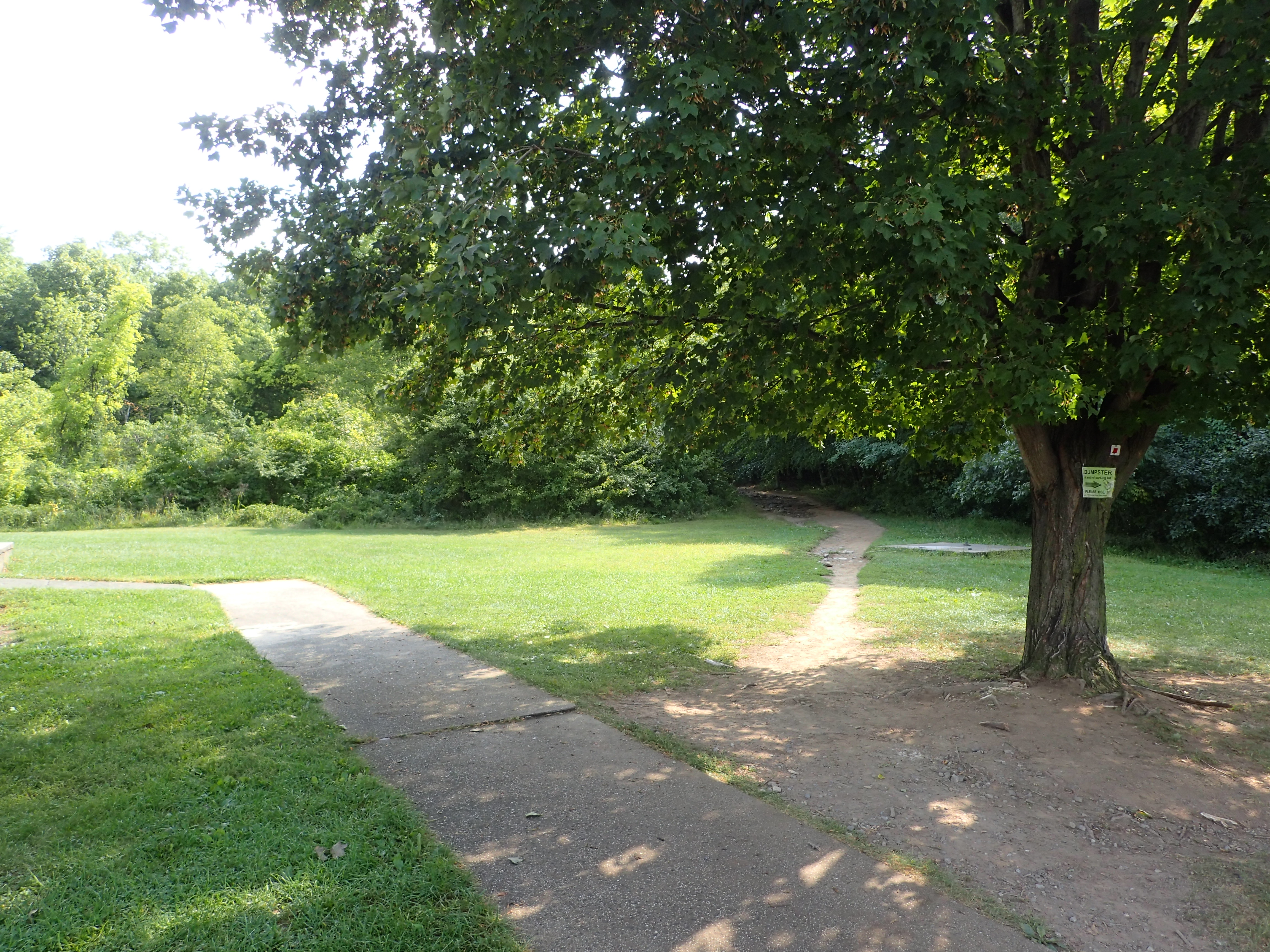
Start of the trail from the Visitor Center
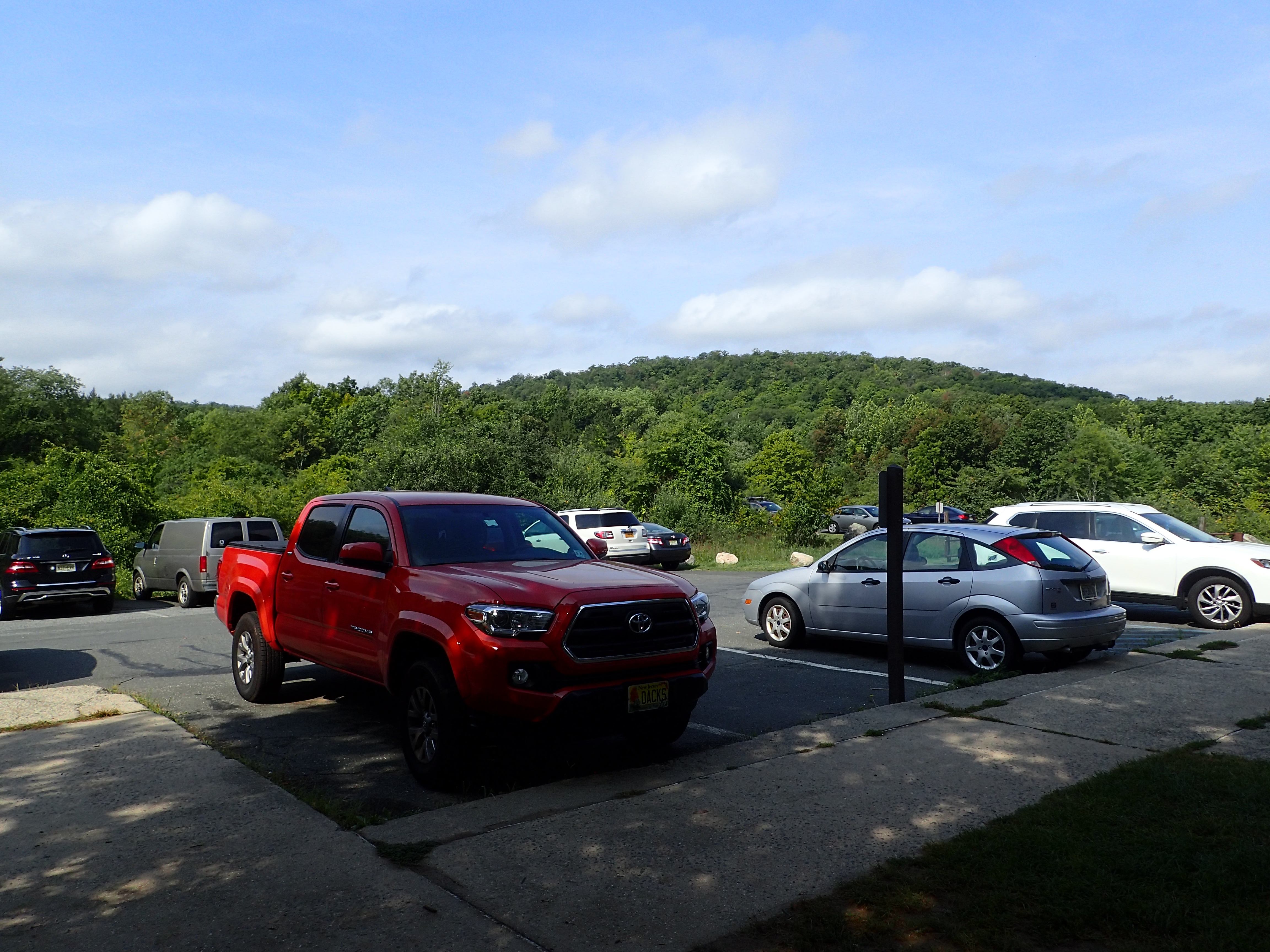
View of the parking lot.
The Red marked trail started off following Stony Brook and was a well worn and rocky trail right from the start of the hike. On this particular day the rocks were also pretty damp and slippery overall which made things interesting as well.
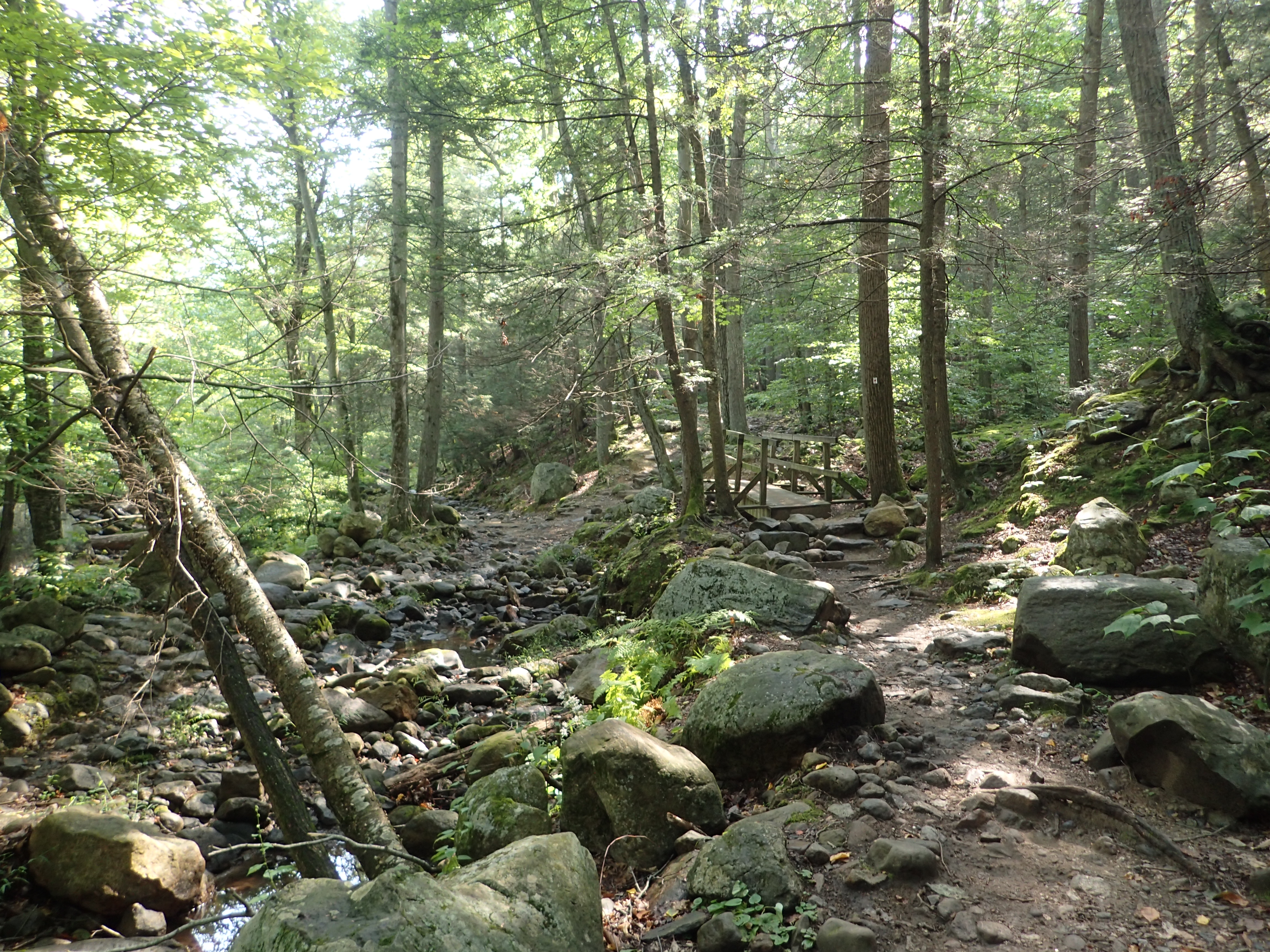
Start of the Red marked trail along Stony Brook.
The start of the trail was mostly flat with only a slight incline as you worked your way up towards the Cascade. Before too long I reached the first of many junctions which was with the Yellow marked trail. I stayed to my right and continued along the Red marked trail.
First junction with the Yellow marked trail.
After passing this junction the grade increased slightly as the trail worked its way up the hill. There were a fair number of people out on this particular day despite the heat but overall everyone was pretty spaced out so the day never felt particularly crowded which was nice. What I have learned from my few hikes in Harriman is that the further away you get from the parking lots and trailhead, the less people you can expect to see.
View of the Red marked trail as you make your way up towards the Cascade.
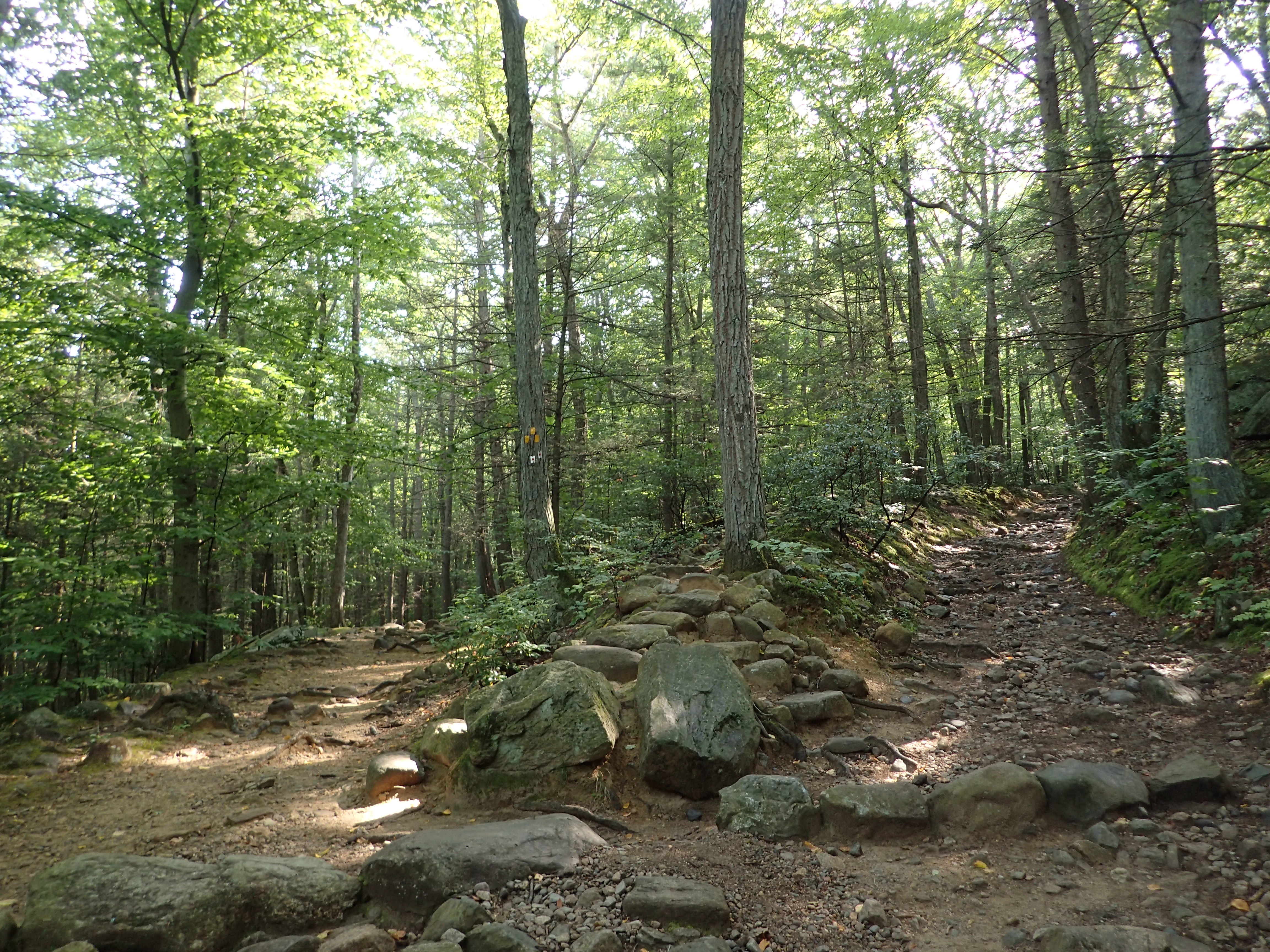
As I made my way upwards I figured the Cascade would be an obvious stop but I actually never noticed it and honestly I forgotten to even look so I actually missed it entirely. So before too long I actually reached the start of the Orange marked trail having walked right past the Cascade of Slid.
Start of the Orange marked trail.
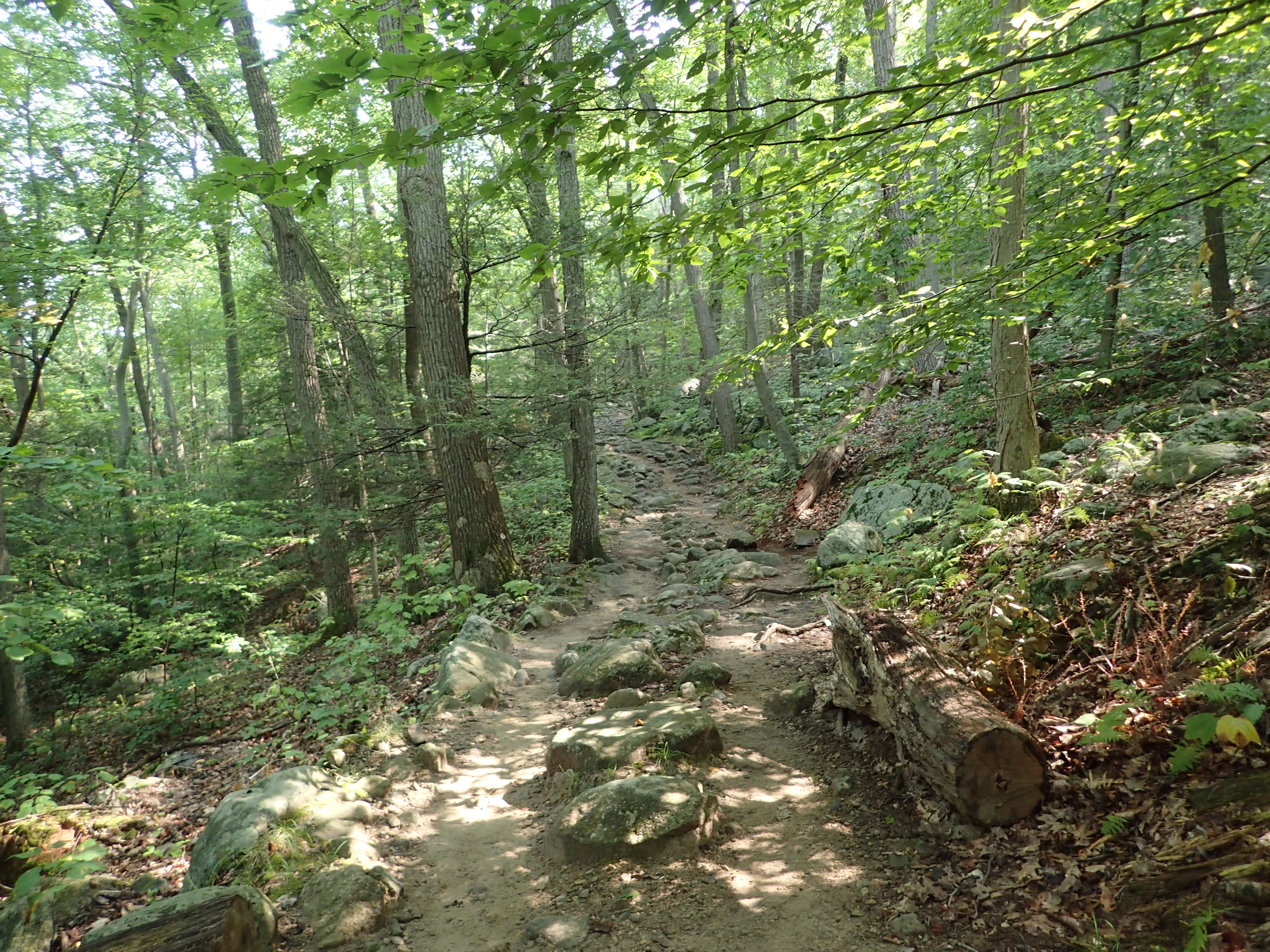
Once I reached the junction I hung a right up the Orange marked trail and from here the trail got considerably steeper as it cut a path straight up the side of the hill. Despite the steepness I still made quick progress as I worked my way up to the towards the top of the hill. There were no major obstacles to negotiate and the trail was well worn and marked so it was easy to follow through this section.

View of the Orange trail as it ascended the hill.
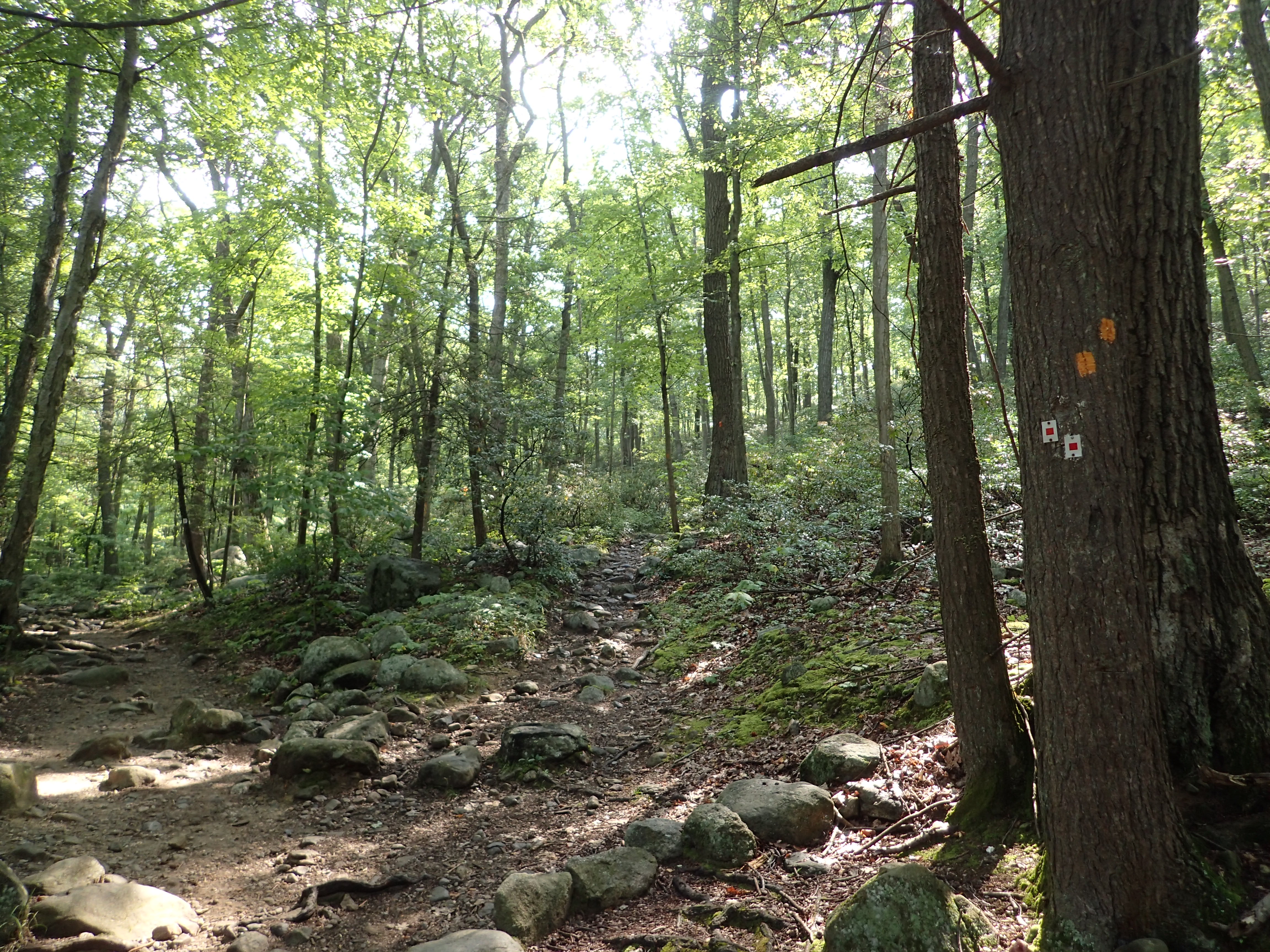
Near the top of the hill the trail climbed out of the woods and opened up as I approached the junction of the Orange and Blue marked trails.
Junction of the Blue and Orange trails near the top of the hill.
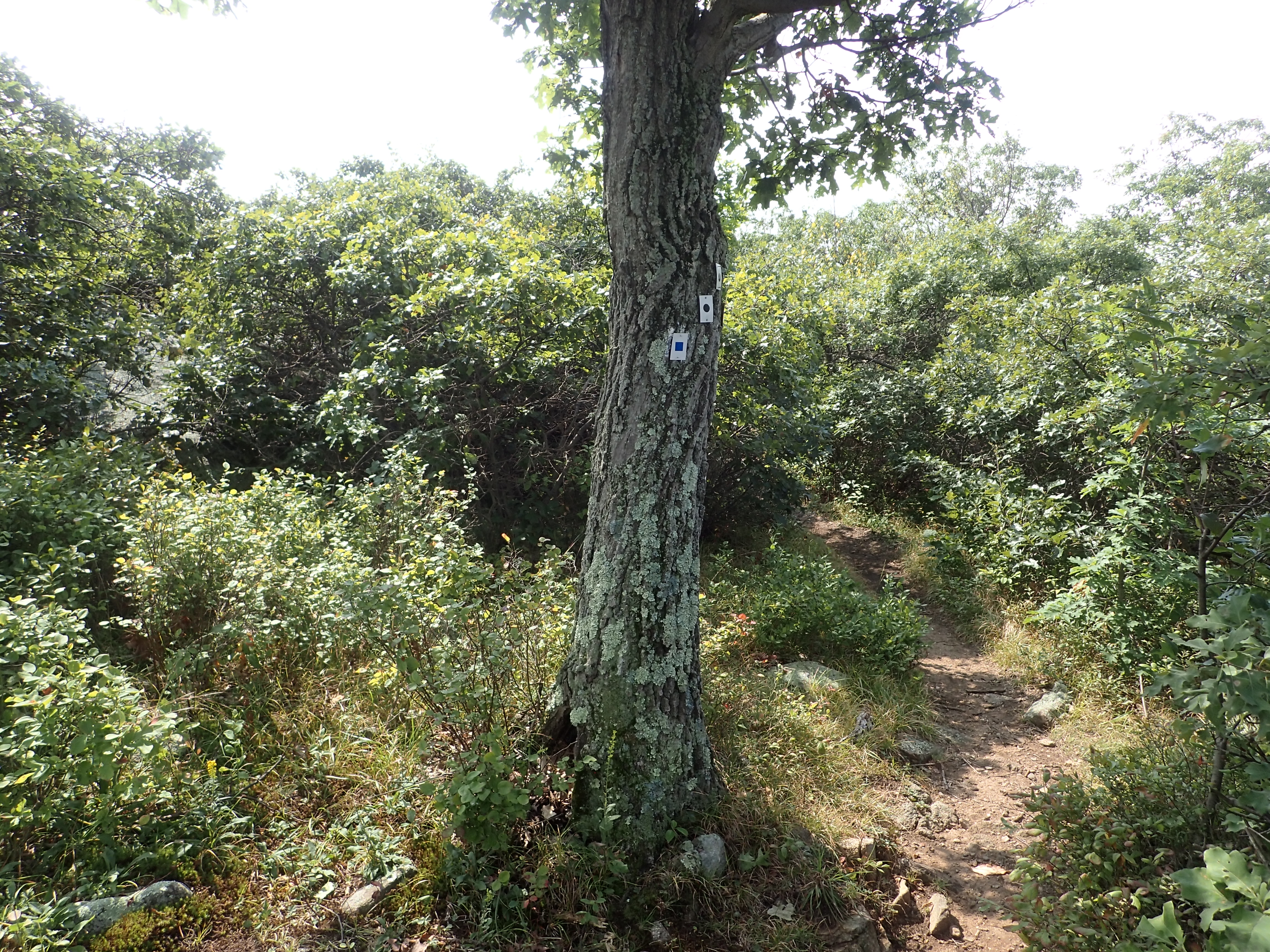
From here I hung another right and continued down the Orange marked trail. Here the vegetation was pretty thick and the trail was so narrow that it was very easy to follow. Although there was a good amount of honey bees and other insects hanging out on all the flowers that I had to be careful not to run them all over. Somehow I even manged to spot a really cool mantis that was nice enough to pose and smile for a photo.
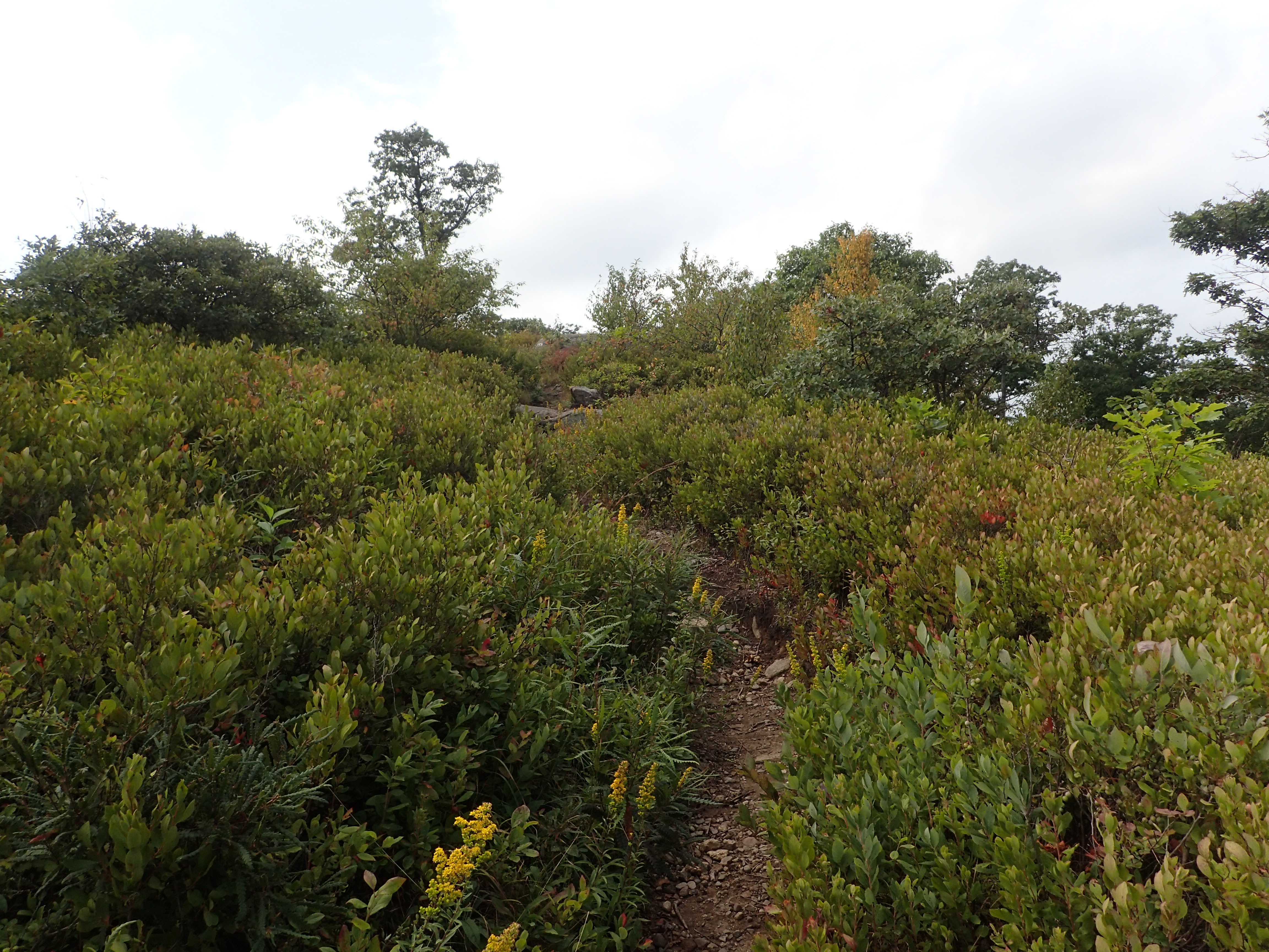
View of the start of the trail on top of the hill.

Still not sure how I managed to spot him!
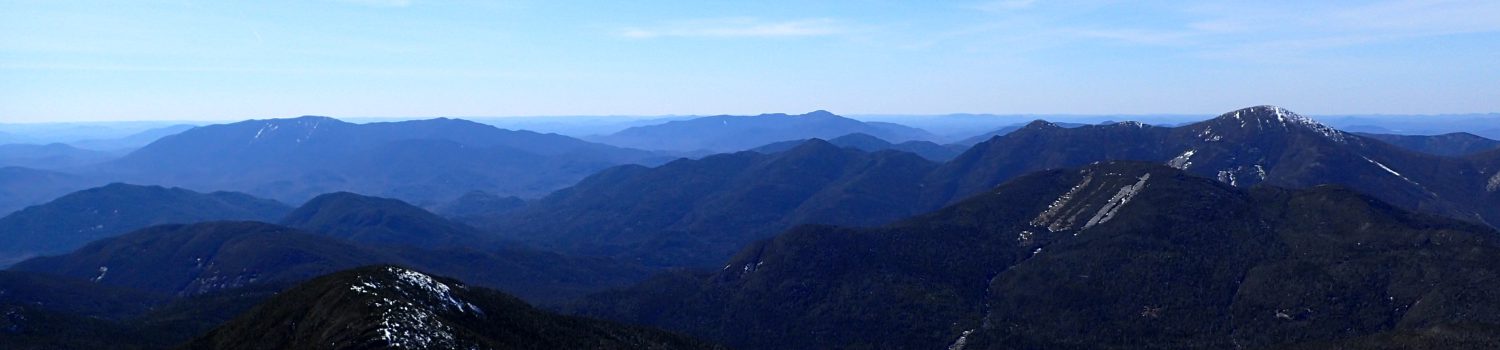
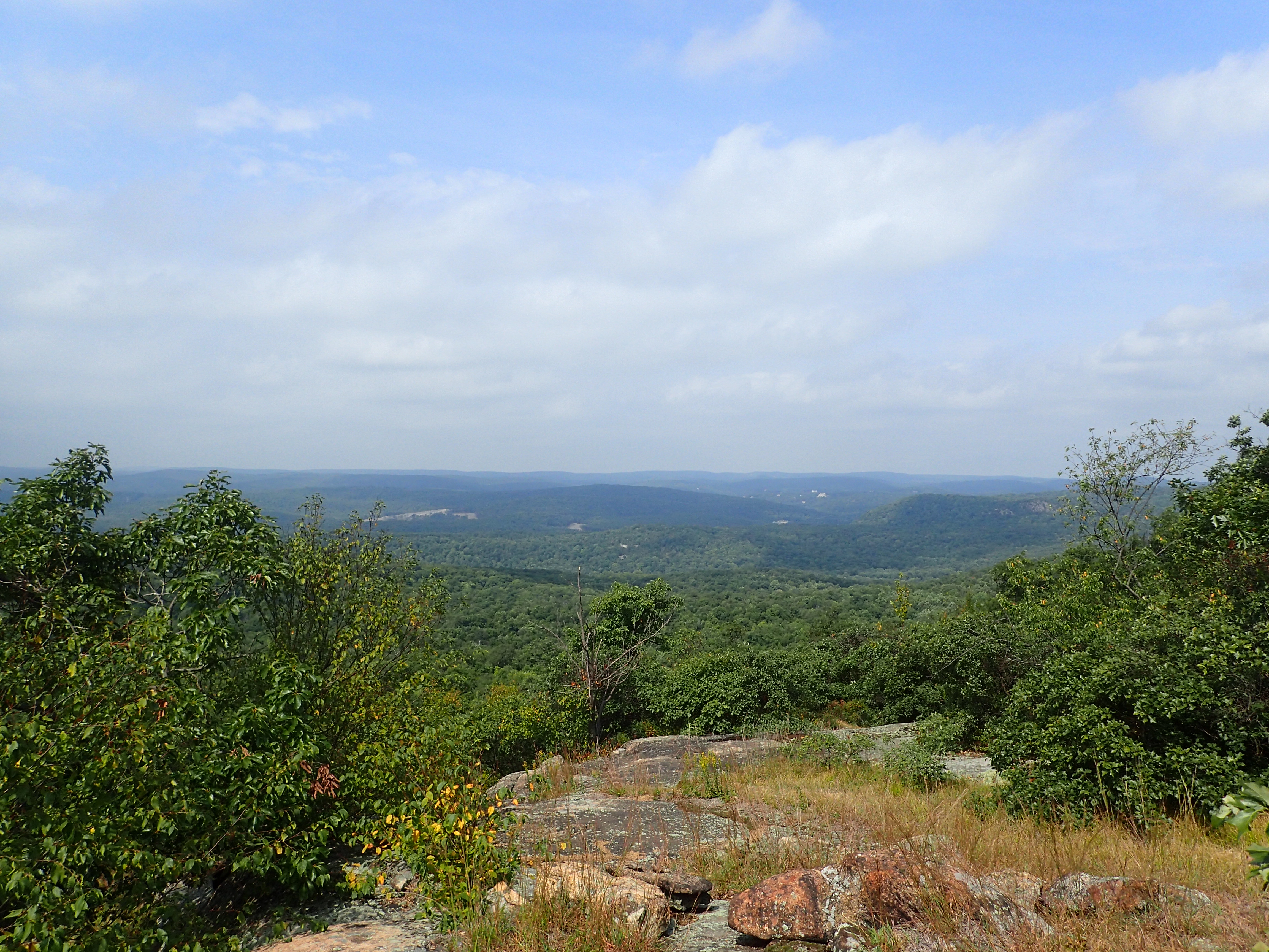
The trail continued on top of the hill and offered great views of the surrounding park. The Seven Hills trail wasn’t particularly challenging but the views were some of the best I have seen in Harriman which made for a really nice day. The slight breeze I got on top of the hill was also a very nice change of pace from the oppressive heat.

Looking out from the Seven Hills trail.
Before too long I reached the end of the traverse along the hills and a large slab where other people were hanging out to enjoy the views. From here the trail dropped steeply back down into the valley on its way towards the Ramapo Torne.

View of the trail before it dropped back into the woods at the end of the traverse.
I didn’t linger too long on top of the hill before dropping back down into the woods. The trail descended fairly steeply on loose rocky ground but the trail was still well worn and easy to follow.
View of the trail as it dropped back into the woods.
View of the trail as you enter back into the woods.
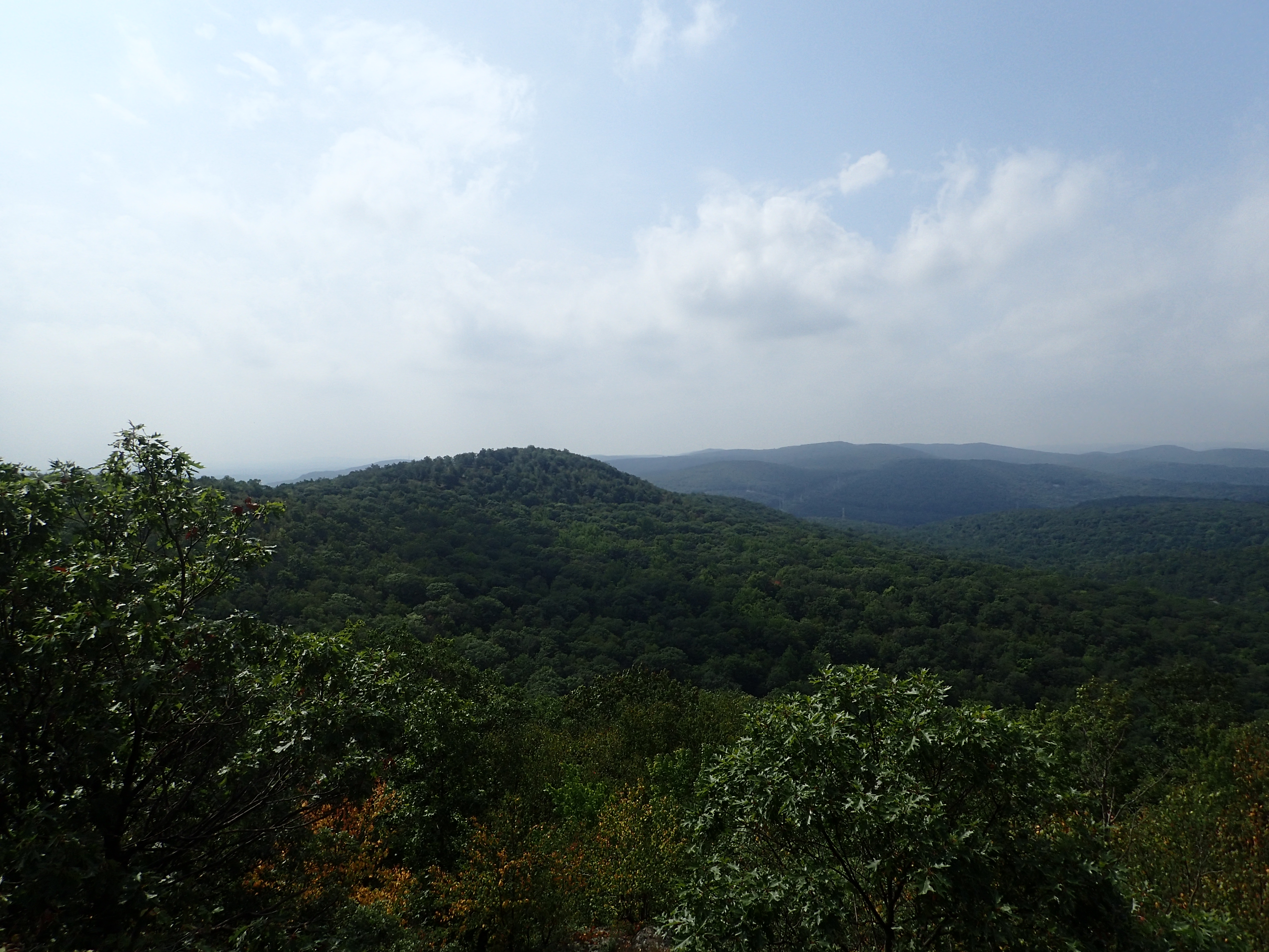
Even though the trail was more wooded through this section it followed along the edge of some cliffs on the side of the hill so you were still able to get some nice obstructed views along the trail at various overlooks.
View along the trail.

More views!
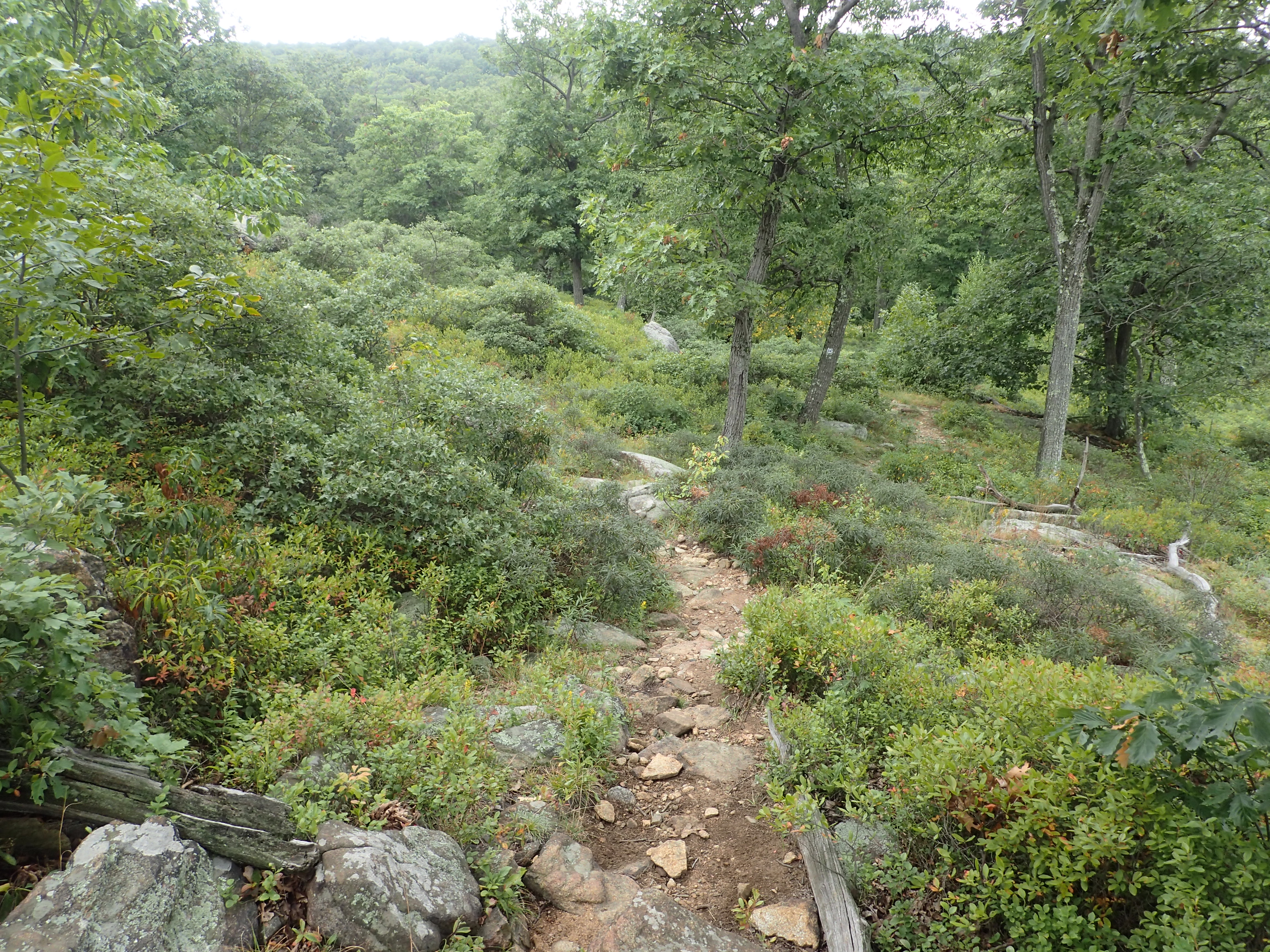
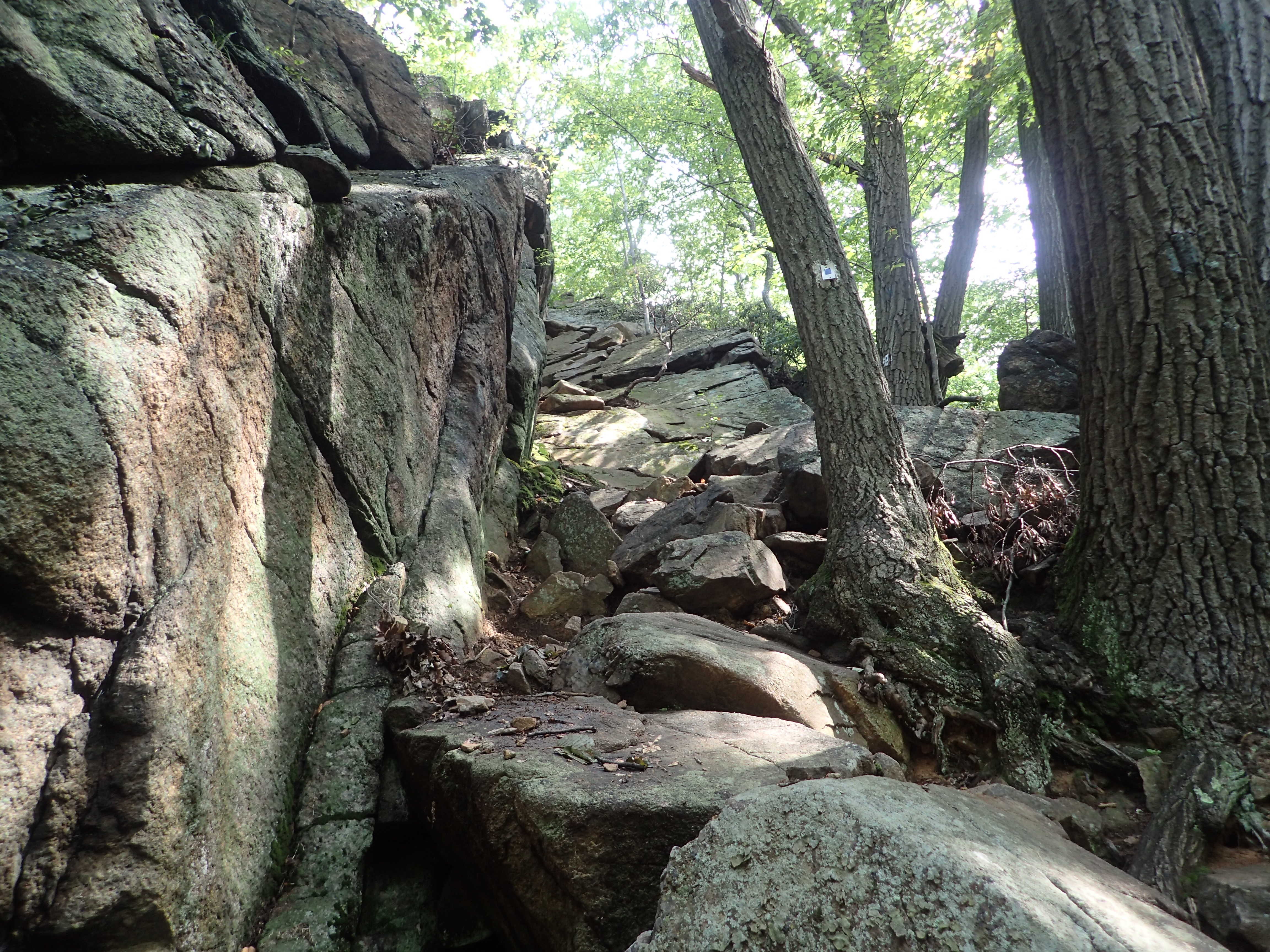
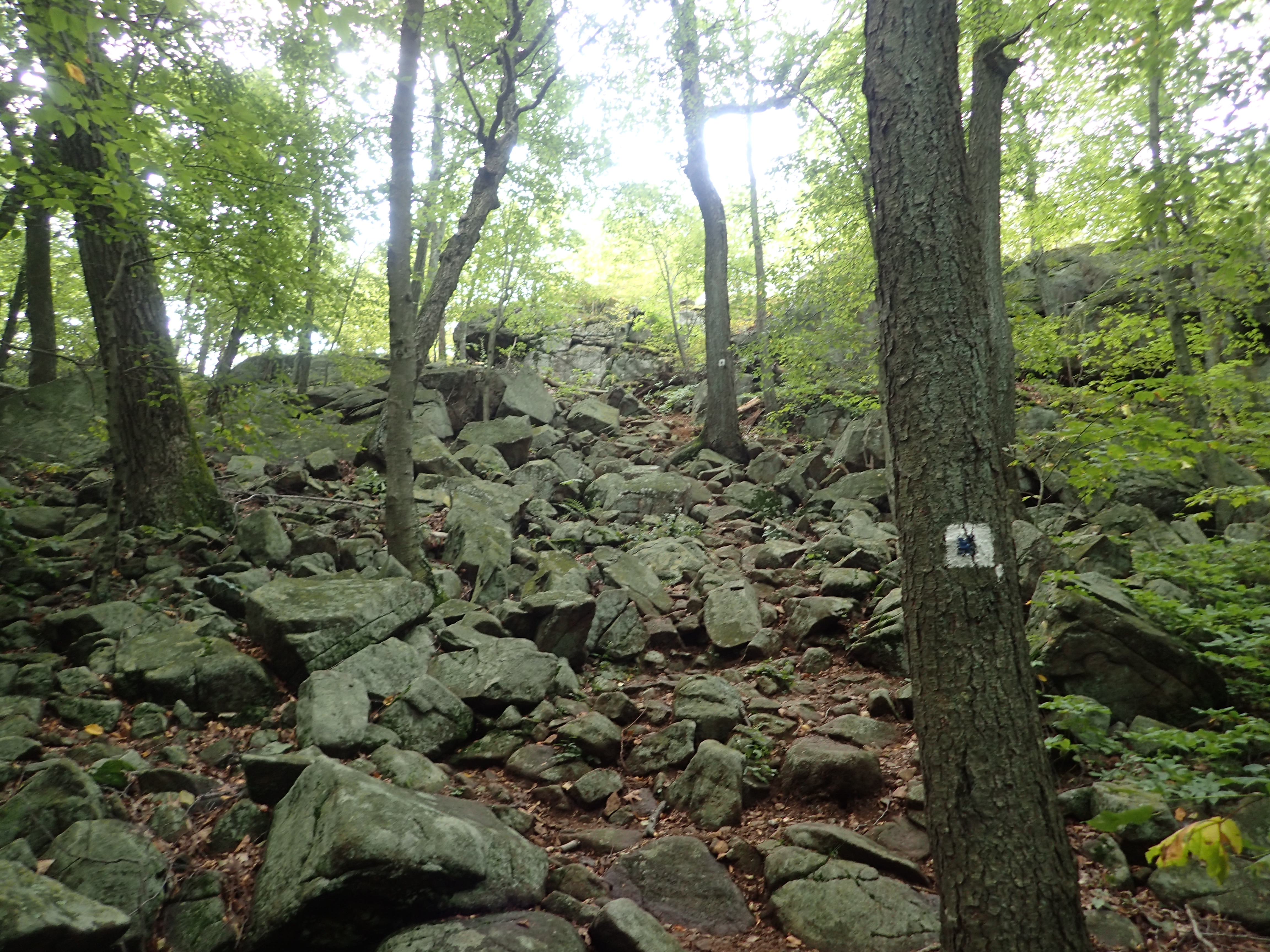
After passing these other overlooks the trail got considerably rockier and there was some easy scrambling along the way.

Some rocky sections along the trail.
Before dropping into the woods again there was one more rocky section which descended down the side of a small cliff between the overlooks as you headed toward the “Torne View” point of interest. There are multiple ways to navigate this section but I opted for heading down the steeper section just to add some more fun to the hike. However, this is also why I think I did this particular hike in the wrong direction. I think it would have been more fun to ascend rather than descend this particular section.

Looking down the steep section.
Looking back up the small gully.
Once I navigated the descent down the short gully I was back in the woods and reached another intersection. Right after navigating this section is the junction for the White marked trail and the Blue marked trail. I decided to stay my course and headed straight ahead down the Blue marked trail towards the “Torne View” overlook.
View of the intersection with the White marked trail.
From here the trail was fairly easy as it worked its way up a smaller hill towards the “Torne View”.
View of the trail on the way to the “Torne View”
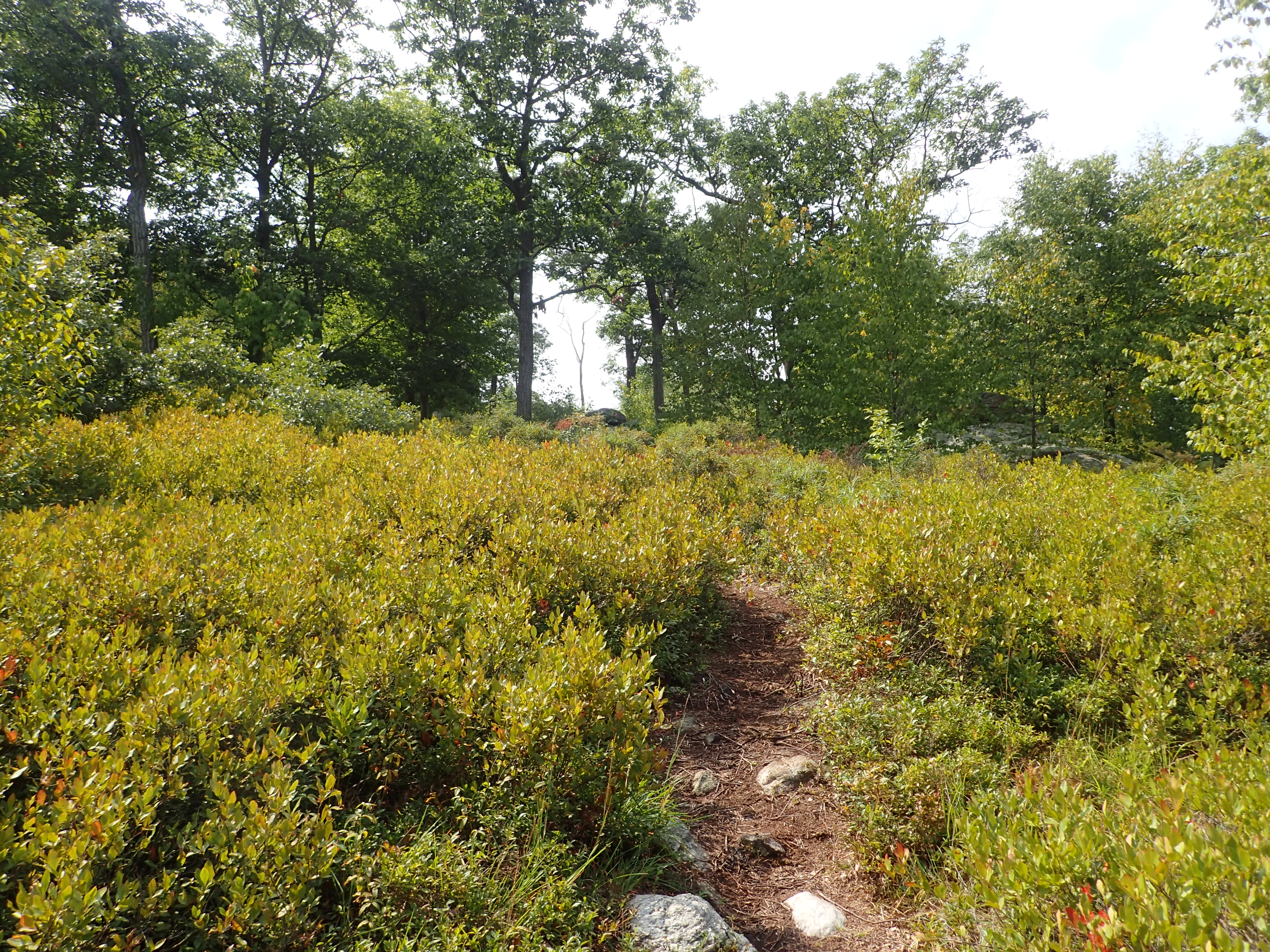
However, in some place the trail was very overgrown.

Overgrown section of trail.
After another short section of trail I reached another intersection with the Black marked trail. At this intersection I continued straight ahead down the Blue marked trail.
Junction with the Black marked trail.
Soon after passing the junction with the Black marked trail I reached the “Torne View” which was another nice overlook.
Looking out from the Torne View.
Looking out towards the Ramapo Torne.
From here there were a few more slabby sections to navigate as the trail descended back into the woods towards the junction of the Blue and Orange marked trails.

Looking down one of a few slabby rock sections.
Before reaching the junction with the Orange and Blue trails there was one more steep rocky hill to climb.
Last rocky hill before reaching the Orange and Blue trail junction.
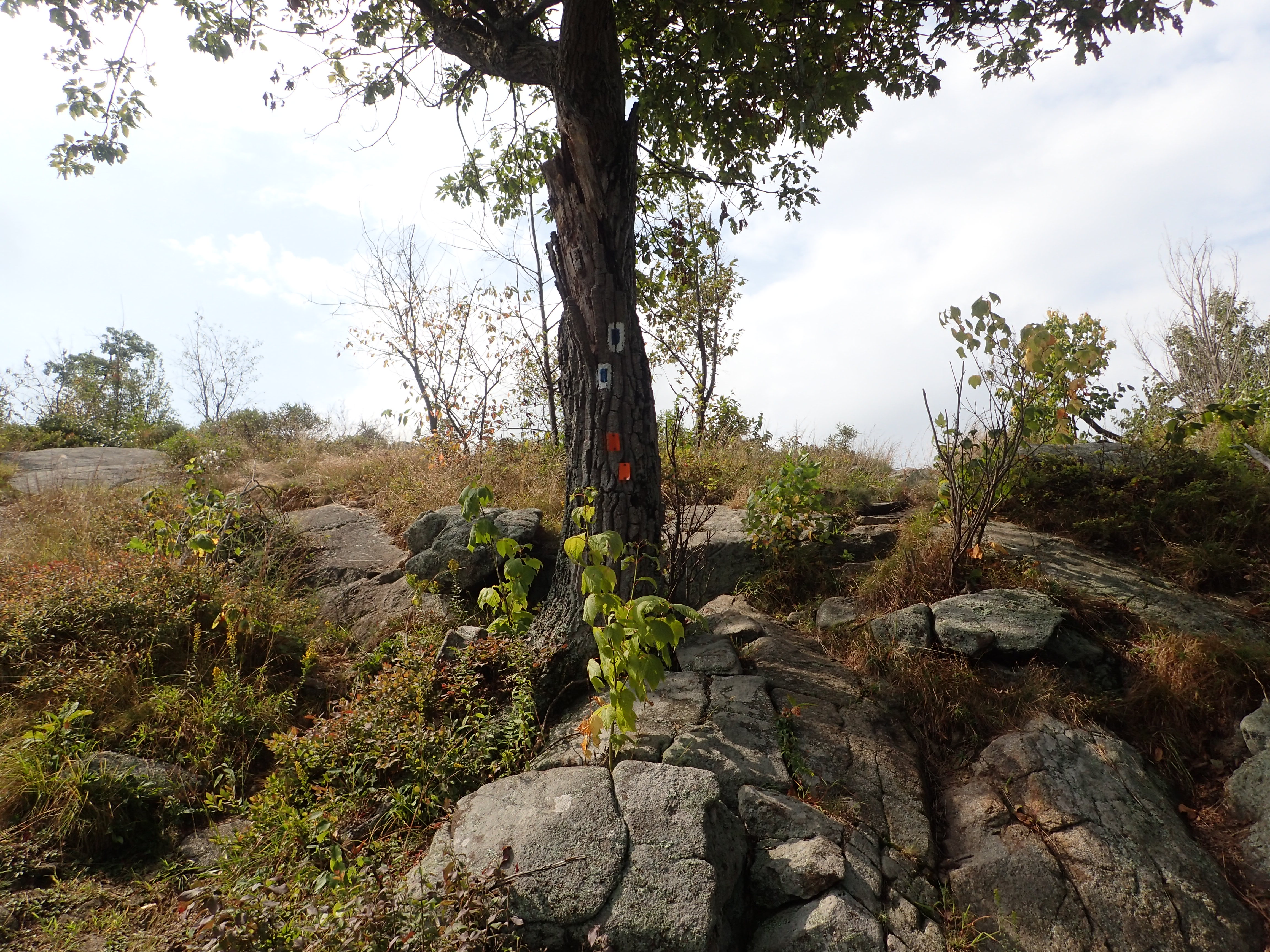
Once on top of the hill I reached the junction of the Orange and Blue trails and stayed to my right as I followed the trail which was marked with both Orange and Blue blazes.

Orange and Blue marked section of trail.
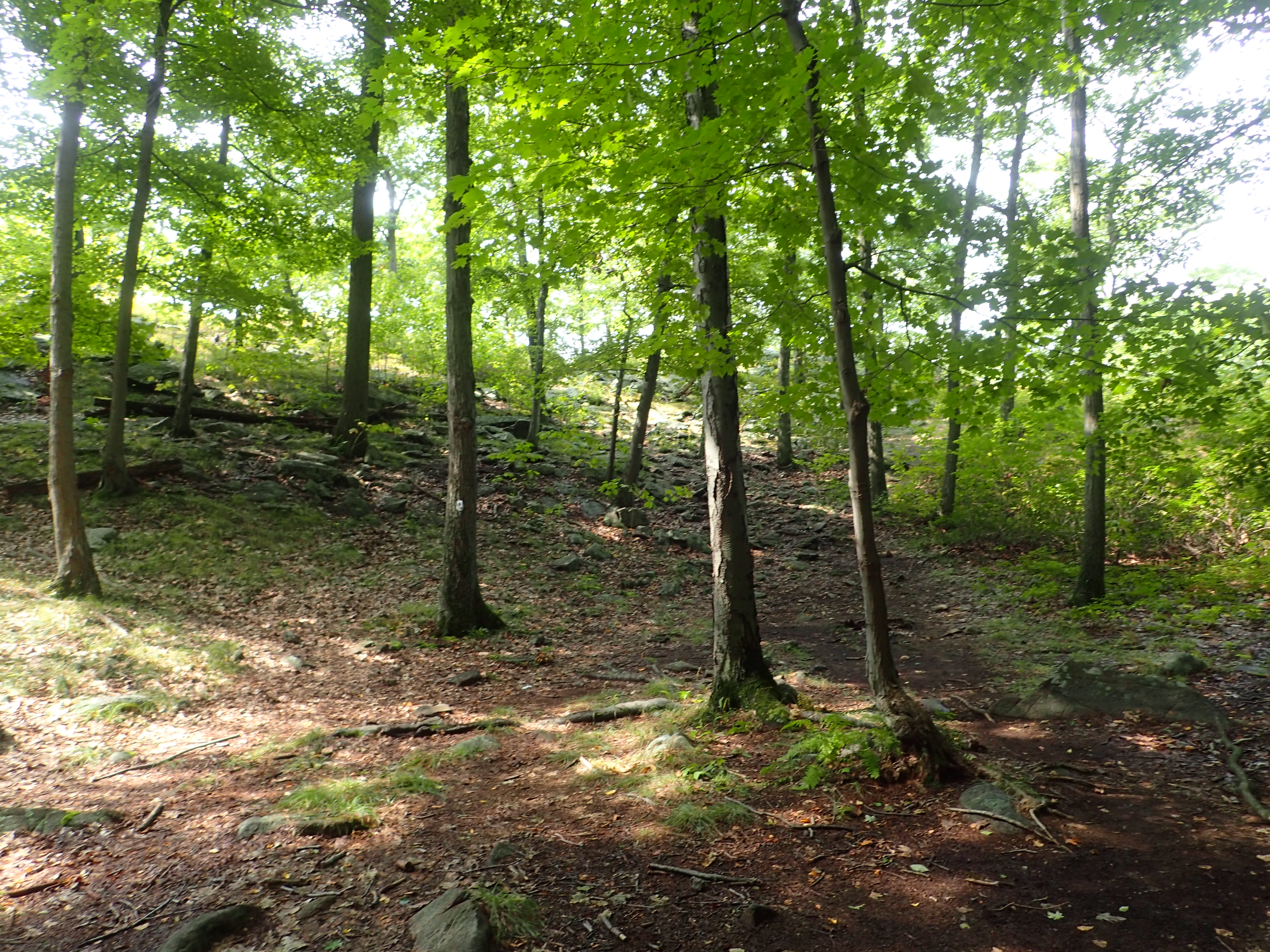
From this point the hardest parts of the hike were done and the trail through this section was much more pleasant and had far less rocks so I was able to pick up my pace a bit. I reached the junction where the Blue and Orange trails split in no time.
Junction where the Orange and Blue marked trails split.
From here I hung a left and took the Orange marked trail towards the Ramapo Torne. This section of trail was also mostly flat and it was easy to make quick time as I headed towards the Ramapo Torne overlook.

View of the Orange marked trail as you head towards the overlook.
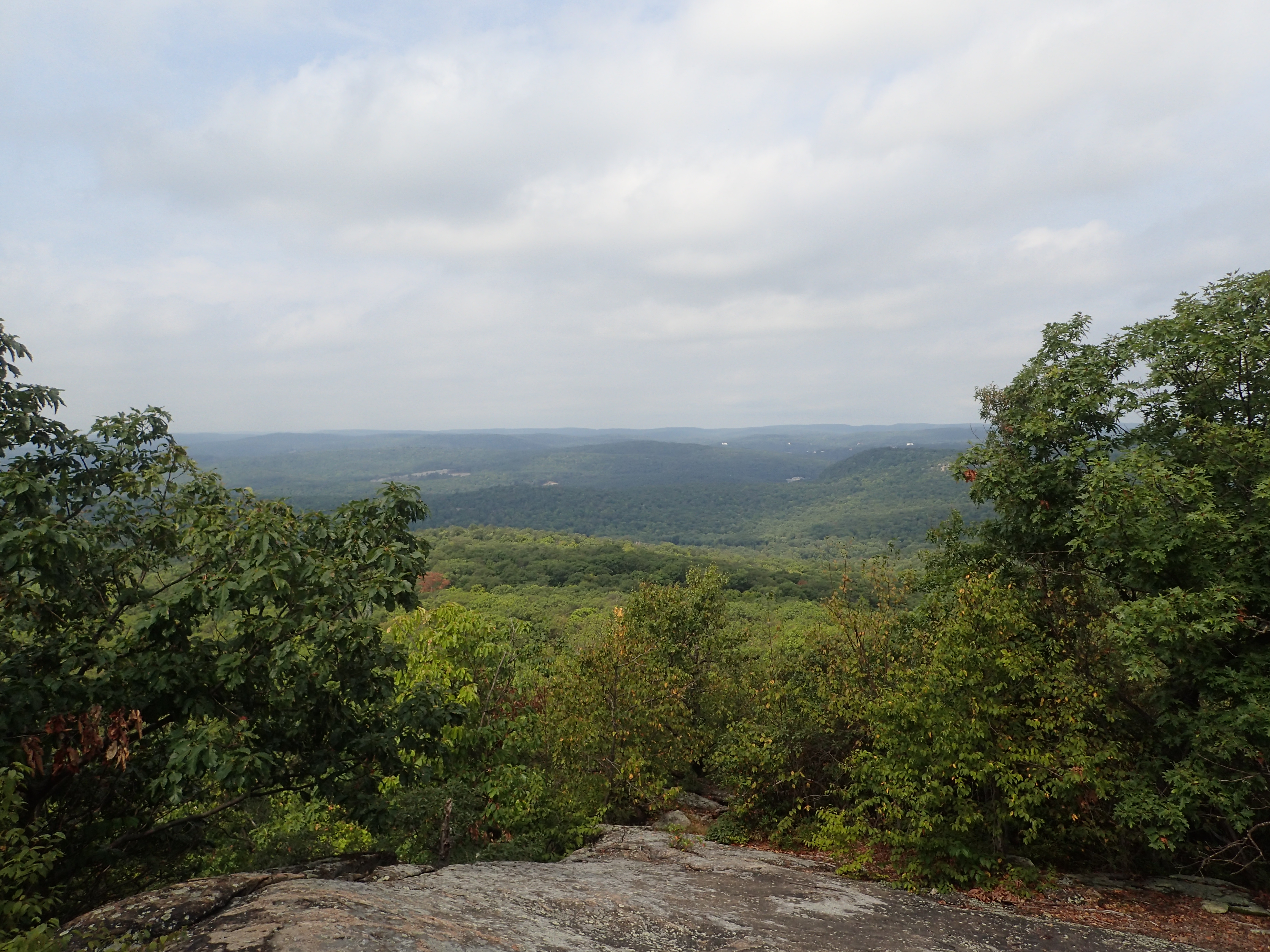
The overlook itself is a large rock outcrop which offers nice unobstructed views of the surrounding valley. Although the views aren’t free of the stamp of civilization they are still quite nice for the area. It was also at this point that it occurred to me that I had just hiked to the area that sits above the “Powerlines” rock climbing area. The overlook also had a strong breeze which was more welcome relief at this point.
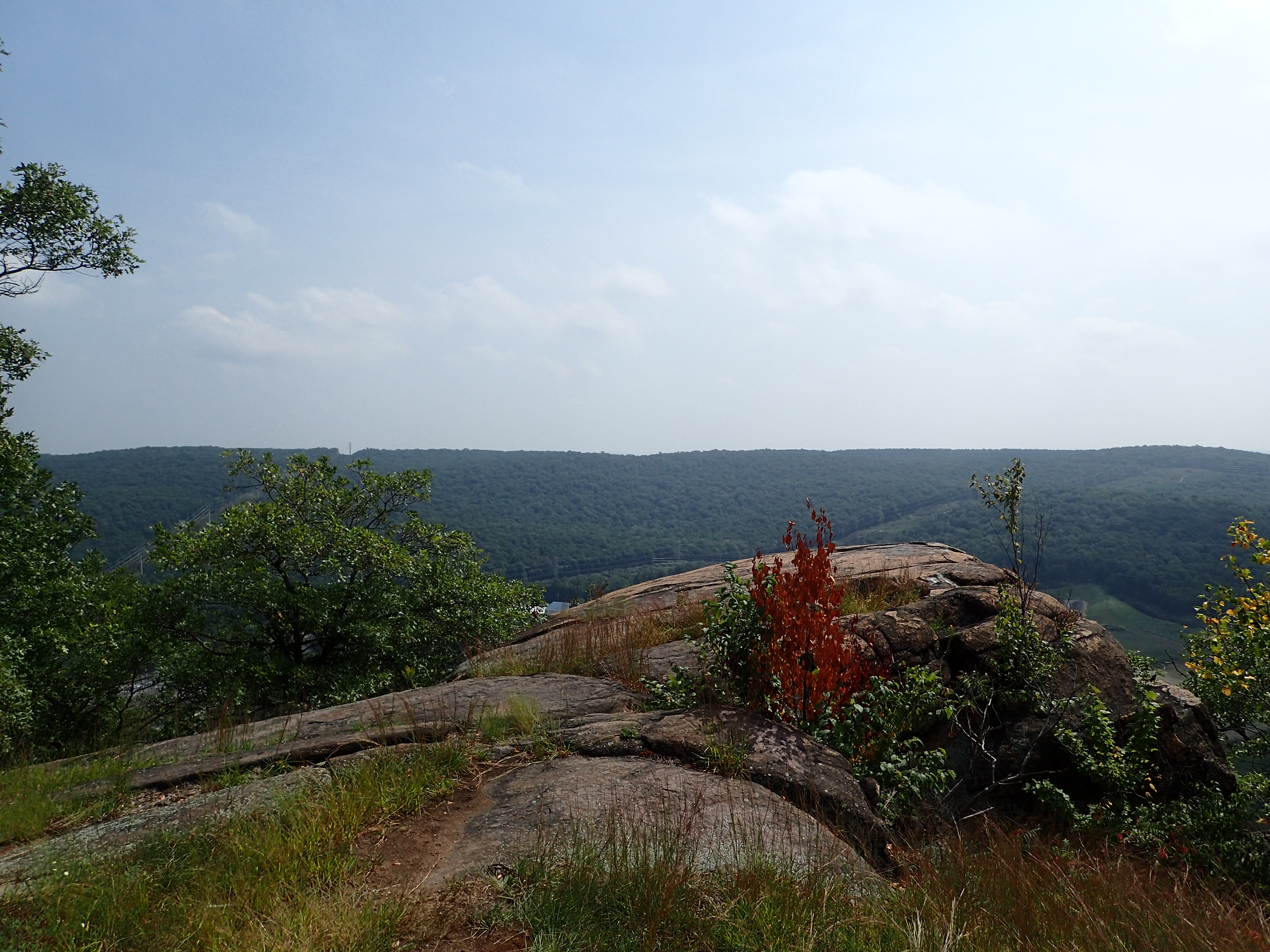
The Ramapo Torne overlook.

Looking out from the overlook.
After enjoying the view and breeze for a few minutes I made my way back the way I had come towards the junction of the Blue and Orange trail. From here I made a left and headed down the Blue marked trail back towards the parking lot.
Start of the Blue marked trail from the junction.
The trail descended fairly quickly down the hill as it made its way back towards the junction of the Orange marked trail at the base of the hill. You can actually take the Orange trail marked trail down and around the Ramapo Torne but I decided to save this for another day.

Junction of the Blue and Orange marked trails at the base of the hill.
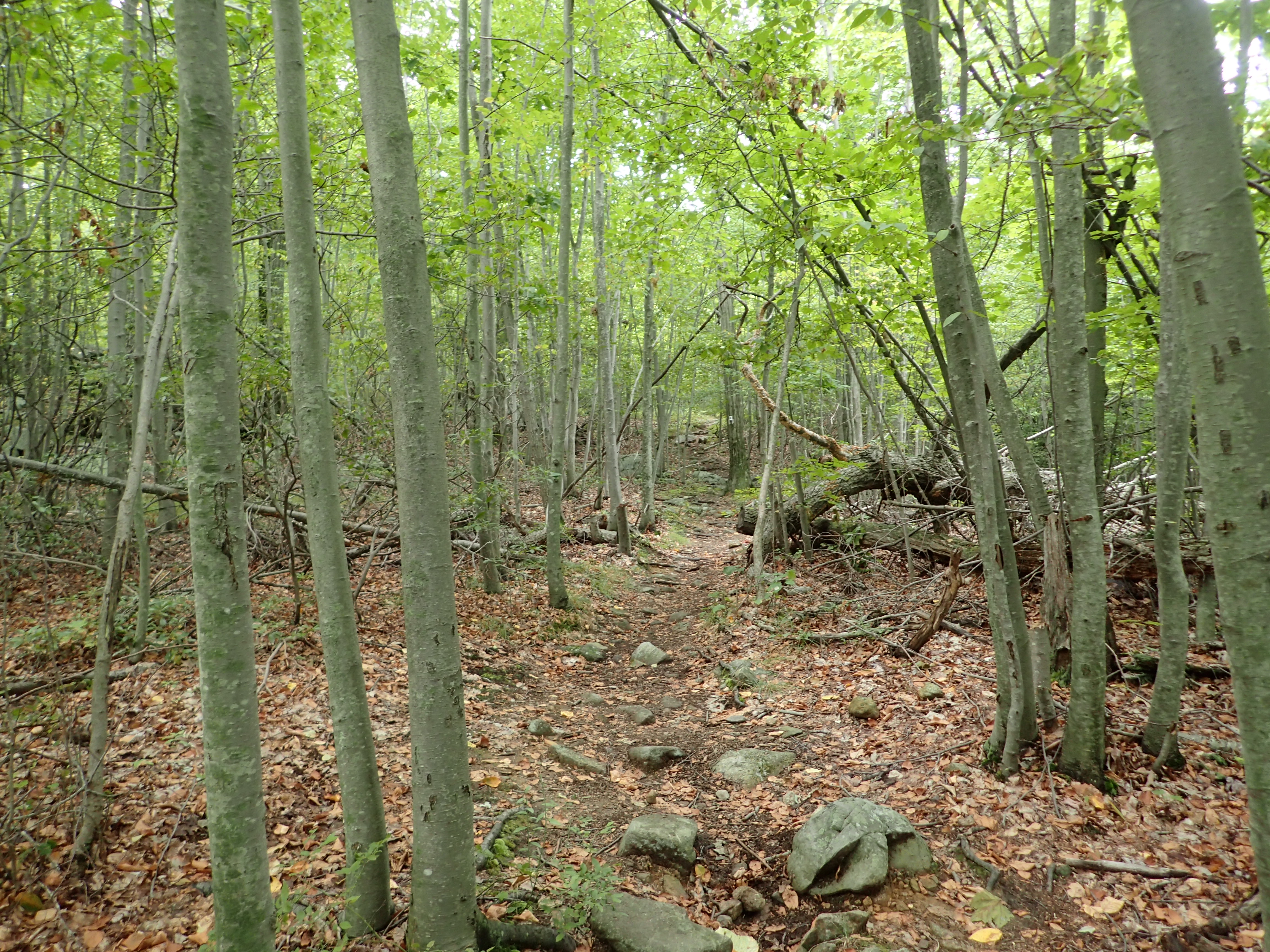
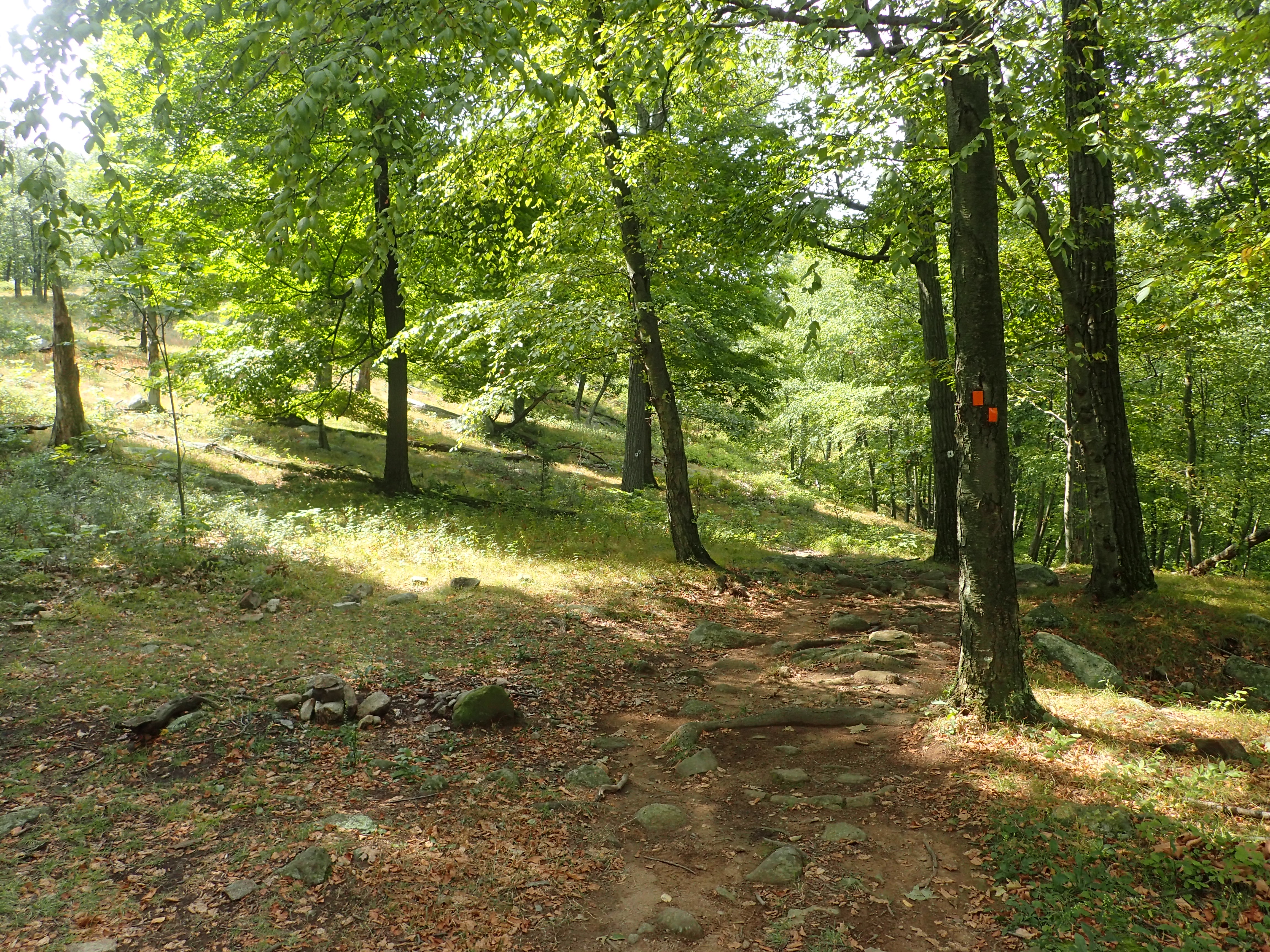
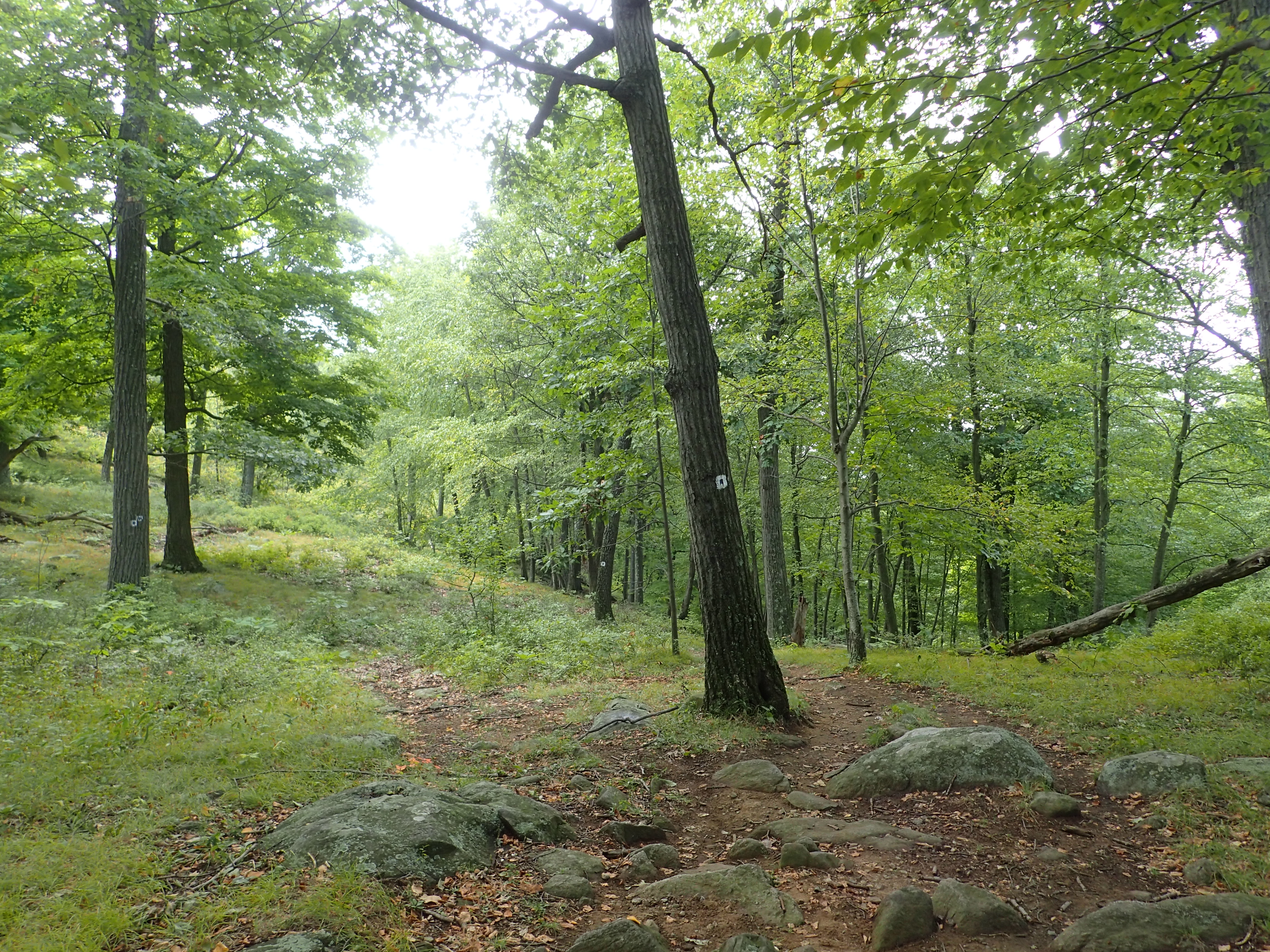
After reaching the junction I made a right and continued down the Blue marked trail towards the parking lot. This section of trail was fairly long but also uneventful. It was rocky and muddy in parts despite the weather being so dry so I can imagine at other times of the year it can be a bit of a mess.

View of the Blue marked trail headed towards the parking lot.
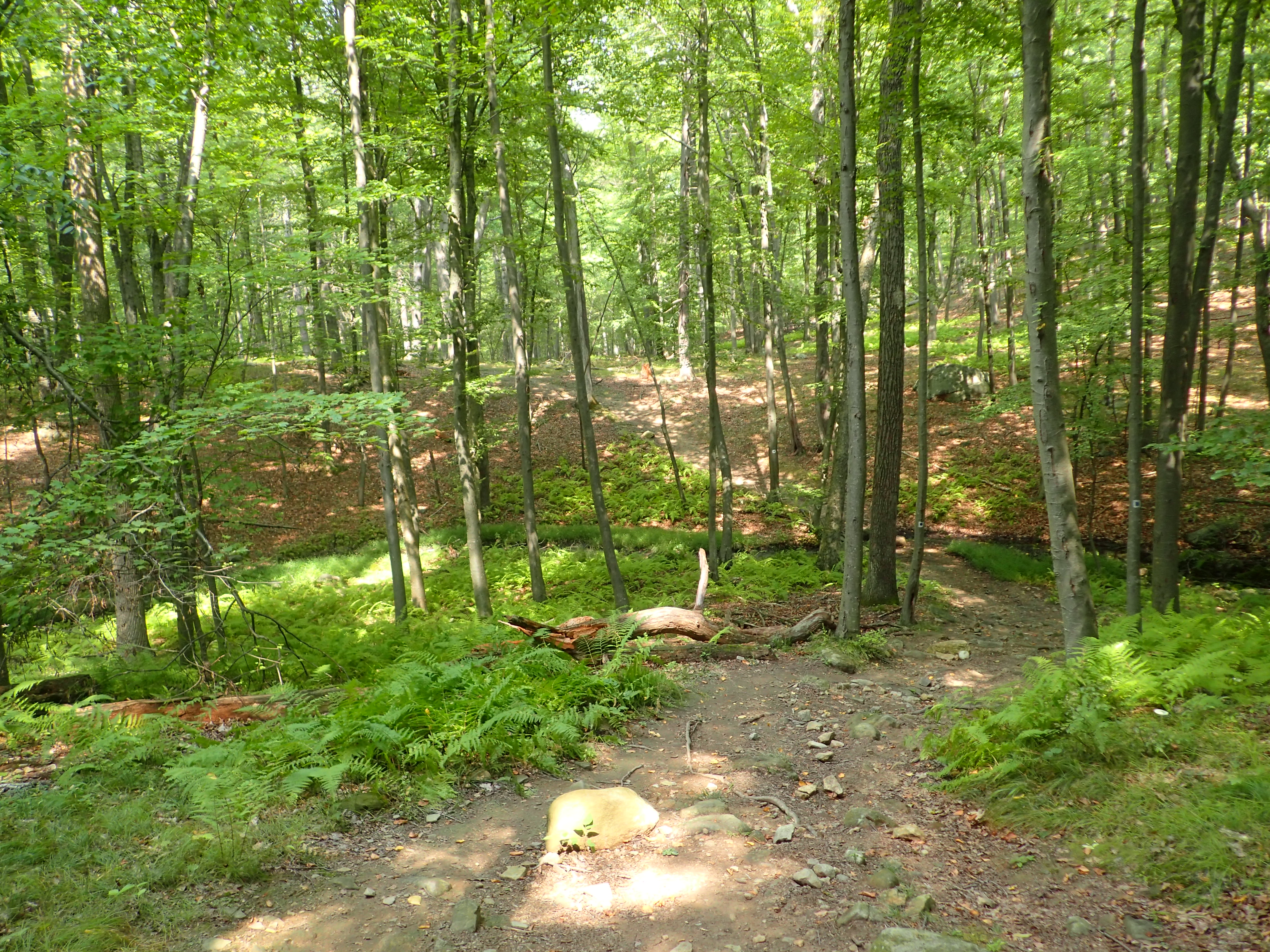
Another view of the Blue marked trail.
This section of trail was mostly uneventful and before too long I could see the road and cars parked off in the distance. There was a trail cutting down towards the road so I decided to head down that and exited out on to the road just a small distance away from the parking lot. I probably could have stayed on the trail longer and taken it directly to the Visitor Center but this worked out just as well.
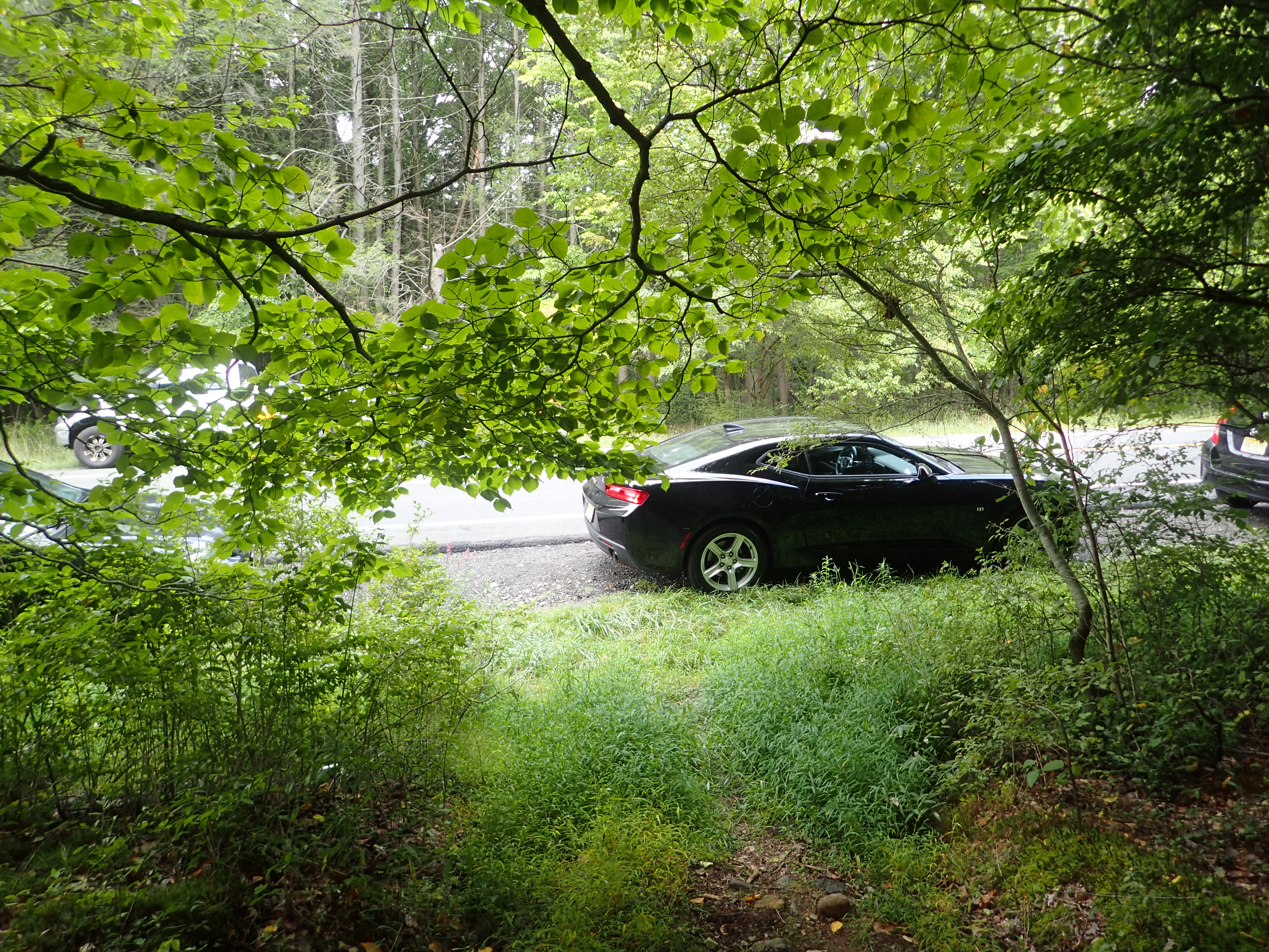
Exiting back out onto the road.
Once I was on the road I hung a right and made the short job back to the Visitor Center. All in all it was another fun day in Harriman and I still intend to come back and explore more of what this area has to offer. I am honestly always impressed and surprised by the diversity of trails and environments this area has to offer.
Categories: Harriman State Park, New York, Trip Reports


1 Comment »