
TRIP REPORT: Windham High Peak, Burnt Knob – Catskills, NY 5-20-17
Hiking stats at a glance:
Total Mileage = ~7.4 miles
Elevation Gain = ~1,500 feet
Hike Highlights = Windham High Peak (3,524ft), Burnt Knob
After a long hiatus from hiking due to renovating our new home down to the studs, I was able to make it back out for a local hike in the northeast. I had previously been invited to join some friends on a camping trip near Windham High Peak but since we were moving into our new house the same weekend I was only able to join for a day hike. Despite not being able to spend the night in the mountains we had a good time hiking up to the summit of Windham High Peak and Burnt Knob. Although Windham High Peak is one of the shortest peaks in the catskills over 3,500 feet, there are plenty of look outs on the way up that offer commanding and beautiful views of the surrounding area.
We started hiking from the parking lot at about 11am after driving up early in the morning the same day. When we arrived the parking area was packed with people heading off in every direction. Despite the amount of people at the trailhead once we were back into the woods the crowds were basically non existent. The only thing that was not nonexistent however was the bugs. From the parking lot to the summit the bugs, especially black flies were horrendous. Unfortunately that is just the name of the game for this time of year and all we could do was grin and bear it.

View of the parking area at Big Hollow Road.
From the parking area we took the Red trail which leads to Acra Point, Burnt Knob, and Windham High Peak 3.7 miles beyond. The hike is well marked from start to summit and it was no problem finding our way up to the summit.
Sign marking the start of the trail.
After signing in at the trail register we started making our way across the large brook at the start of the hike and down the trail beyond. I actually thought that this area by the brook was one of the nicest parts of the hike.

The first brook crossing just beyond the trail register.
After passing the first brook crossing a mellow section of mostly flat trail through an evergreen forest brought us to the second brook crossing. This one required a little more imagination to cross but there were plenty of rocks to hop across.

From here the trail got much steeper as it cut a straight path up to the top of the ridge. The grade was not excessively steep but like all trails in the northeast it cut a direct path straight up. The good thing is that this approximately 1 mile section accounts for most of the elevation gain on the day.
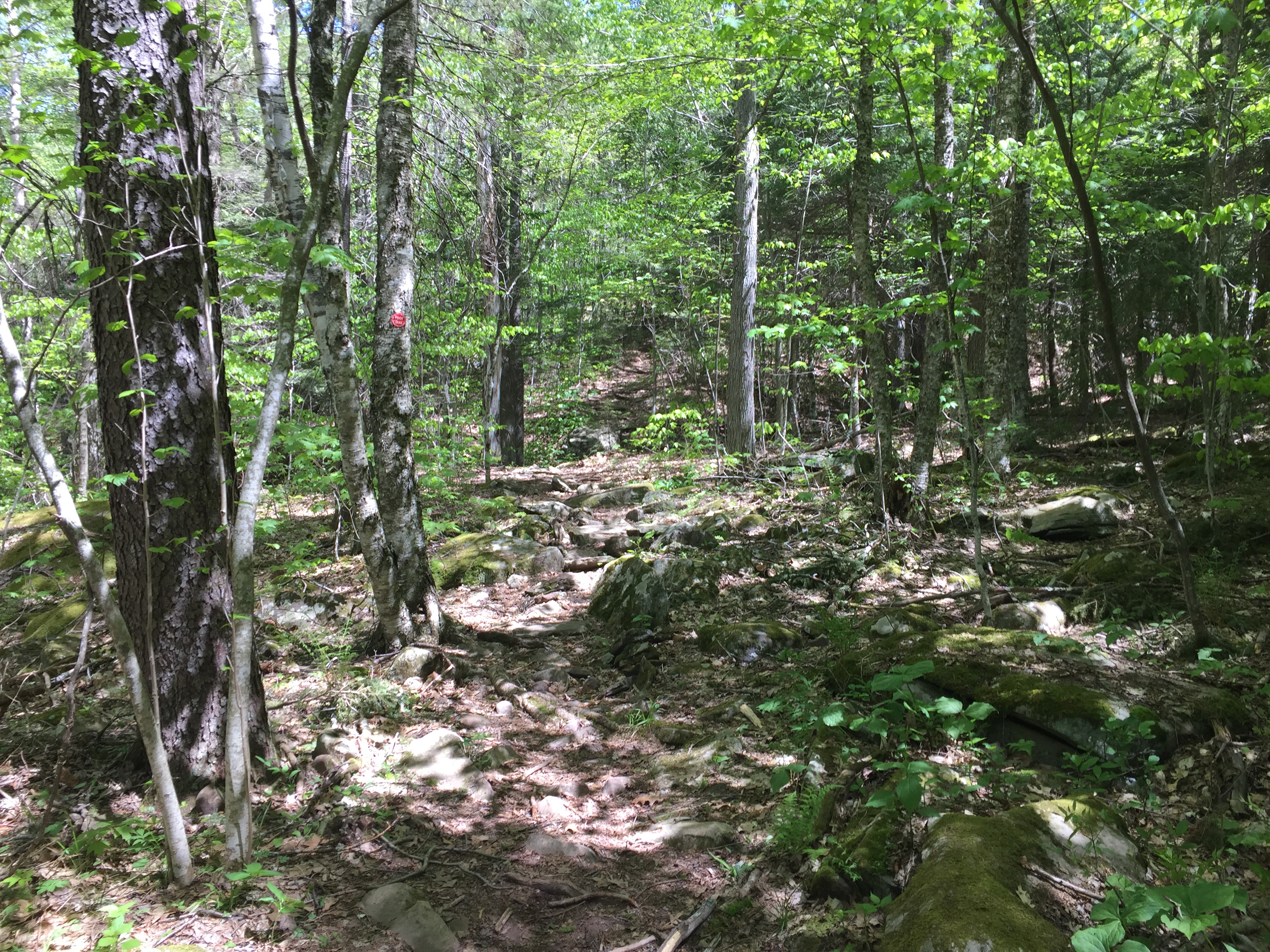
View of the trail passing the second brook crossing.
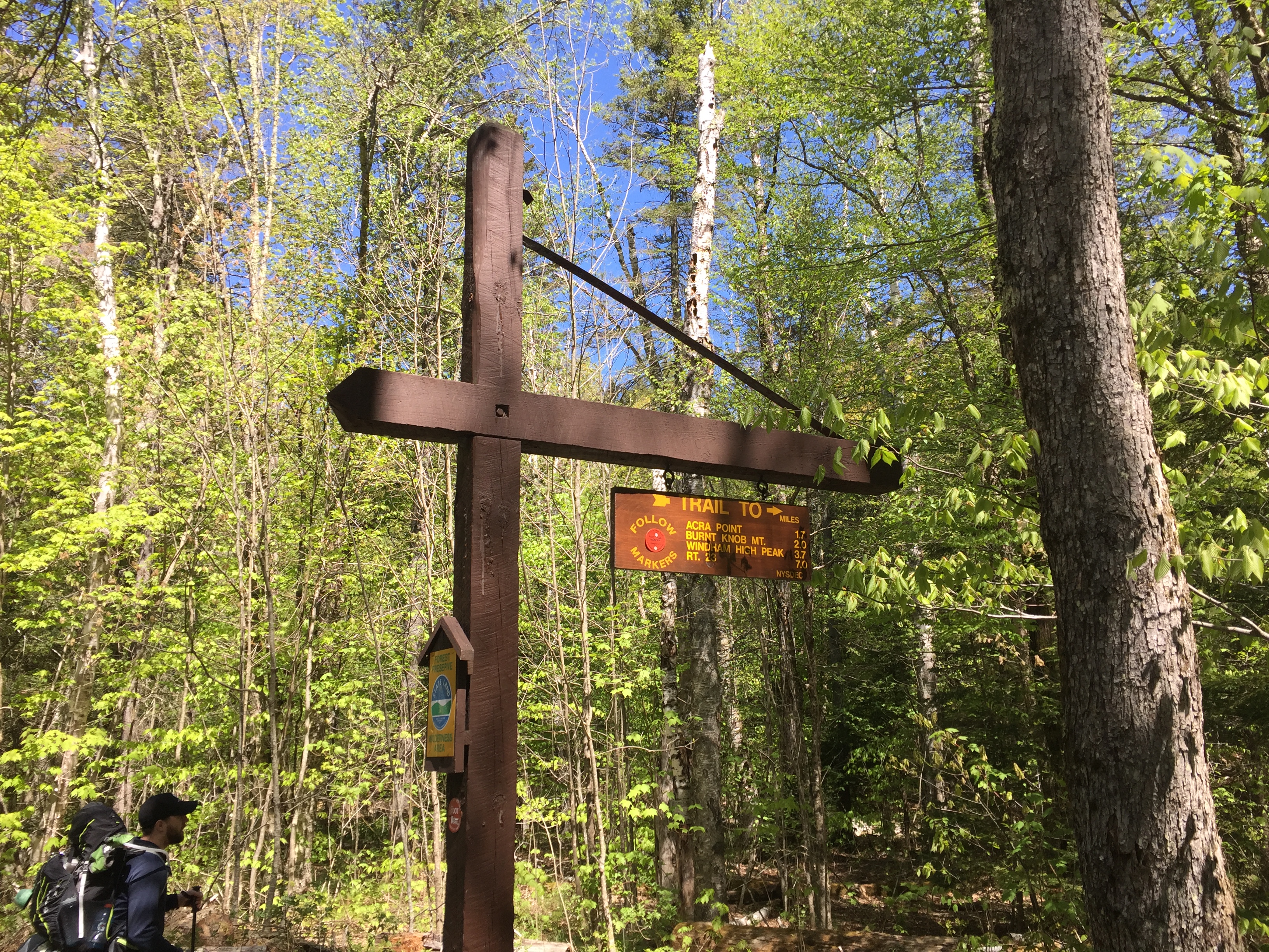
After working our way up the trail for a short while we reached the only trail junction of the day. From here you could make a right towards Acra Point or a left towards Burnt Knob and Windham High Peak.

View of the trail junction sign.
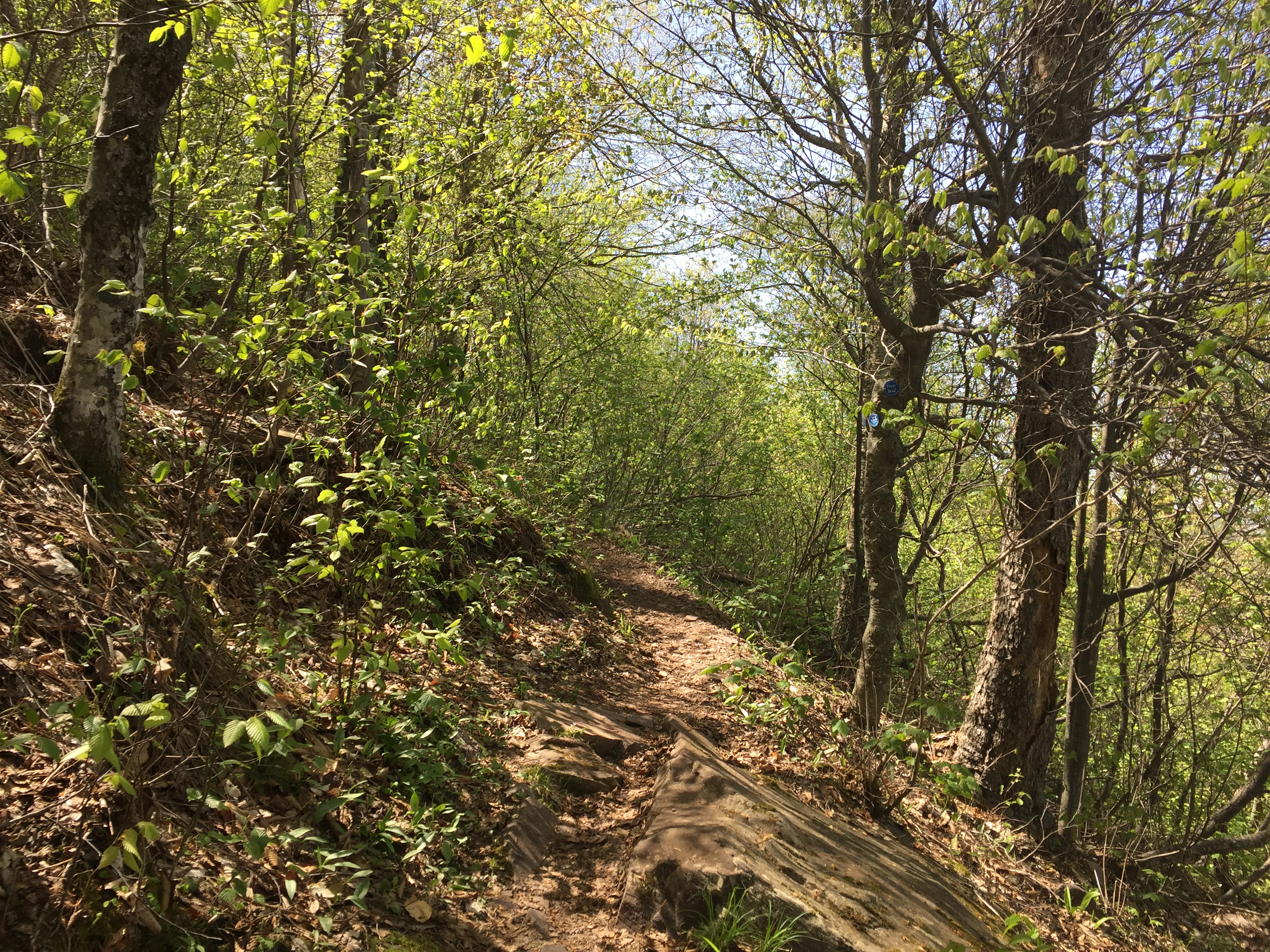
We hung a left at the trail junction and continued on towards Burnt Knob and the summit of Windham High Peak beyond. The hike from here is 2 miles along the top of the ridge without a large amount of ups and downs along the way.
View of the trail headed towards Windham High Peak.
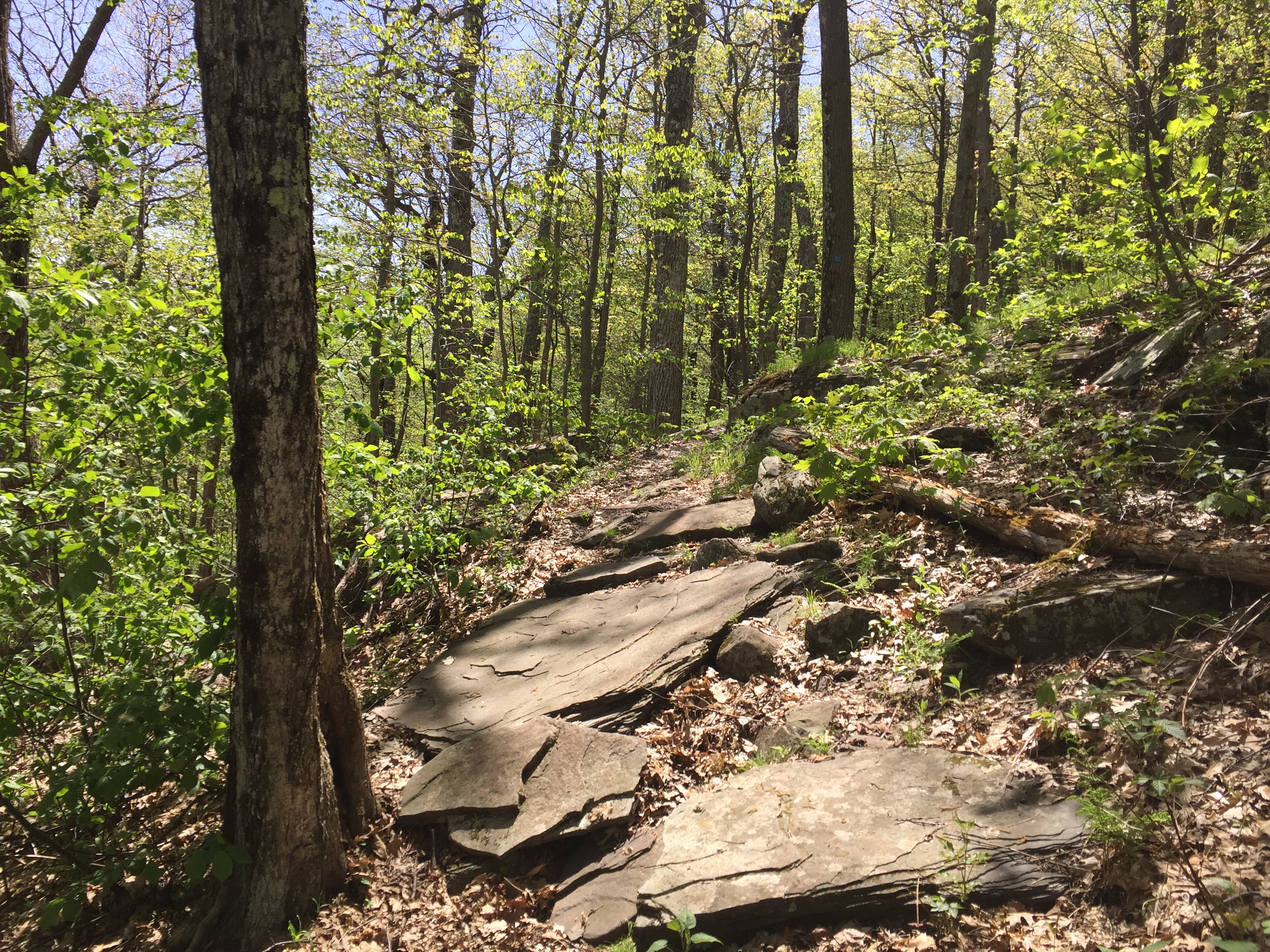
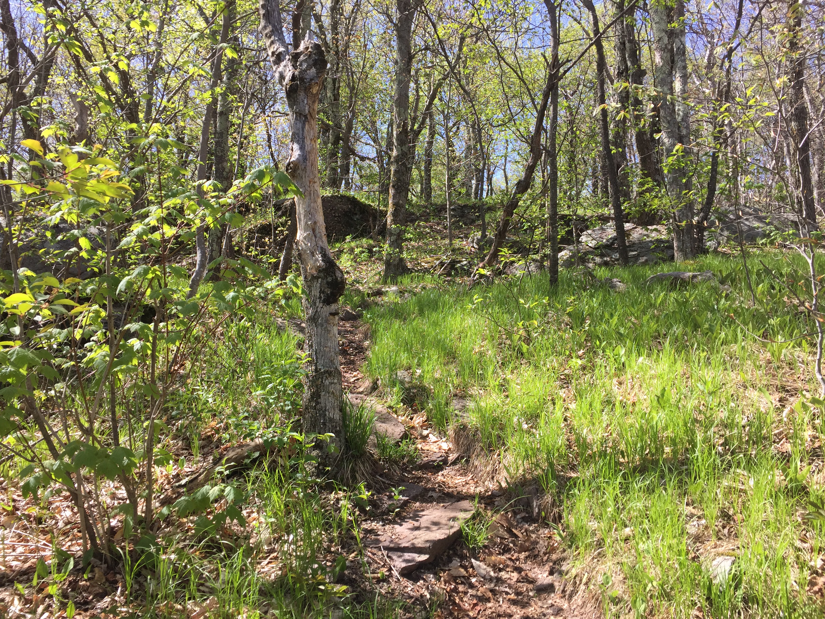
After getting on top of the ridge the trail got much rockier but it was still easy to follow and not overly challenging.
View of the trail on the way up to Burnt Knob.
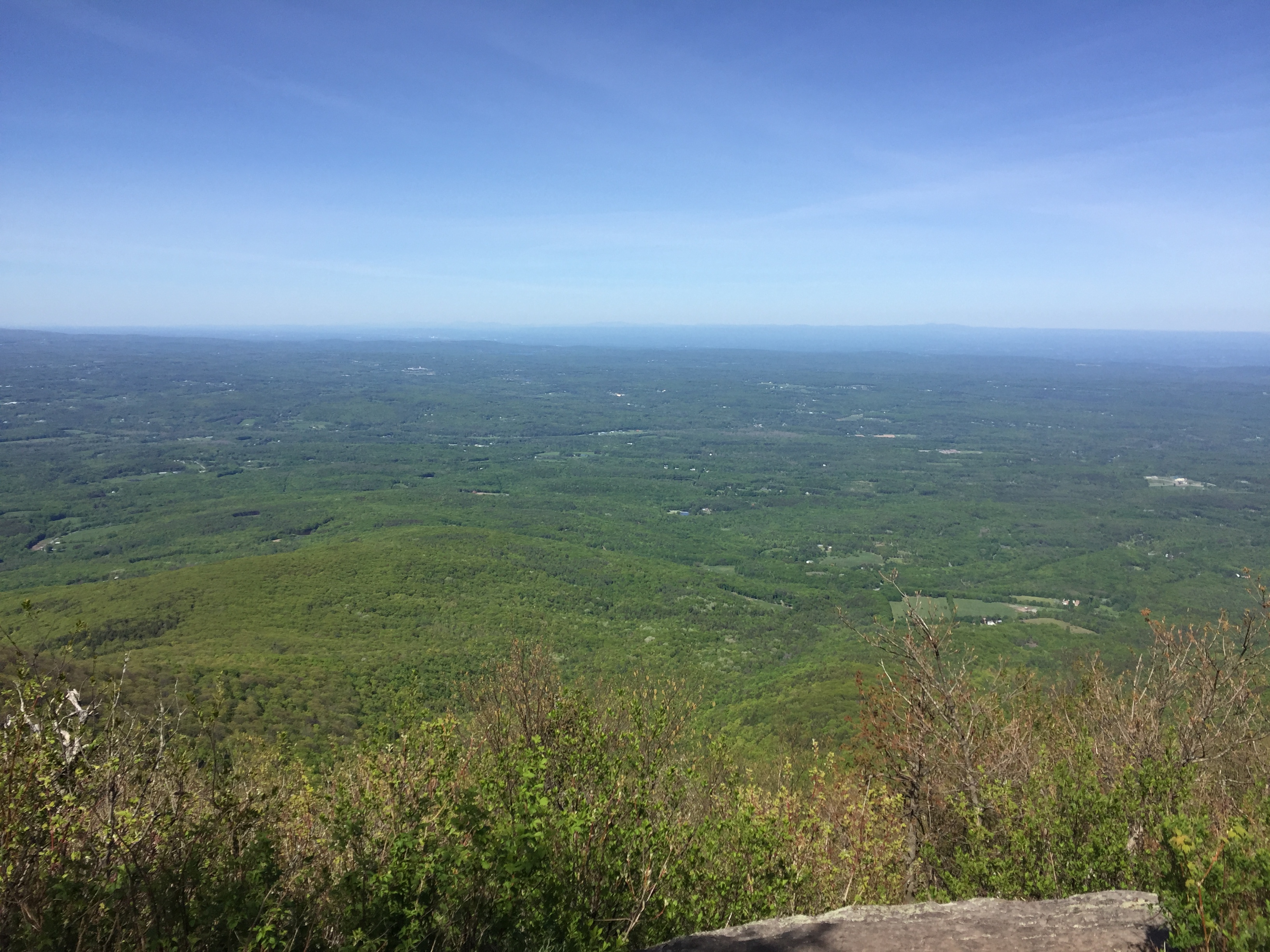
Before too long we reached the first of many overlooks along the way to the summit. The entire hike along the ridge is wooded but there are quite a few overlooks along the way to the sides of the trail which offer beautiful views of the surrounding area.
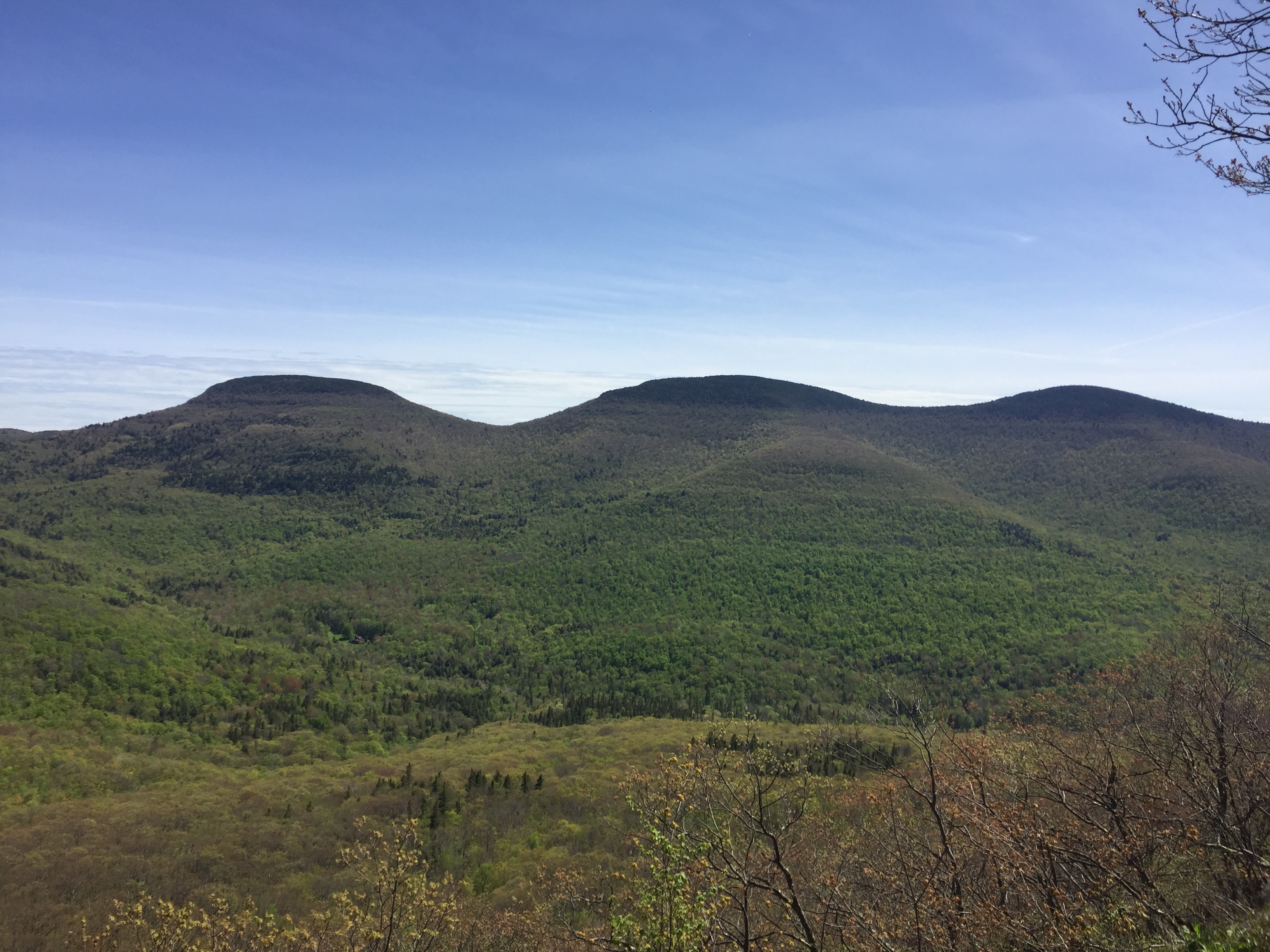
View from the first overlook.
View from another overlook along the way.
After several small ups and downs along the trail we reached one more overlook which I think was actually one of the best overlooks.

My favorite overlook of the day.
After this overlook we made the final approach up to the summit along the ridge trail. The trail continued to be fairly easy with only a few ups and downs.
Trail on the final approach to the summit.
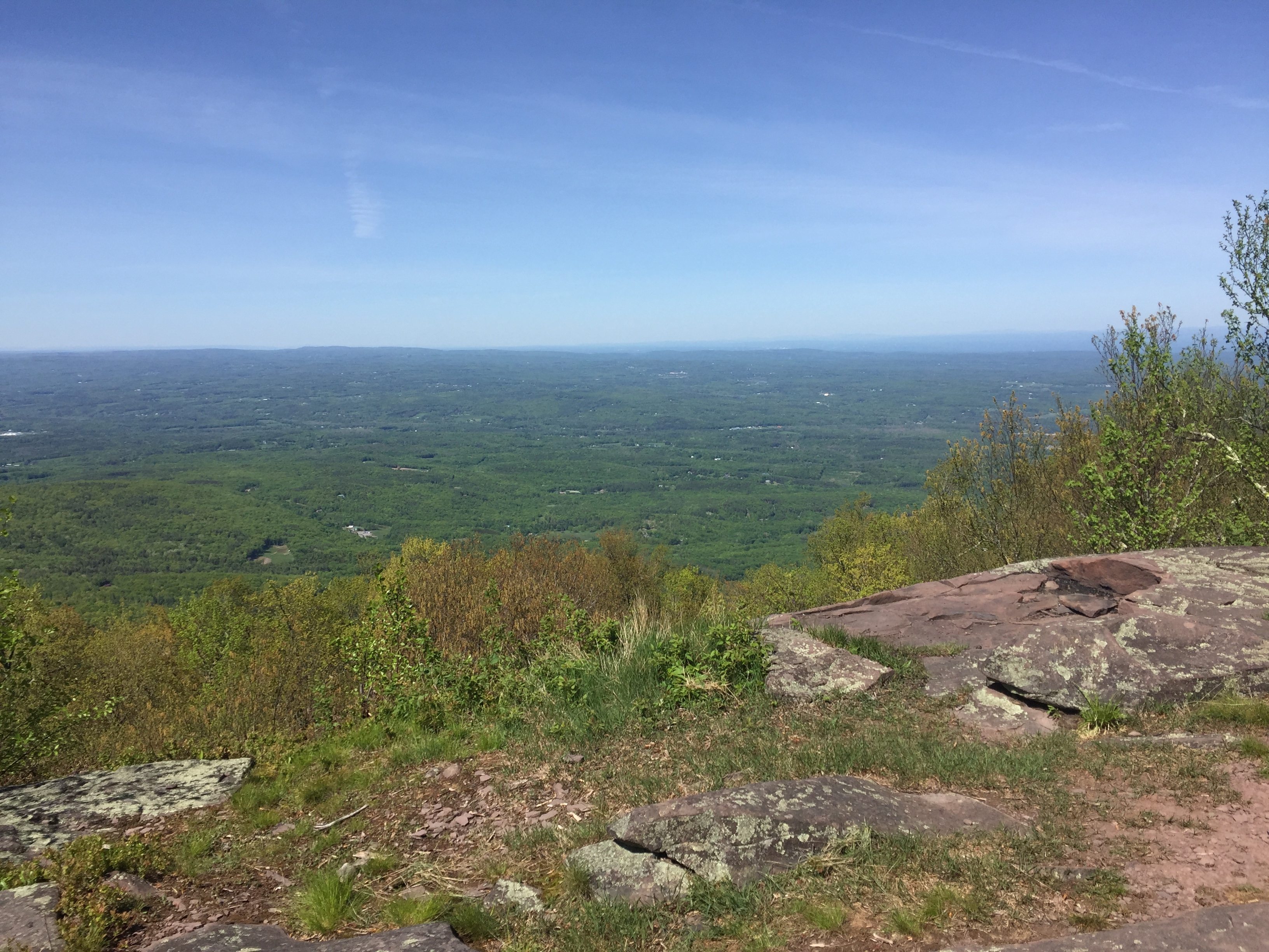
Right before the true summit we reached the last lookout of the day. This viewpoint was much like the others from lower down on the mountain but it was still enjoyable.
View from the last lookout just below the summit.
After taking in a few minutes of the view before the bugs swarmed on us we made our way down the trail another 100 feet or so to the true summit. The true summit is marked by a large rock that has a benchmark punched into it and not much else. If the benchmark wasn’t there it would be very easy to miss the summit and walk right past.

View of the summit rock.

The summit benchmark.
After tagging the summit we made our way back down the way we came. The descent was non eventful and before too long I was back at the car and packing up for the ride home. Unfortunately I wasn’t able to even change my shoes without getting eaten alive by even more black flies. All in all it was a good day back on the trail and an enjoyable summit. I would recommend this as a great hike for nice views without too much effort, as long as the bugs aren’t exceptionally bad!
Categories: Catskills, New York, Trip Reports

