TRIP REPORT: Hogencamp Mountain and Ship Rock Loop via Lake Askoti – Harriman State Park, NY 8-27-16
Hiking stats at a glance:
Trailhead: Lake Askoti
Miles Round Trip: 5.4
Hike Highlights: Hogencamp Mountain, Ship Rock
Since we had a little bit of extra time Kelly and I decided to tackle another short hike in Harriman State Park. Kelly had never been to Harriman before, so I figured we should start from the same area I visited last time. This way she could get a similar first experience. We didn’t do the exact same loop but it was still a pretty great day going on a short hike. Every time I go to Harriman I feel like I am more impressed by the diversity this area has to offer so close to home.
Last time I got pretty lucky arriving at the Lake Askoti parking lot later in the day and got a parking spot right away but unfortunately this time it was a bit more crowded and we had to make several loops around the lot before eventually getting a spot. This is probably the only downside to Harriman but for being so close to home I can tolerate the parking lots being a little crowded. Luckily most people don’t stray too far from the lots so the trails are still pretty quiet overall.
We started our hike on the red marked trail which starts directly right of the trail marker.

The red marked trail starts to the right of the empty sign.
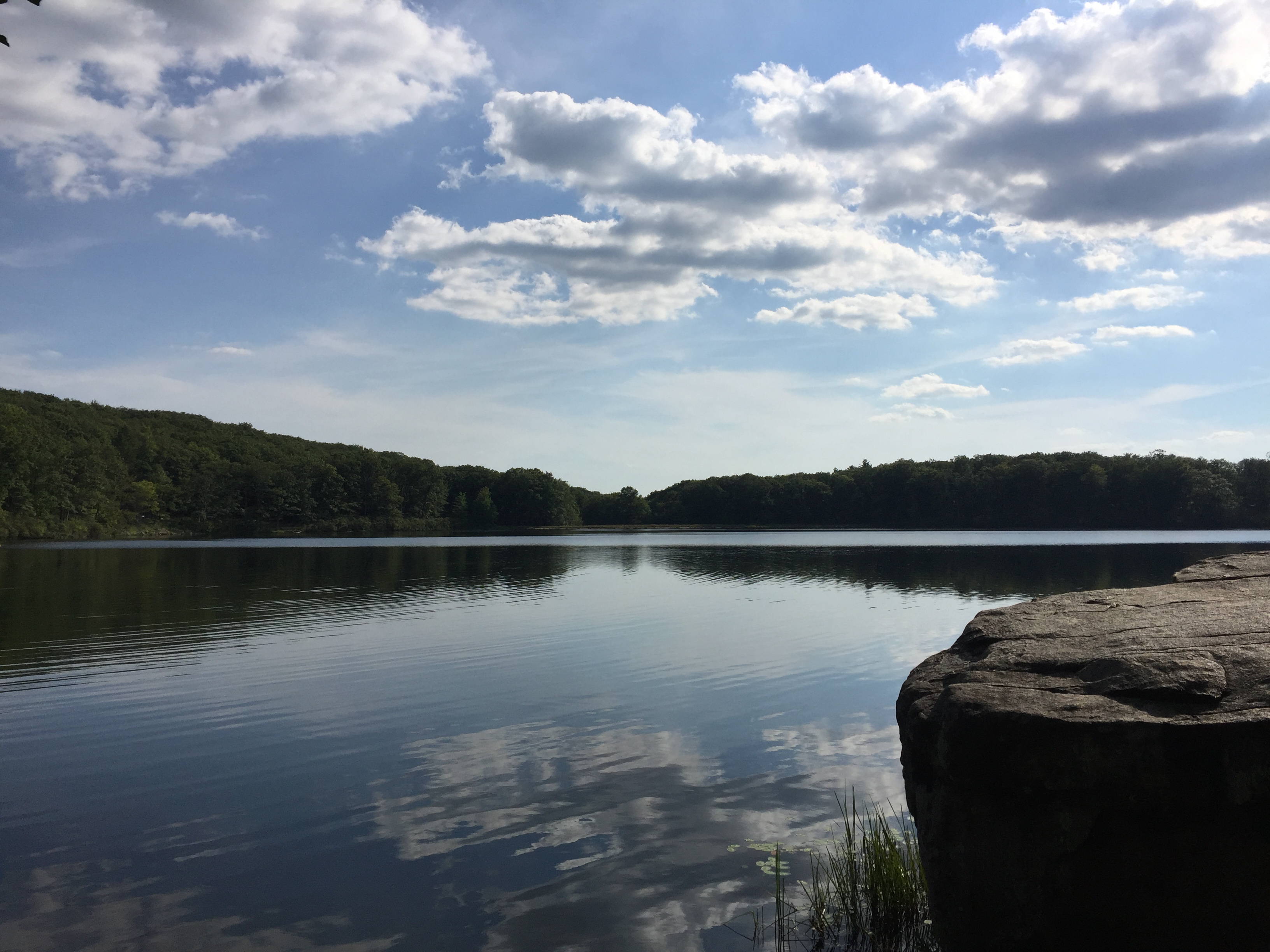
View of Lake Skannatati adjacent to the lake and trailhead.
I didn’t hike this particular trail last time so this section was new for me as well. The red marked trail starts going up the side of the hill right from the start as you move away from the lake and towards the northern end of the Pine Swamp. The trail is well marked and heavily traveled so route finding is not a real concern.
Start of the red marked trail.
The trail overall is in good shape with basically no mud but there are some rocky sections here and there. However, the rocky sections are few and far between so I would say it is a pretty great trail for a nice trail run as well as a hike. The trail continued pretty uneventfully as it wound its way through quiet picturesque woods.

Continuing along the red marked trail.
Once we crested the hill the trail dipped back down into the northern edge of the Pine Swamp. The varied landscape is still one of the things I like best about Harriman. The trail didn’t stay along the Pine Swamp very long before we approached the junction with the yellow marked Dunning trail. From this junction we continued on the red marked trail towards Time Square.
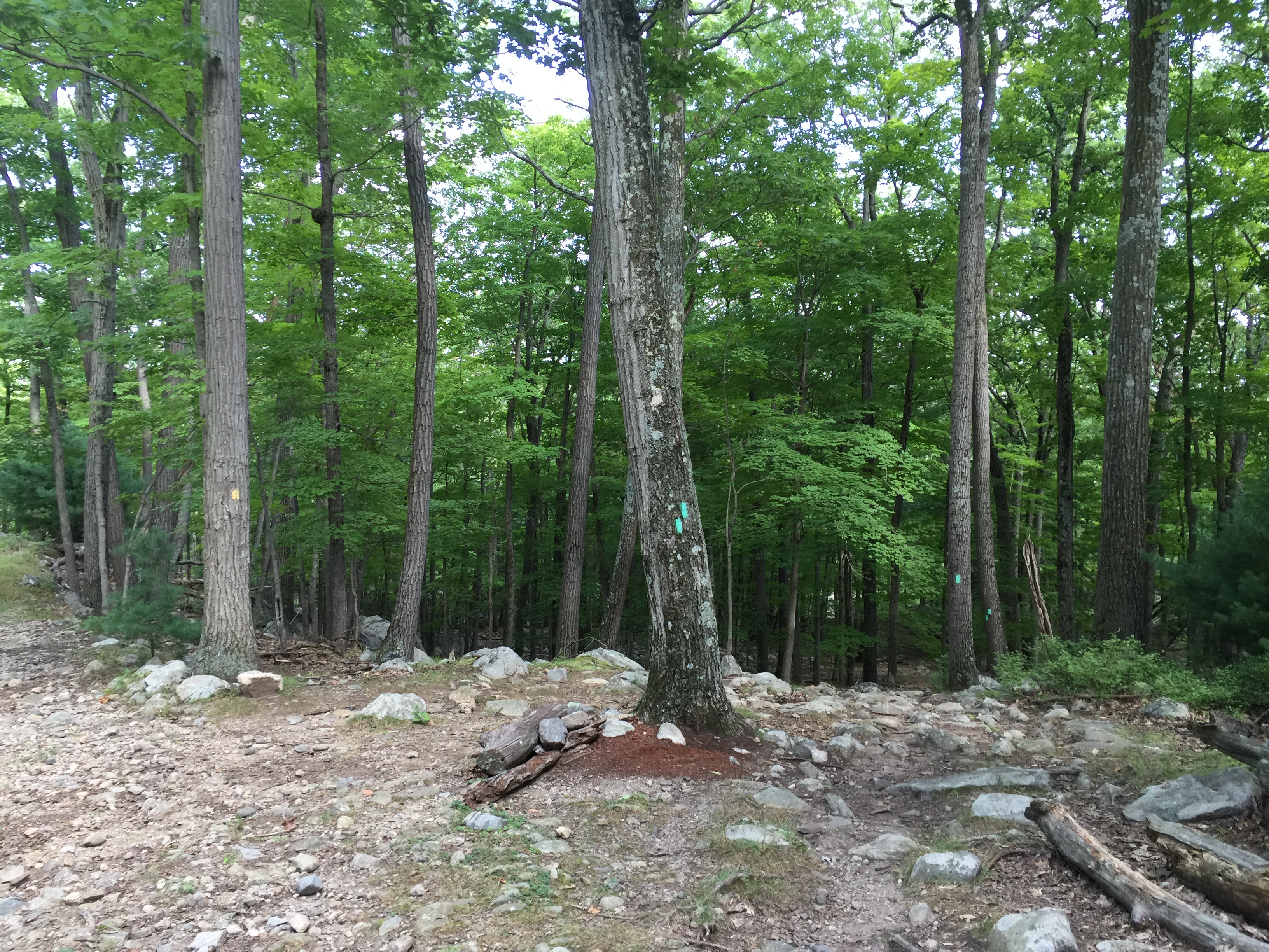
Trail junction of the red and yellow trails.
Once we passed the junction it was just another short 0.45 mile section before reaching the Times Square junction. This section of trail got a little bit rockier as we climbed back up the hill towards Times Square on the side of Hogencamp Mountain.

View of the trail headed up to Times Square.
Before too long we reached the large boulder which marked Times Square. This intersection is pretty impossible to miss.
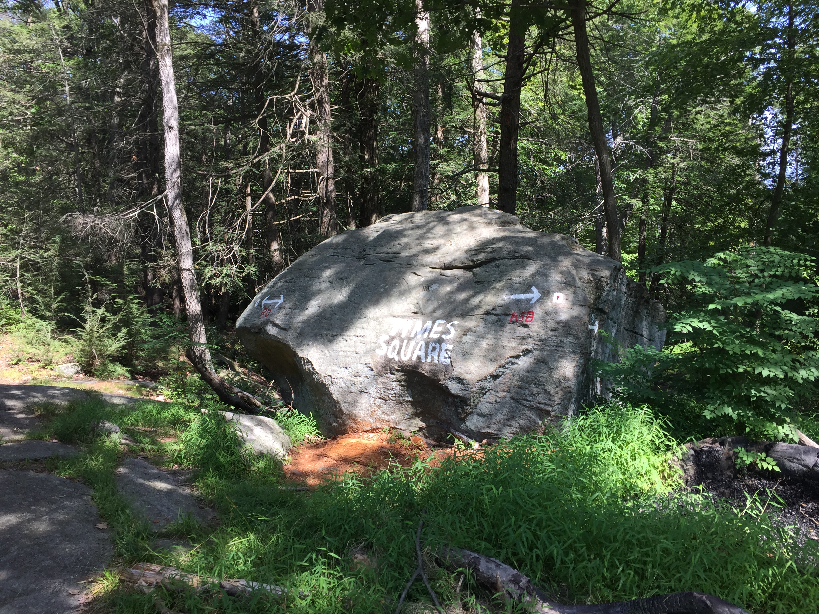
Large boulder marking the Time Square intersection.
From here we continued on the red marked trail which is more or less directly across from where we exited into the Times Square clearing. The trail isn’t super obvious but there is a small marker on the tree so you should be able to find it without too much trouble.

Junction at times square for the continuation of the red marked trail.
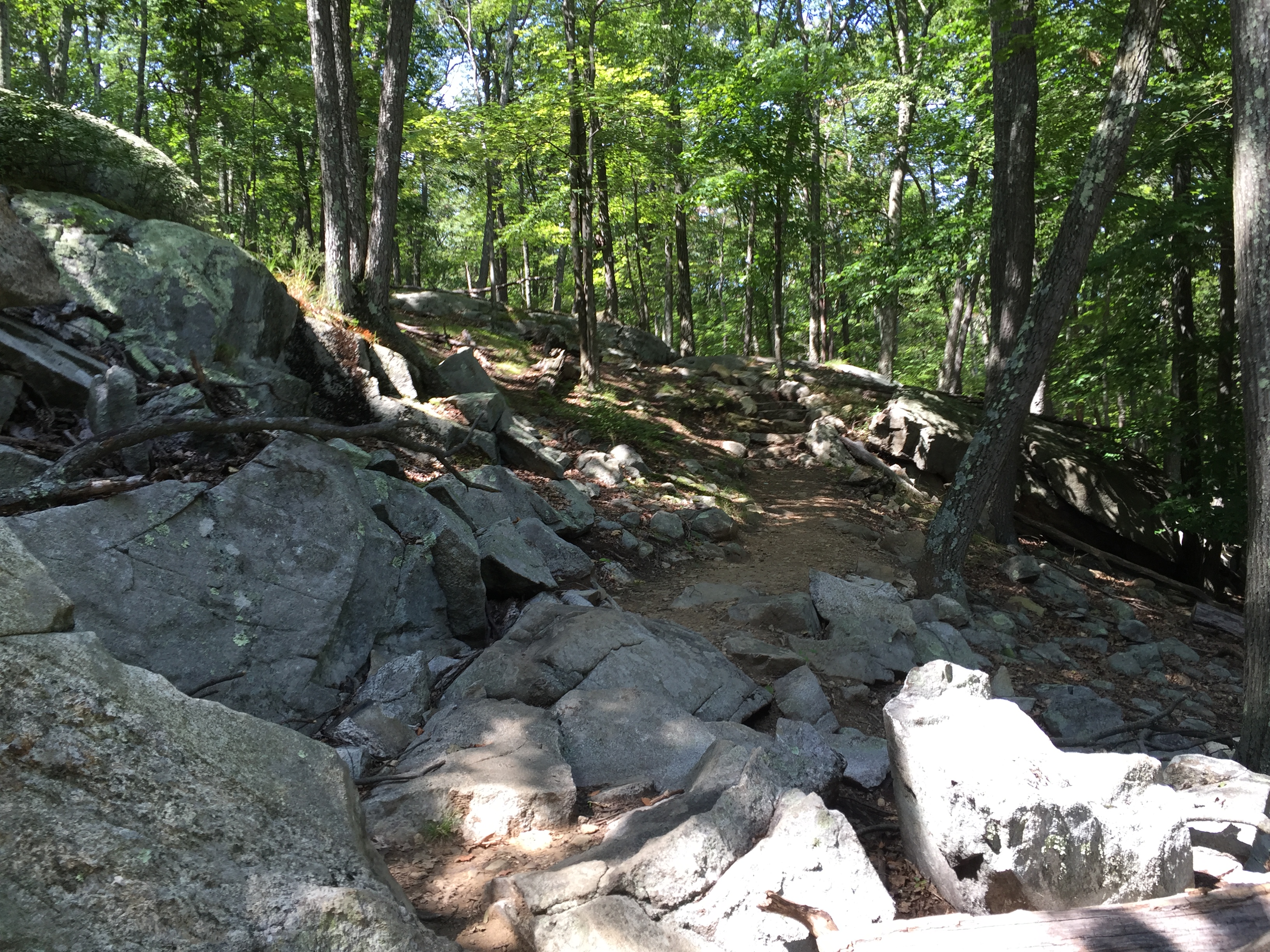
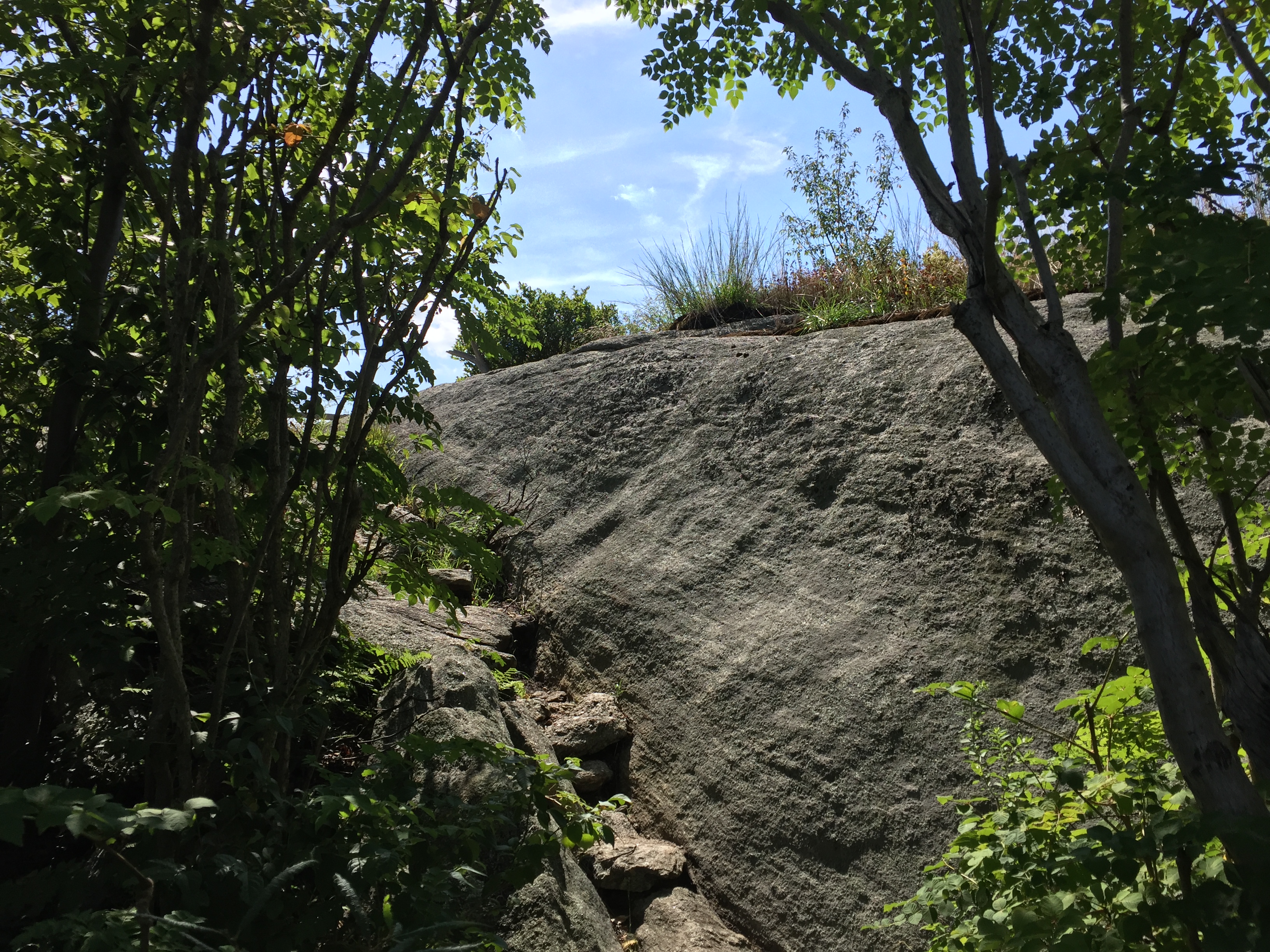
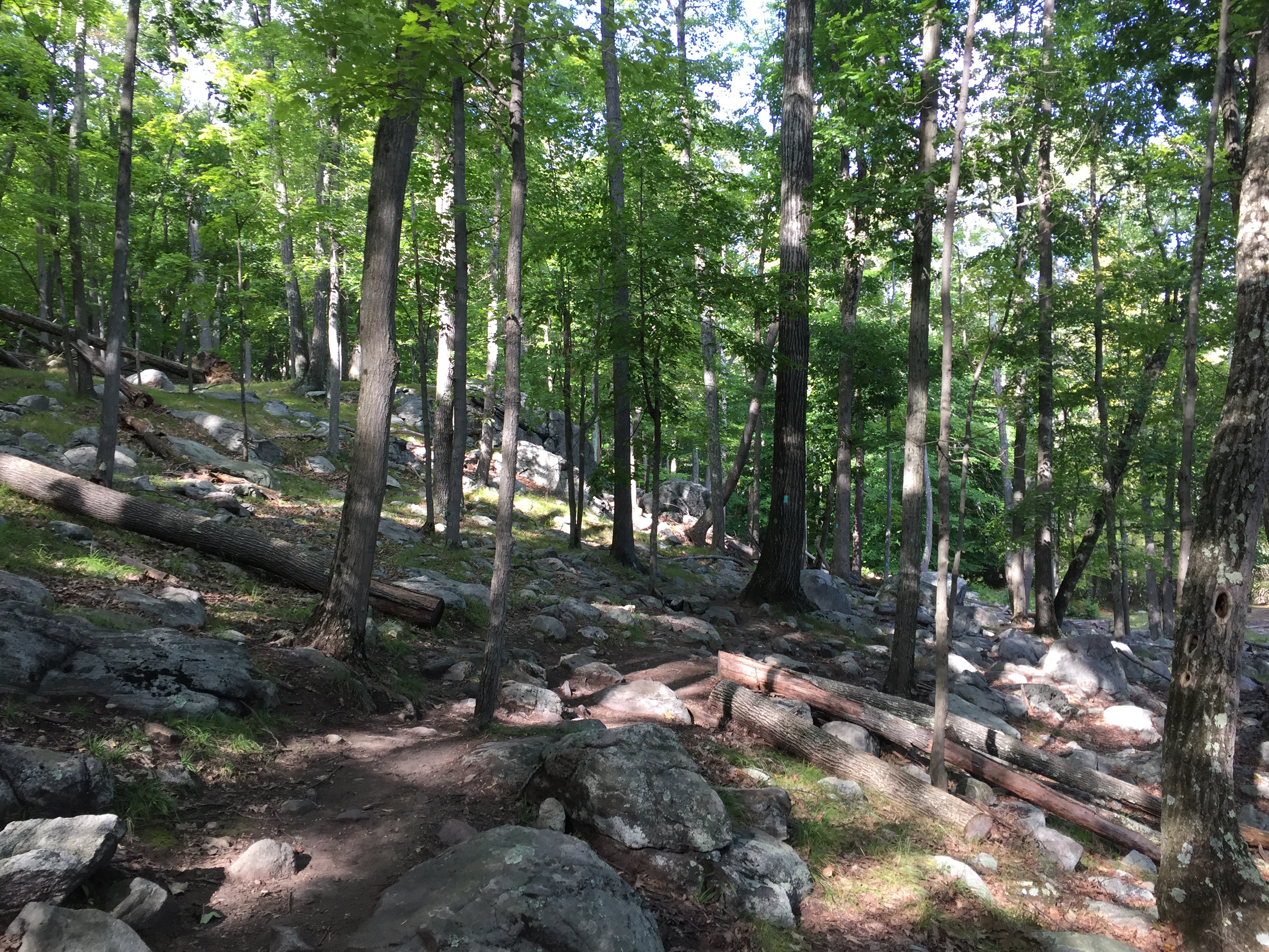
From here the hike got much more interesting as the trail worked its way up several rock bulges and slabs as you climbed to the top of Hogencamp Mountain. It was not hard hiking but it did make things more interesting overall.

Start of the rocky sections leading up Hogencamp Mountain.
From here the trail can also get a bit more challenging to follow as the trail isn’t always very obvious and most of the markers are on the rock as opposed to trees. I would be sure to take care if you are visiting in the winter months when a lot of the markers may be covered by snow or ice.
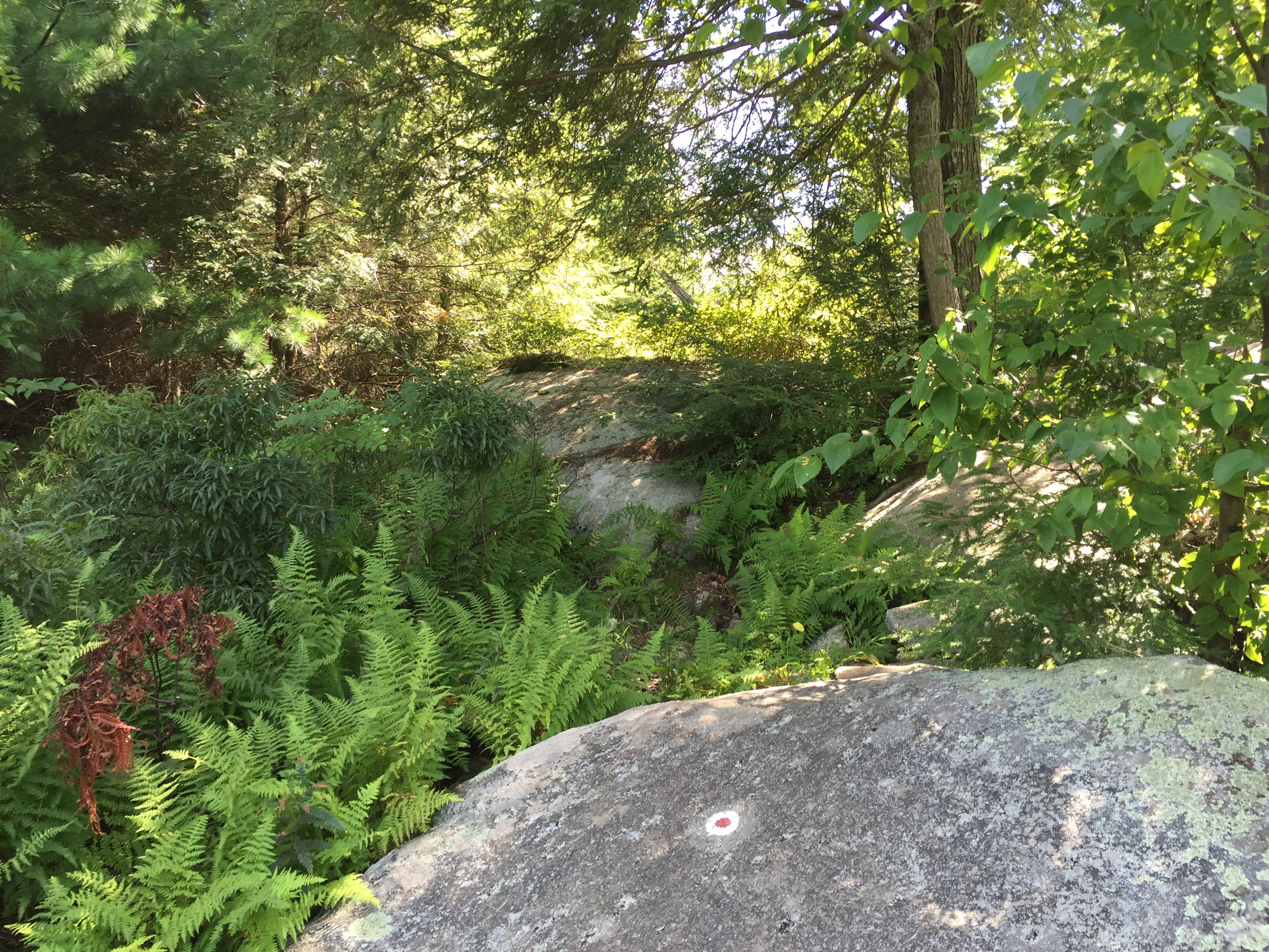
Trail marker on one of the slabs and not so obvious trail beyond.
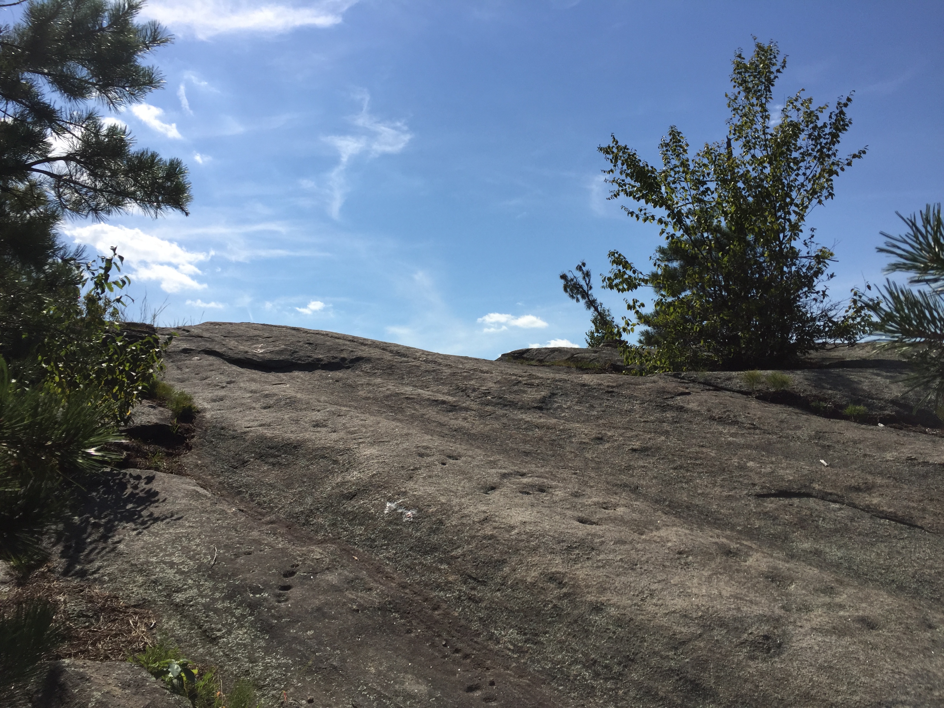
The views got better and better as we walked across various slabs as we approached the summit of Hogencamp.

One of many slabs along the route.
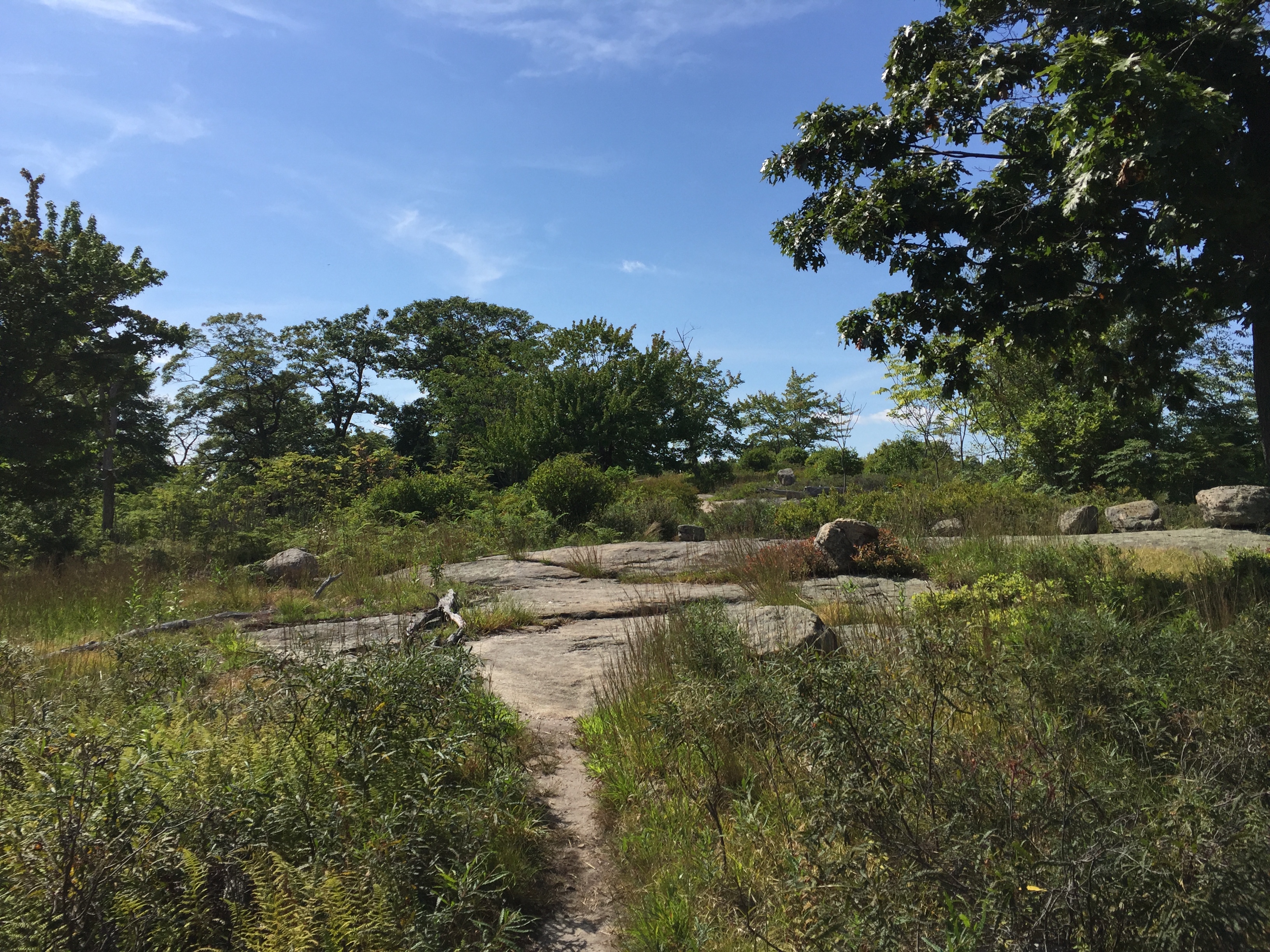
Before too long we were standing on the mostly open summit of Hogencamp mountain. For such a low mountain it was pretty great to get such wide open views of the surrounding area. This is one of the best parts about Harriman. You can get lots of views and plenty of interesting hiking without too much effort.

View from the summit of Hogencamp Mountain.

Another view from the summit of Hogencamp Mountain.
From here we continued along the red marked trail as it traversed the top of the ridge. The trail stayed a little difficult to see but we didn’t have any trouble any real trouble as we followed the path of least resistance along the ridge.
Continuing along the ridge on the red trail.
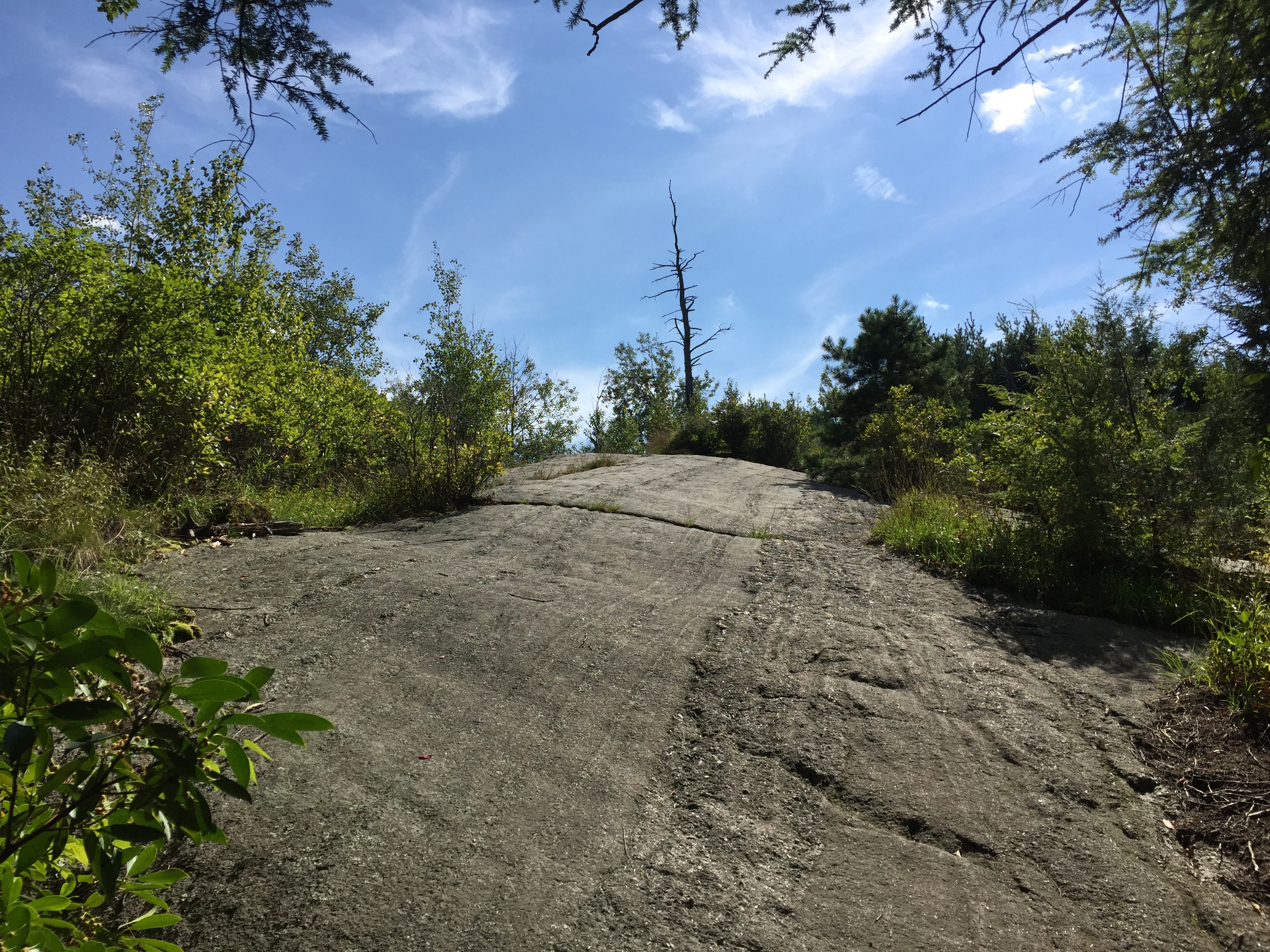
The trail continued along these rocky slabs as we worked our way towards Ship Rock, which was the next major landmark on the map.

Continuing on the trail along the ridge.

Neverending slabs which reminded me a lot of hiking in Acadia.
Now I have to admit we passed Ship Rock without really noticing it. I actually snapped a picture of it just in case it might have been Ship Rock and it just happened to turn out that it was. It is really just a boulder that I guess to someone resembled a ship? I’m not really sure, but who am I to question it. It is still a good landmark to know for navigation purposes I suppose.

The one and only Ship Rock.
From here the final stretch of trail we intended to hike on the red marked trail traversed a series of steeper rock slabs as we made our way down the opposite side of Hogencamp.
Continuing past Ship Rock.
More and more slabs.
Once on top of the slab just past Ship Rock we reached another trail junction which was marked by a couple of arrows on the rock. We hung a left at this intersection and continued back down into the woods.

Trail junction marked on the rock.

Crossing a small stream as we passed back into the woods.
Once we crossed the small stream we hit yet another steep slab. This was actually the largest one we had run across all day. It may seem intimidating to some but the rock was very grippy and the low angle made it an easy scramble to the top.
The largest slab of the day.
Once we climbed up the slab we were on yet another ridge we had to traverse towards the Bald Rocks shelter and yellow Dunning Trail we intended to hike back down to the parking lot.

Yet another rocky ridge.
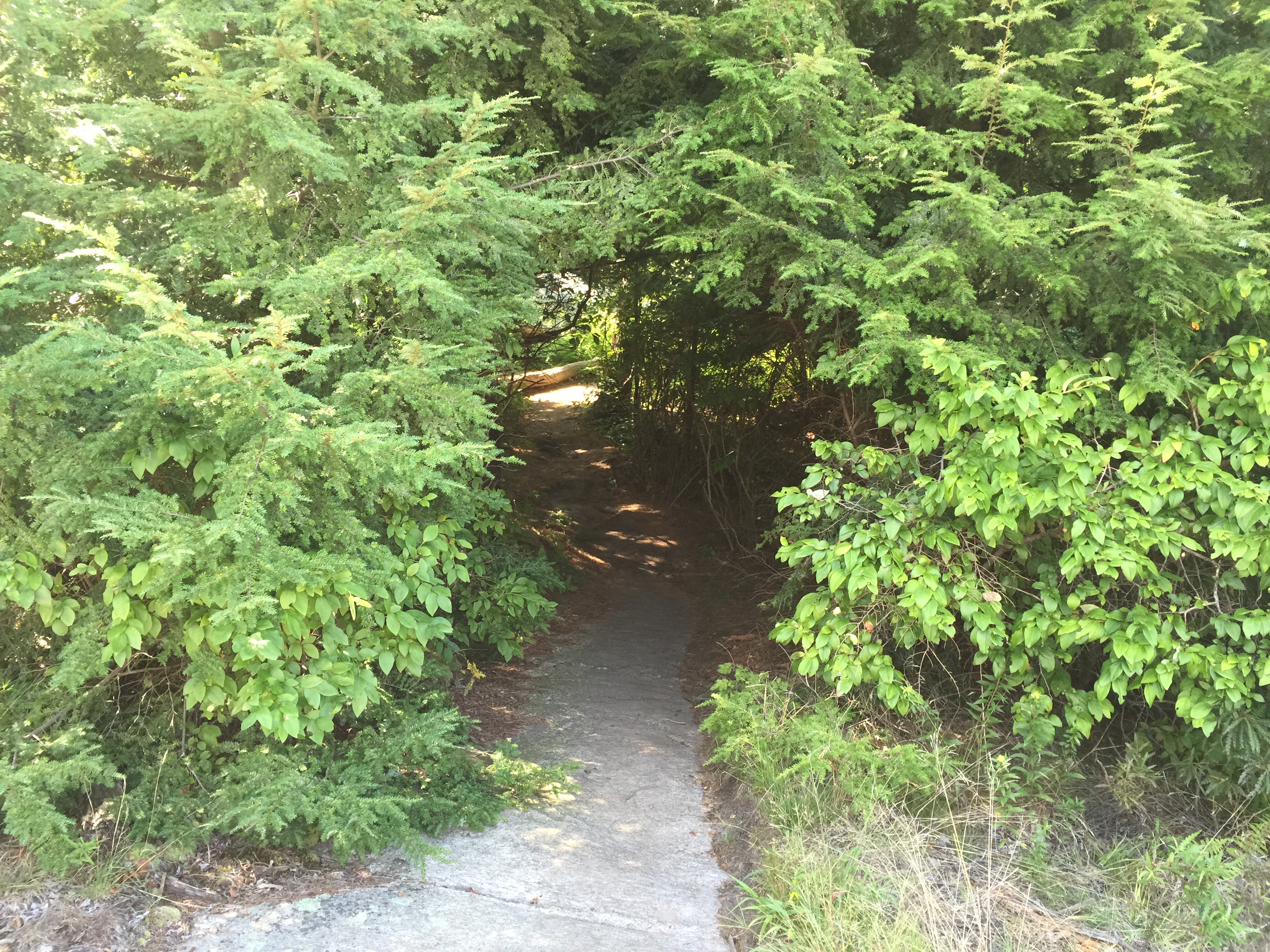
The tree tunnel.
I would just note that you want to stay sharp looking for the markers through this section as they can be a little challenging to find if you are not paying attention. Before too long we had reached the area surrounding the Bald Rocks shelter.
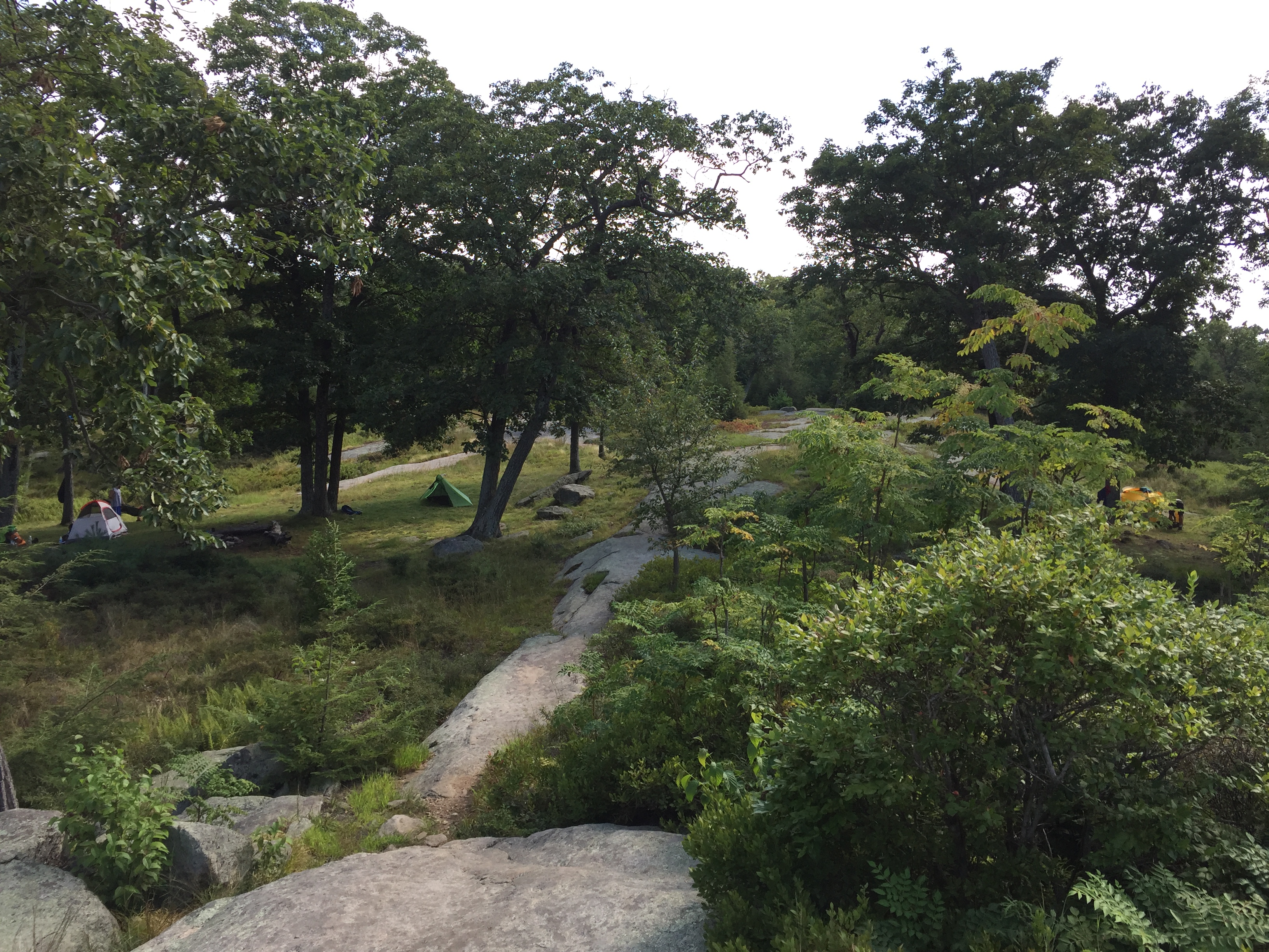
People camping near the Bald Rocks shelter.
It was around this area that we expected to find the junction with the yellow Dunning trail but after walking back and forth down the trail we never actually saw and markers. I am not sure if we just missed it or there wasn’t one in the first place but we didn’t have much luck. After wasting a few minutes walking back and forth we decided to just ask the campers if they knew and they mentioned that the trail was actually right behind their camp site. So we hung a left through the campsite and followed a small path that lead us straight down to the yellow trail we were looking for.

Junction at the yellow marked trail behind the campsite.
Another short series of trails and another short slab put us back into the woods and heading towards the green marked Long Path trail.

The last slab of the day.

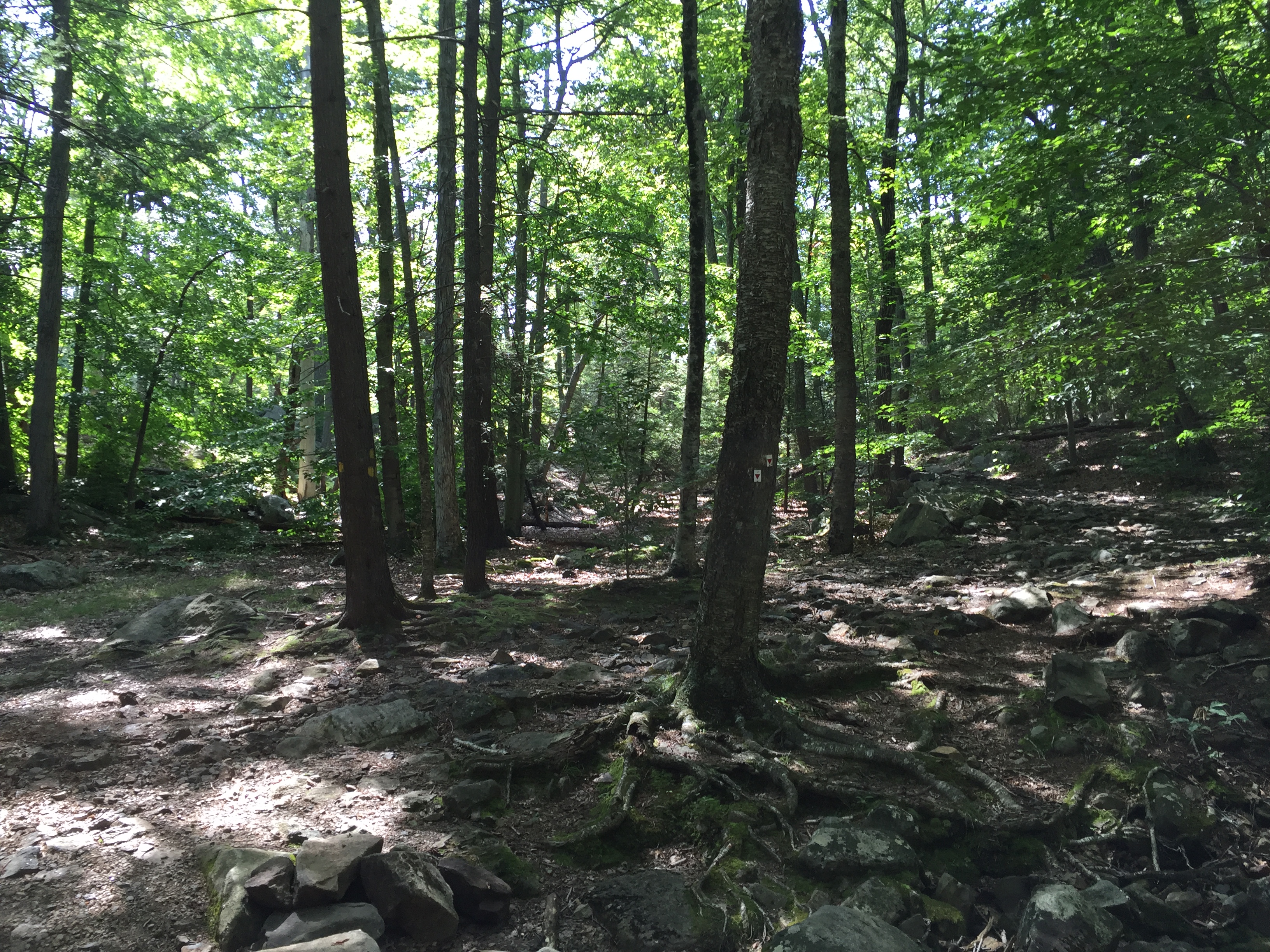
Back in the woods along the yellow Dunning trail.
The Long Path junction is a bit more well marked and it was actually the trail I used on my last trip to Harriman so I was familiar with where it was. From this junction is was just another 1.3 miles back to the parking lot.
Trail junction for the green marked Long Path.
The hike along the Long Path was uneventful as we wound our way back down towards the lake and the parking lot beyond. The only downside was there were way more bugs on this section of trail than we had run into all day.
View down the Long Path.
Before too long we reached the lake and after a little while of walking beside the lake we emerged back at the same spot where we had started in the morning. All in all the hike only took a few hours but it was a great day in the woods. We had a lot of fun on the rocky sections and varied terrain and the few views we had made the effort worth it. I still plan on coming back to explore more parts of Harriman State Park as I think it still has a whole lot more to offer and I have really only scratched the surface.
Categories: Harriman State Park, New York, Trip Reports

